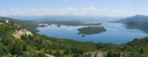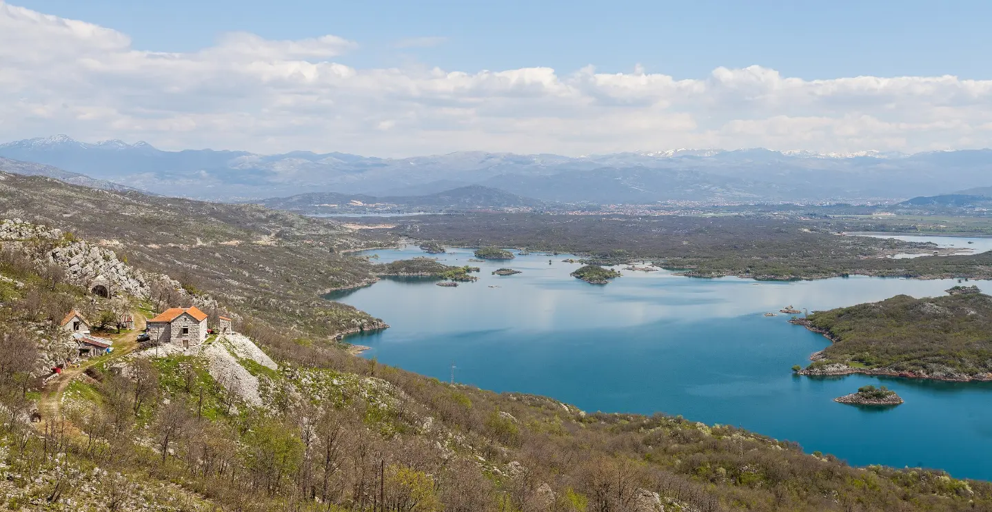
A long gravel tour along the old narrow-gauge railway route with viewpoints and a shelter.
A 55.2 km trail follows the old narrow-gauge railway route from Nikšić towards Bileća. The surface is predominantly gravel (67%), with a smaller portion of asphalt/concrete, and a moderate elevation gain of 322 m.
The cycling trail follows the old narrow-gauge railway route between Nikšić and Bileća. The length is 55.2 km and it is ridden in one direction, so you need to plan for a return journey or transport.
The surface is 67% gravel and 30% asphalt/concrete. Total elevation gain is 322 m and total descent is 380 m. The lowest point is at 600 m a.s.l., the highest at 864 m a.s.l. Estimated riding time without breaks is 4 h 20 min, making it a moderately difficult trail.
At the start of the trail there is a parking area, and the first viewpoint is at 657 m a.s.l. From 10.8 km to 11.6 km there are viewpoints at 795 m, 810 m and 842 m a.s.l. and a shelter at 832 m a.s.l. The terrain is open with views over the surrounding landscape.
The trail is best suited to cyclists with a gravel or cyclocross bike. Due to the length and gravel surface, good preparation, sufficient water and food are essential.
What this difficulty means
Some longer climbs or rougher surfaces. You need regular riding fitness.
Places on this route
Move along the profile to follow the route on the map; switch on 3D for the terrain.
↑ 322 m · ↓ 380 m · highest point 864 m
Along the way
Photos and short clips from points along the route — tap one to open it.
The viewpoint at 657 m a.s.l. is located 0.0 km from the start of the trail.
Viewpoints at 795 m, 810 m and 842 m a.s.l. are located at 10.8–11.6 km from the start.
The shelter at 832 m a.s.l. is located 11.5 km from the start.
The parking area is located 0.1 km from the start of the trail.
Use a gravel, cyclocross or mountain bike due to the predominantly gravel surface.
Bring enough water and food as the section is 55.2 km long.
Check the weather forecast and avoid riding in thunderstorms.
Set off early so you can finish the ride before dark.
As the trail runs in one direction, plan your return journey or transport in advance.
Carry basic tools and a pump for minor repairs.
The trail is long and partly passes through open terrain. Bring enough water, check the forecast and do not ride in thunderstorms or fog. For emergencies in Montenegro call 112.
Emergency number in Montenegro: 112.
Good to know
Best season
The best months are March, April, May, June, September, October and November. Summer months can be very hot, and in winter conditions on the higher sections are more unpredictable.
Getting there
The start of the trail is reached from the direction of Nikšić; the nearest landmark to the start is Tvrđava Bedem (about 4.6 km). The parking area is located 0.1 km from the start of the trail.
The trail is 55.2 km long and is ridden in one direction.
The estimated duration without breaks is 4 h 20 min.
The difficulty is moderate, with a total ascent of 322 m and a descent of 380 m.
The best months are March, April, May, June, September, October and November.

399 km↑ 9,352 m5–8 days
20.8 km↑ 848 m5½–8 h

413 km↑ 8,566 m5–8 days
16.4 km↑ 155 m4½–6 h
3.2 km↑ 508 m2–2½ h
2.7 km↑ 150 m45–65 min
10.5 km↑ 415 m3½–4½ h
Times and grades are estimates. Conditions change: check the weather and local information before you set out.

Ask about Montenegro
Ask me about destinations, restaurants or activities.