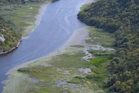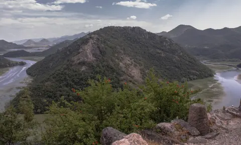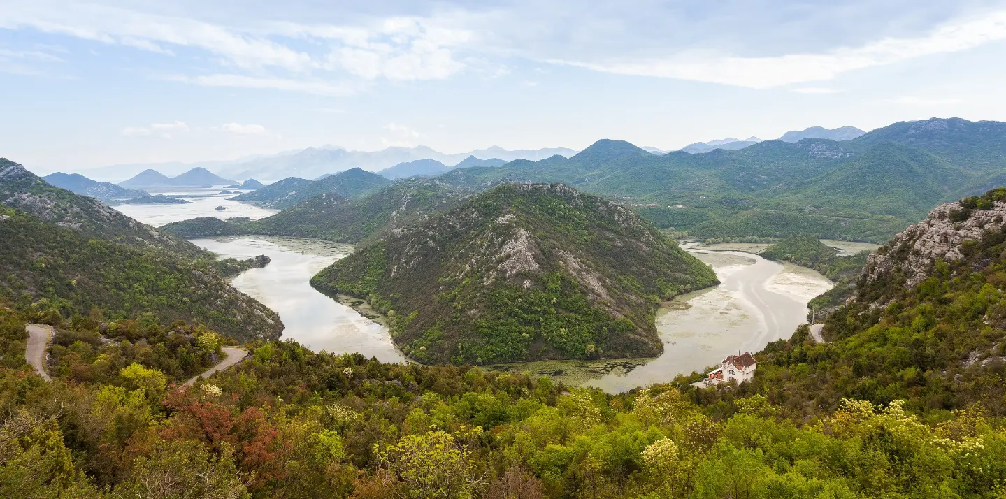
An easy cycling trail in Skadar Lake National Park, 10.7 km long, with several viewpoints.
Cycling trail NPSJ02 runs through Skadar Lake National Park. It is 10.7 km long, easy, and can be completed in about 50 min without stops, with a surface that is 100% asphalt/concrete.
Cycling trail NPSJ02 passes through Skadar Lake National Park. The trail is one-way, 10.7 km long, with a total ascent of 184 m and a total descent of 175 m. The lowest point is at 10 m a.s.l., and the highest at 180 m a.s.l. The surface is 100% asphalt/concrete, suitable for recreational riders as well. Without stops it takes about 50 min.
The route starts near the campsite "Camping Rijeka Crnojevica" (0.1 km from the start) and in the first section passes the campsite "Skadar Lake Family Resort" at 1.8 km. This is followed by viewpoints: at 3.3 km (126 m a.s.l.), "Horseshoe Bend" at 3.4 km (140 m a.s.l.) and "Pavlova strana" at 3.7 km (145 m a.s.l.). At 10.1 km there is a viewpoint at 66 m a.s.l., and the trail ends at a parking area at 10.7 km.
Due to the modest ascent and asphalt surface, the trail is rated easy. It is suitable for recreational cyclists. Open viewpoints are found along the route, and the entire route lies within the national park.
What this difficulty means
Mostly flat or gentle riding on good surfaces. Fine for occasional riders and families.
Move along the profile to follow the route on the map; switch on 3D for the terrain.
↑ 184 m · ↓ 175 m · highest point 180 m
Along the way
Photos and short clips from points along the route — tap one to open it.
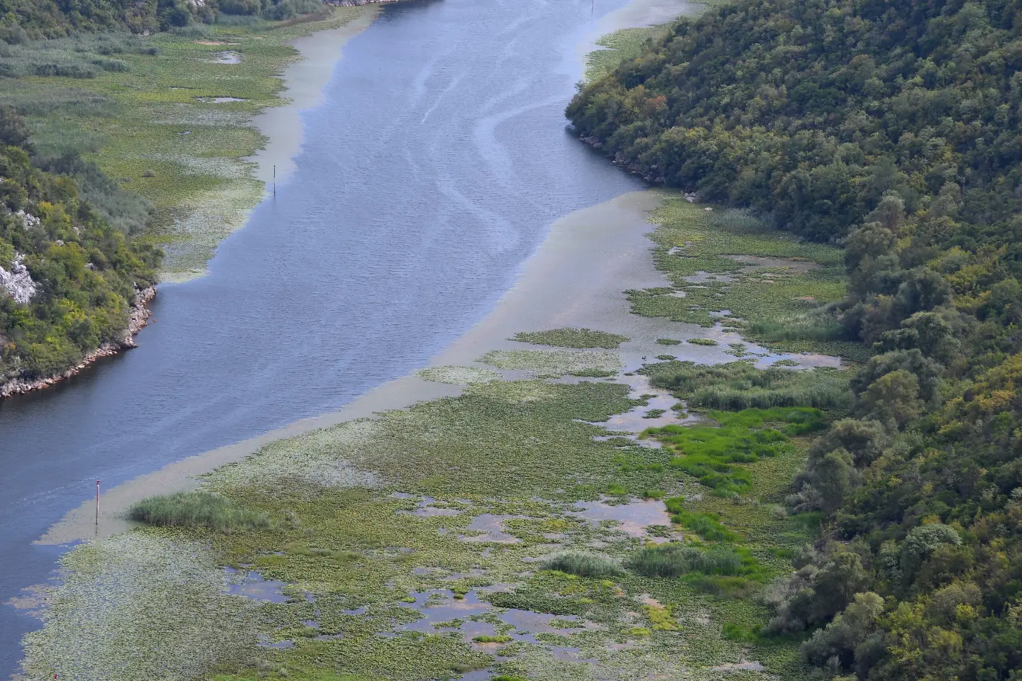
Located at 3.4 km from the start, at 140 m a.s.l.
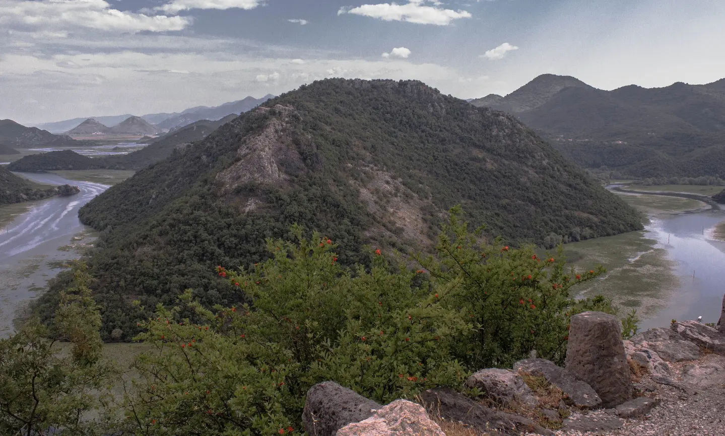
Located at 3.7 km from the start, at 145 m a.s.l.
At 1.8 km from the start, at 93 m a.s.l.
Located at 66 m a.s.l., just before the end of the trail.
Put on a protective helmet and check that your bike is in good working order before riding.
Bring enough water, especially in the warmer months.
Use sun protection on the open sections.
Check the weather forecast and do not linger at the viewpoints in case of thunder.
Bring a spare tube and tools for minor repairs.
Ride carefully and wear a helmet. At open viewpoints, watch out for sun and wind. In case of an accident, call the emergency number 112.
Emergency number in Montenegro: 112.
Good to know
Best season
Due to the low elevation (10–180 m), the most pleasant riding is in spring and autumn. In summer, set out earlier in the morning or later in the afternoon.
Getting there
The trail starts 0.1 km from the campsite "Camping Rijeka Crnojevica". The area is approached from the direction of Cetinje (about 9.3 km from the trail) and Žabljak Crnojevića (about 6.2 km from the trail). Karuč is about 6.5 km from the start of the trail.
The trail is 10.7 km long and runs in one direction.
Without stops, about 50 minutes are needed.
On our scale it is easy. The surface is 100% asphalt/concrete, and the total ascent is 184 m.
In the Skadar Lake National Park, near Cetinje, Žabljak Crnojevića and Karuč.
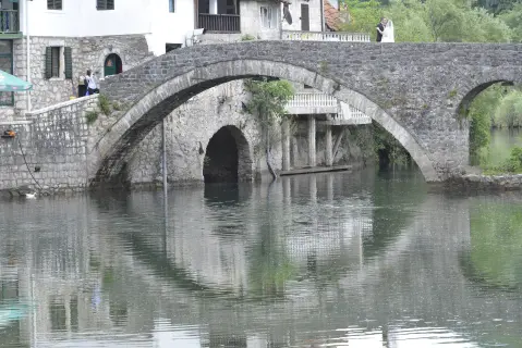
10.1 km↑ 386 m3–4½ h
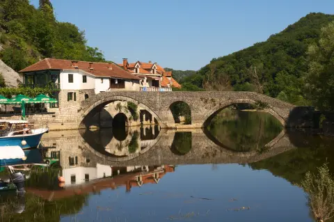
14.1 km↑ 547 m4–5½ h

195 km↑ 3,259 m2–3 days
2.7 km↑ 32 m50–70 min
3.1 km↑ 110 m55–80 min
Loop1.3 km↑ 11 m30–40 min
5.0 km↑ 176 m1½–2 h
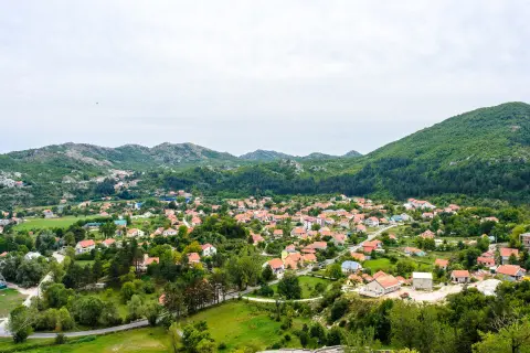
3.5 km55–80 min
Times and grades are estimates. Conditions change: check the weather and local information before you set out.

Ask about Montenegro
Ask me about destinations, restaurants or activities.