Easy 13,4 km gravel trail with a gentle climb and two springs along the way.
Biking Trail PV06 is an easy one-way cycling trail. It runs 13,4 km on gravel, with a total ascent of 279 m and passes two springs.
Biking Trail PV06 is an easy one-way cycling tour. The trail is 13,4 km long and runs entirely on gravel. Riding without breaks takes about 1 h 25 min.
The terrain is gently undulating. The lowest point is at 1202 m a.s.l., and the highest at 1342 m a.s.l. Total ascent is 279 m and total descent is 142 m. The climb is evenly distributed, so the trail is pleasant even for less experienced cyclists.
At 3,1 km from the start there is a spring at 1315 m a.s.l., and at 4,9 km a spring at 1307 m a.s.l. Ride on gravel and enjoy a relaxed pace. Because of the altitude from 1202 to 1342 m, expect cooler weather and changeable conditions. The trail is suitable for recreational cyclists, gravel bikes and MTBs. There are no major technical challenges.
What this difficulty means
Mostly flat or gentle riding on good surfaces. Fine for occasional riders and families.
Move along the profile to follow the route on the map; switch on 3D for the terrain.
↑ 279 m · ↓ 142 m · highest point 1,342 m
At 3,1 km from the start of the trail there is a spring at 1315 m a.s.l.
At 4,9 km from the start of the trail there is a spring at 1307 m a.s.l.
Total ascent is 279 m and total descent is 142 m, so the tour is easy.
The trail is one-way, 13,4 km long; the start and end are not at the same location.
Bring enough water even though there are two springs along the trail.
Check the weather forecast before setting off; at 1202–1342 m a.s.l. the weather changes quickly.
Use a properly maintained bike with gravel tires and carry a spare inner tube.
A helmet is mandatory, even on easy sections.
Set off earlier in the morning to avoid heat and afternoon showers.
Bring basic tools and a bicycle pump.
The trail runs at an altitude of 1202 to 1342 m. Sudden weather changes, fog and thunderstorms are possible. In case of an accident, call 112.
Emergency number in Montenegro: 112.
Good to know
Best season
It is best to ride from late spring to early autumn, when the trail and weather conditions are most favorable. In winter and early spring there can be snow and mud at this altitude.
Getting there
The start of the Biking Trail PV06 is reached by local roads. Check parking availability and the access road before setting off.
The trail is 13,4 km long and is ridden in one direction.
Estimated duration without breaks is 1 h 25 min.
The trail is easy. Total ascent is 279 m, and total descent is 142 m, with a macadam surface.
The trail is 100% macadam, suitable for gravel and MTB bikes.
Cycling · Zminičko Lake · Durmitor National Park
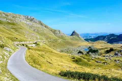
Cycling · Bijelo Polje · Biogradska Gora National Park
Cycling · Ćehotina Meanders Viewpoint
Cycling
Cycling
Cycling
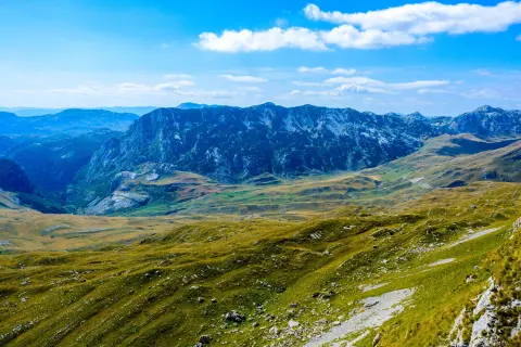
Cycling · Riblje jezero · Durmitor National Park
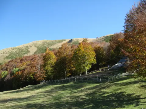
Hiking · Crno Jezero · Durmitor National Park
Times and grades are estimates. Conditions change: check the weather and local information before you set out. Map and data sources →

