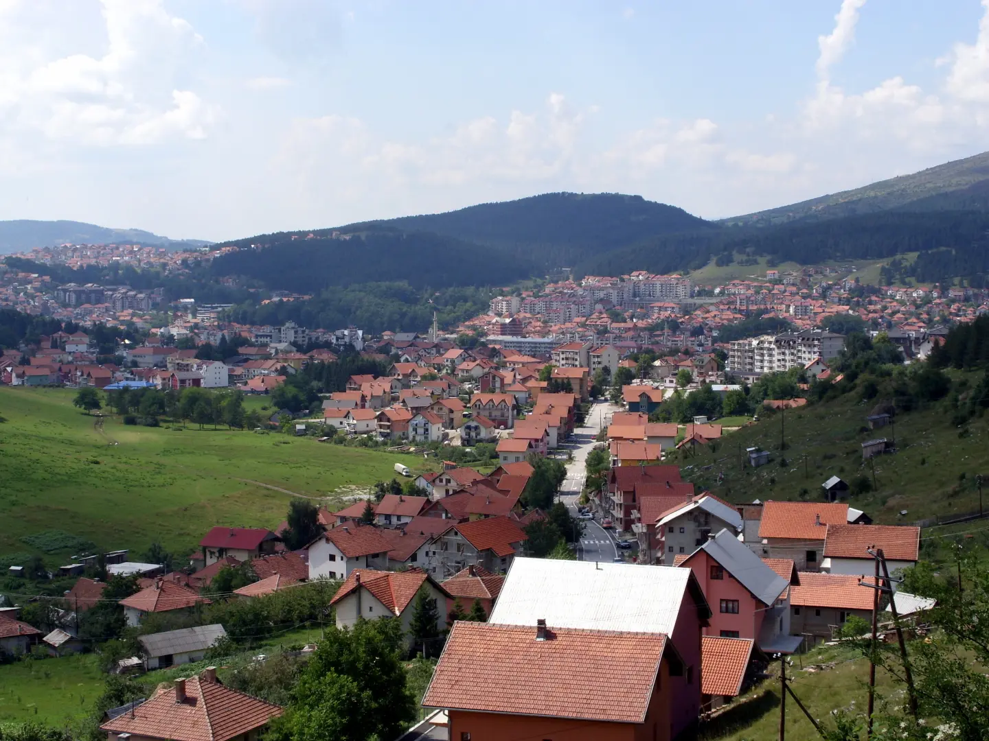
Demanding bicycle tour of 50,9 km through the surroundings of Pljevlja, with springs and viewpoints.
Biking Trail PV01 is a predominantly asphalt bicycle route 50,9 km long, with 1081 m of elevation gain. It is ridden in one direction through the surroundings of Pljevlja, passing springs, a shelter and viewpoints.
Route PV01 is intended for cyclists and is ridden in one direction through the surroundings of Pljevlja. The route is marked. It is 50,9 km long, and the surface is predominantly asphalt or concrete (92 %), with short sections of macadam (8 %). Total ascent is 1081 m, and total descent 1299 m. The lowest point is at 752 m above sea level, and the highest at 1274 m.
Along the route there are several springs and drinking water fountains, as well as a shelter and a viewpoint. The route passes close to Pljevlja, and nearby is the Meandri Ćehotine viewpoint. Due to the elevation gain and length, the tour is rated as demanding; without breaks the ride takes about 4 hours and 20 minutes.
Good physical preparation and cycling equipment suitable for weather conditions are recommended. Part of the route runs at altitude, so even in summer it can be cool.
What this difficulty means
Long distances, big climbs or technical sections. For fit, experienced riders.
Places on this route
Move along the profile to follow the route on the map; switch on 3D for the terrain.
↑ 1,081 m · ↓ 1,299 m · highest point 1,274 m
Along the route there are five points with drinking water: fountains at 4,0 km and 38,7 km, and springs at 10,1 km, 14,7 km and 26,3 km.
At 21,1 km from the start there is a shelter at 891 m a.s.l.
At 22,3 km from the start there is a viewpoint at 941 m a.s.l.
The route passes about 0,1 km from Pljevlja, and the Meandri Ćehotine viewpoint is about 1,5 km from the route.
Bring enough water; although there are springs and fountains along the way, they can be far apart on longer sections.
Start early, especially in summer, because the tour without breaks takes about 4 hours and 20 minutes.
Check the weather forecast and bring a windbreaker or layered clothing for the high-altitude sections.
Due to the demanding length and elevation gain, service your bicycle beforehand and bring a spare tube.
On descents and shorter macadam sections, control your speed.
Wear a helmet and bright clothing.
On asphalt sections, obey traffic regulations and be visible. On descents and macadam, reduce speed. In mountain conditions, weather can change quickly; in case of emergency call 112.
Emergency number in Montenegro: 112.
Good to know
Best season
Due to altitudes up to 1274 m a.s.l., the most reliable period is from late spring to early autumn. In summer start earlier, and in the colder part of the year snow or ice is possible on high sections.
Getting there
The route passes about 0,1 km from Pljevlja, so Pljevlja is the nearest landmark for reaching the route.
The route is 50,9 km long and is ridden in one direction.
The estimated duration without breaks is 4 hours and 20 minutes.
It is rated as demanding, with a total ascent of 1081 m and the highest point at 1274 m above sea level.
Asphalt or concrete make up 92 % of the trail, and gravel 8 %.
84.6 km↑ 1,878 m8–11½ h
15.6 km↑ 402 m1½–2 h
36.3 km↑ 953 m3½–5 h

399 km↑ 9,352 m5–8 days
13.4 km↑ 279 m1–1½ h
14.5 km↑ 529 m1½–2 h
19.2 km↑ 770 m2–2½ h

413 km↑ 8,566 m5–8 days
Times and grades are estimates. Conditions change: check the weather and local information before you set out.

Ask about Montenegro
Ask me about destinations, restaurants or activities.
