Travel to Montenegro
Ćehotina Meanders Viewpoint
Natural viewpoint

Ćehotina Meanders Viewpoint

Viewpoint with a panoramic view of the Ćehotina River meanders, 20 km from Pljevlja

Overview

The Ćehotina Meanders Viewpoint is one of the most beautiful natural phenomena in northern Montenegro.

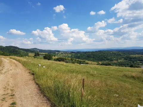
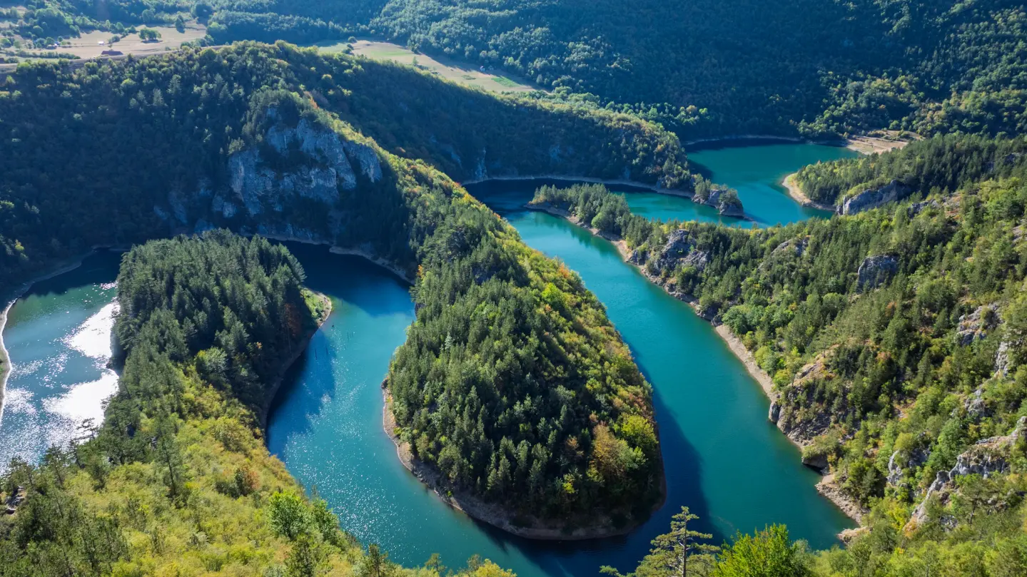
It is located 20 km from Pljevlja, on the road to Bijelo Polje, near the village of Mataruge. From the viewpoint, you get a spectacular view of the winding course of the Ćehotina River, which became visible after the construction of the Otilovići reservoir. This place attracts nature lovers, hikers, cyclists and photographers, and is particularly popular for aerial photography. Visitors can drive along a gravel road to near the viewpoint, then walk about 200 metres to the viewpoint offering an impressive view of the meanders and surrounding forests.

Highlights

Discover Ćehotina Meanders Viewpoint

Ćehotina Meanders Viewpoint

Ćehotina Meanders Viewpoint

The arranged viewpoint located near the village of Mataruge, 20 km from Pljevlja, offers the most beautiful view of the Ćehotina meanders. It is reached via a short 200-metre footpath from the parking area. The platform is spacious and provides a safe spot for photography and relaxation. From the viewpoint, you can see the entire winding course of the river cut into the green canyon, with the Ljubišnja massif looming in the background.
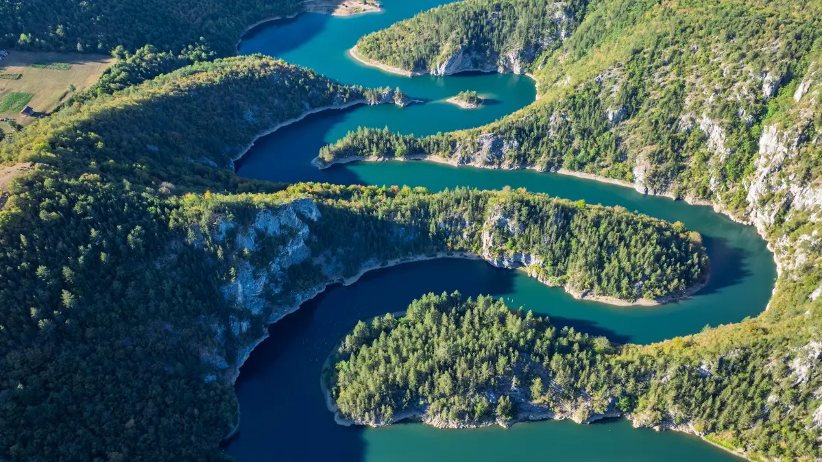
Meanders of the Ćehotina River

Meanders of the Ćehotina River

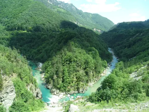
This natural phenomenon is characterized by spectacular river bends created by erosion and became visible after the construction of the Otilovići reservoir. The Ćehotina, a long tributary of the Drina, here creates a fairy-tale landscape – green arches surrounded by dense forest. The meanders are an important habitat for numerous bird and fish species, and the area is considered a natural gem of Montenegro.

Ćehotina Canyon

Ćehotina Canyon

The Ćehotina River canyon is a deeply incised valley with steep sides and hidden coves. It provides shelter for rare species and is ideal for hiking and exploration. In some places the canyon narrows to just a few tens of metres, creating dramatic contrasts. Visitors can also follow the fishing trail along the shore, where eagles and owls are often seen.

Aerial photography and viewing points

Aerial photography and viewing points

A considerable number of photographers come precisely for the opportunity of aerial photography, as the meanders from the air look like a work of art. Drones are permitted and there are several unofficial points offering panoramic shots. For those without a drone, the morning mist that descends into the canyon creates magical scenes even from the ground. Using a wide-angle lens is recommended for the full experience.

What to do

Activities in Ćehotina Meanders Viewpoint

  • Culture

    Photography

    A perfect location for landscape and aerial photography of the meanders and canyon.

  • Mountains

    Hiking and Walking

    A gentle walk to the viewpoint and exploring the surroundings on trails.

  • Adventure

    Cycling

    Cycling along gravel roads to the viewpoint and further to excursion sites.

  • Nature

    Birdwatching

    Rich biodiversity allows for observing rare bird species in the canyon.

Around here

Nearby places

  1. Pljevlja

    Pljevlja

    City · 10 km

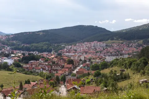
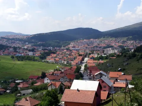
    Pljevlja is a city in northern Montenegro, known for the Monastery of the Holy Trinity, the Husein-Pasha Mosque, and the Meandri Ćehotine viewpoint.

  2. Husein-pasha Mosque

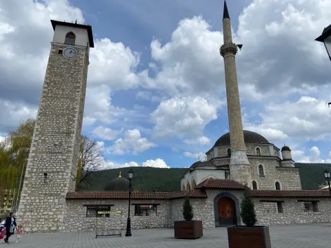
    Husein-pasha Mosque

    Historical Site · 10 km

    A masterpiece of Islamic architecture from 1569 in the heart of Pljevlja.

  3. Holy Trinity Monastery

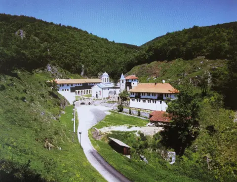
    Holy Trinity Monastery

    Religious Site · 11 km

    Monastery on a terrace above the Breznica stream, about 2 km from the centre of Pljevlja, known for its frescoes of 1592–1595, its scriptorium and its rich treasury.

  4. Tara River Canyon

    Tara River Canyon

    Canyon · 18 km

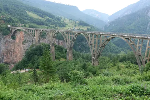
    The Tara canyon is 78 km long and up to about 1,300 m deep; the Đurđevića Tara bridge of 1940 spans it, and the river is run by raft.

  5. Đurđevića Tara Bridge

    Đurđevića Tara Bridge

    Historical Site · 18 km

    Reinforced concrete bridge with five arches over the Tara, completed in 1940: about 365 m long, with a main arch spanning 116 m and a roadway up to 172 m above the river.

  6. Zminičko Lake

    Zminičko Lake

    Lake · 25 km

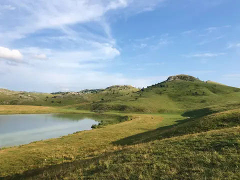
    A glacial lake at an altitude of 1,285 m, located near the village of Zminica at the foot of Mount Sinjajevina.

Plan Your Visit

Weather & Useful Info

When to come

Monthly averages – Pljevlja.

  • Jan: Air (max) 5 °C
  • Feb: Air (max) 8 °C
  • Mar: Air (max) 10 °C
  • Apr: Air (max) 14 °C
  • May: Air (max) 20 °C
  • Jun: Air (max) 24 °C
  • Jul: Air (max) 27 °C
  • Aug: Air (max) 26 °C
  • Sep: Air (max) 21 °C
  • Oct: Air (max) 18 °C
  • Nov: Air (max) 11 °C
  • Dec: Air (max) 7 °C
Air (max)Best time to visit
Climate and weather – Pljevlja
The best time to visit is from spring to autumn (April – October), when access is easier and the vegetation is lush and green. For photography, the golden hours in the morning and early evening provide the best lighting.

Visitor tip

Bring a camera and drone for spectacular shots. The best light is early morning or late afternoon when the sun highlights the curves. Wear comfortable shoes as the last 200 metres are on foot. The viewpoint has no facilities, so bring water and snacks. Combine the visit with nearby excursion sites such as Mejtef or Krakalice.

Good to know

Opening hours
Vidikovac is an open-type viewpoint, accessible 24 hours a day.
Admission
Free entry.
Parking
Free parking at the start of the gravel road, near Vidikovac.
Accessibility
Not accessible for people with disabilities due to uneven terrain and a walking section.

Getting Here

By Plane

The nearest airports are Podgorica (TGD) at about 170 km and Tivat (TIV) at about 230 km. It is best to rent a car from the airport to tour the northern region.

By Car

By car from Pljevlja on the road towards Bijelo Polje, about 20 km. Turn off the main road onto a gravel road leading to the village of Mataruge, then park and walk about 200 m to the viewpoint. The path is well trodden and suitable for all types of vehicles.

By Bus

Regular bus service to Pljevlja from major cities. From Pljevlja there is no direct public transport to the site, so a taxi or own car is recommended.

Open in Google Maps
Day plan

Suggested Itineraries

Weekend on the Meanders: 2 Days in Pljevlja

  1. Day 1 · Ćehotina Meanders and Mejtef

    Ćehotina Meanders and Mejtef Excursion Site

    In the morning, start from Pljevlja on the road towards Bijelo Polje and after 20 km arrive at the Ćehotina Meanders viewpoint. A gravel road leads to the parking area, then a 200-metre gentle walk separates you from the spectacular view. Spend at least an hour taking photos and enjoying the landscape. Continue to the Mejtef excursion site (25 km from Pljevlja) where you can explore the necropolis with stećci and the spring of warm sulphurous water. Have lunch at the restaurant ‘Vodenica’ on the banks of the Ćehotina, known for fish specialties. In the afternoon, return to Pljevlja and stroll through the town centre, visit the Husein-pasha Mosque and the Church of St. Petka. Tip: Bring a drone if you have one – the meanders from the air are incredible.
  2. Day 2 · Ljubišnja and Đurđevića Tara

    Ljubišnja Mountain and Tara Canyon

    On the second day, choose an excursion to Mount Ljubišnja (30 km from Pljevlja) with its giant pines and spruces. Spend the morning in a light walk along mountain trails and enjoy the fresh air. Visit the nearby drinking water springs and listen to the legend of forbidden love. Have lunch at the mountain restaurant ‘Kod Spasoja’ with a home-style table. In the afternoon, descend to the bridge on Đurđevića Tara, an impressive arch that inspired Hollywood films. Return to Pljevlja at dusk. Insider tip: Ljubišnja is less crowded than Durmitor, yet the nature is equally enchanting.
FAQ

Frequently Asked Questions

The easiest way is by car from Pljevlja, following the road towards Bijelo Polje. After 20 km, take a gravel road to the parking area near the village of Mataruge, then walk the last 200 metres to the viewpoint.

The path to the viewpoint is short and gentle, but the gravel and 200-metre walk may be challenging for people with reduced mobility. For children it is fine with supervision.

Generally permitted, but always check local regulations and avoid areas near traffic. The meanders are especially popular for aerial photography.

No. The viewpoint is a natural area with no structures, so bring everything you need – water, food and a mobile toilet if necessary.

Early morning and late afternoon (golden hours) give the softest light that accentuates the curves of the river. In spring and autumn the sun is lower, creating long shadows.