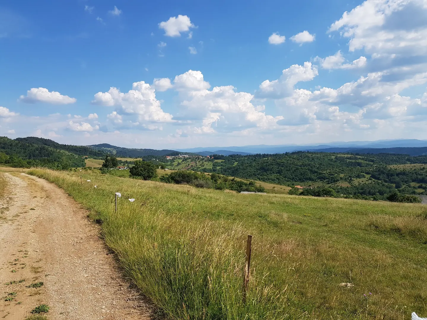
A one-way cycling trail from Pljevlja: 19.2 km, mostly asphalt, with 770 m of ascent and moderate difficulty.
Cycling trail PV02 is 19.2 km long and runs one-way from Pljevlja. It has 770 m of ascent, 280 m of descent, a mostly asphalt surface and moderate difficulty, with a spring located at 13.9 km.
Biking Trail PV02 starts approximately 0.3 km from Pljevlja, where parking areas are available near the start of the trail. The trail is one-way and 19.2 km long. The lowest point is at 769 m a.s.l. and the highest at 1282 m a.s.l. Total ascent is 770 m and total descent is 280 m. The estimated riding time without breaks is 2 hours and 15 minutes, and the difficulty is moderate.
The surface is mostly asphalt/concrete (83%), with a smaller portion of gravel road (17%). The gravel sections require caution, but the trail is suitable for recreational cyclists with moderate fitness.
Near the trail, approximately 6.2 km from the route, is the Vidikovac Meandri Ćehotine viewpoint. At 13.9 km from the start of the trail there is a spring at 1144 m a.s.l. The end of the trail is not in the same location as the start, so plan your return or transport in advance.
What this difficulty means
Some longer climbs or rougher surfaces. You need regular riding fitness.
Places on this route
Move along the profile to follow the route on the map; switch on 3D for the terrain.
↑ 770 m · ↓ 280 m · highest point 1,282 m
Located approximately 6.2 km from the trail route.
At 13.9 km from the start of the trail there is a spring at an altitude of 1144 m a.s.l.
The trail has 770 m of ascent and 280 m of descent, with the highest point at 1282 m a.s.l.
Wear a helmet and check your brakes before riding.
Bring enough water and snacks; the spring on the trail may not be reliable for drinking.
Set off early, especially in summer, to avoid the hottest part of the day.
Check the weather forecast and be prepared for changing conditions on the higher sections.
Since the trail is one-way, arrange your return or transport in advance.
Due to the gravel sections, adjust your speed and watch out for skidding.
At higher sections the weather can deteriorate quickly, so bring appropriate clothing and a mobile phone. Monitor the weather forecast and avoid riding during thunderstorms. In case of an accident, call 112.
Emergency number in Montenegro: 112.
Good to know
Best season
The best period for riding is from late spring to early autumn, when temperatures are pleasant and the trail is mostly dry. In winter and early spring, higher sections can be cold and slippery.
Getting there
The start of the trail is approximately 0.3 km from Pljevlja. Parking areas are available near the start of the trail (at 0.0 km and 0.1 km from the start).
The trail is 19.2 km long.
The estimated duration without breaks is 2 hours and 15 minutes.
The difficulty is moderate, with a total ascent of 770 m and a descent of 280 m.
83% of the trail is asphalt/concrete, and 17% is gravel.
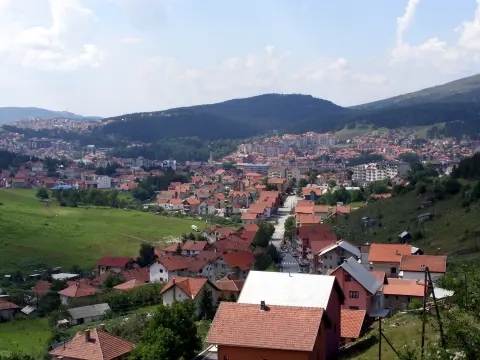
50.9 km↑ 1,081 m3½–5 h
37.0 km↑ 1,617 m5–7 h
36.9 km↑ 757 m2½–3½ h
8.0 km↑ 119 m40–55 min
13.9 km↑ 160 m65–90 min
14.5 km↑ 529 m1½–2 h
15.6 km↑ 402 m1½–2 h
13.4 km↑ 279 m1–1½ h
Times and grades are estimates. Conditions change: check the weather and local information before you set out.

Ask about Montenegro
Ask me about destinations, restaurants or activities.
