An easy one-way cycling trail with a mixed surface and views of the meanders of the Ćehotina.
Biking Trail PV03 is an easy cycling trail 15.6 km long. The mixed surface (71% asphalt/concrete, 29% gravel road) passes by Kozičko brdo and near the Ćehotina Meanders Viewpoint.
Biking Trail PV03 is an easy one-way cycling trail, 15.6 km long. The ride takes about 1 hour and 50 minutes without breaks. The trail runs between 990 m a.s.l. and 1271 m a.s.l., with a total ascent of 402 m and a descent of 336 m.
The surface is mixed: 71% asphalt/concrete and 29% gravel road. This makes the trail suitable for trekking and gravel bikes, as well as for a wider group of recreational riders. The gravel sections require slightly more cautious riding.
At 9.1 km from the start, the trail passes near the summit of Kozičko brdo (1280 m a.s.l.). Close to the trail, around 4.5 km, is the Ćehotina Meanders Viewpoint, which offers views of the meanders of the Ćehotina.
The trail is easy in difficulty and is a good choice for a relaxed full-day or half-day ride with breaks. Due to its one-way nature, plan your transport from the end back to the start, or vice versa, in advance.
What this difficulty means
Mostly flat or gentle riding on good surfaces. Fine for occasional riders and families.
Places on this route
Move along the profile to follow the route on the map; switch on 3D for the terrain.
↑ 402 m · ↓ 336 m · highest point 1,271 m
Along the way
Summit at 1280 m a.s.l., approximately 9.1 km from the start of the trail.
Located approximately 4.5 km from the trail; ideal for viewing the meanders of the Ćehotina.
Total ascent 402 m, total descent 336 m; highest point 1271 m a.s.l.
Bring enough water, especially during the summer months.
Check the weather forecast before setting off.
Wear a helmet and bring a spare inner tube – the gravel sections can be loose.
Plan your transport in advance, as the trail is not a loop.
On sunny days, use sunscreen with a protection factor and sunglasses.
On gravel sections, reduce your speed and watch out for loose terrain. In the event of thunder or fog, stop riding and descend to lower areas. For emergencies, call 112.
Emergency number in Montenegro: 112.
Good to know
Best season
The best time to ride is from spring to autumn. In winter, the higher sections of the trail (990–1271 m a.s.l.) are often cold and there may be snow.
Getting there
The exact starting point is not stated in the trail description. Since the trail is one-way, plan your transport from the end to the start in advance.
The trail is 15.6 km long.
The estimated duration without breaks is 1 h 50 min.
The trail is easy in difficulty, with a total ascent of 402 m.
The surface is mixed: 71 % asphalt/concrete and 29 % gravel.
Cycling
Cycling
Cycling · Zminičko Lake · Durmitor National Park
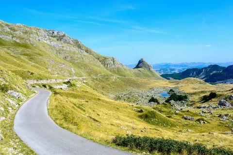
Cycling · Bijelo Polje · Durmitor National Park
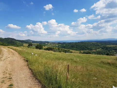
Cycling · Pljevlja
Cycling · Ćehotina Meanders Viewpoint
Cycling
Cycling · Pljevlja
Times and grades are estimates. Conditions change: check the weather and local information before you set out. Map and data sources →

