A moderate one-way cycling trail, 30.0 km long, with a combination of asphalt and gravel.
Cycling trail PV08 is 30.0 km long and rides in one direction. It has moderate difficulty, 747 m of ascent, and a surface that is 62% asphalt/concrete and 38% gravel.
Cycling trail PV08 is 30.0 km long and rides in one direction. The total ascent is 747 m and the total descent 603 m. The lowest point of the trail is at 1,233 m a.s.l., and the highest at 1,592 m a.s.l.
The surface is mixed: 62% asphalt/concrete and 38% gravel. The trail combines paved sections with gravel parts. At 17.5 km from the start there is a drinking water fountain at 1,244 m a.s.l., and at 26.1 km the fountain 'Eljenak' at 1,533 m a.s.l.
By estimate, riding without breaks takes around 3 h 30 min. The difficulty of the trail is moderate, making it suitable for cyclists with a basic level of fitness. Near the trail are Žabljak (about 8.9 km), Sušičko jezero (about 9.8 km) and Crno Jezero (about 9.9 km).
What this difficulty means
Some longer climbs or rougher surfaces. You need regular riding fitness.
Places on this route
Move along the profile to follow the route on the map; switch on 3D for the terrain.
↑ 747 m · ↓ 603 m · highest point 1,592 m
Along the way
30.0 km in length, 747 m of ascent and 603 m of descent; lowest point 1,233 m a.s.l., highest 1,592 m a.s.l.
Drinking water is available at 1,244 m a.s.l.
At 26.1 km from the start of the trail, at 1,533 m a.s.l.
Žabljak, Sušičko jezero and Crno Jezero are within 10 km of the trail.
Wear a helmet and check your brakes and tyres before setting off.
Bring a spare inner tube, pump and basic repair tools.
There are two fountains on the trail, but bring enough water and use them to top up.
Set off early in the morning to avoid the hottest part of the day and any potential afternoon storms.
Dress in layers; at elevations from 1,233 m to 1,592 m the weather can change quickly.
After rain the gravel sections can be slippery, so adjust your speed accordingly.
The trail passes through a mountainous area at elevations ranging from 1,233 m to 1,592 m. Weather can change quickly, and in the event of a storm, take shelter away from open terrain. At higher sections mobile phone signal may be limited. In case of an emergency call 112.
Emergency number in Montenegro: 112.
Good to know
Best season
Due to the elevation, the most reliable period for riding is generally from late spring to early autumn, when the roads are mostly clear and free of snow.
Getting there
The trail is closest to Žabljak, which is about 8.9 km away. The trail area is reached from the direction of Žabljak; check the exact starting point on the map.
The length is 30.0 km, and the estimated duration without breaks is 3 h 30 min.
The difficulty is moderate, with a total ascent of 747 m and a descent of 603 m.
The surface is mixed: 62% asphalt/concrete and 38% gravel.
At 17.5 km from the start there is a spring at 1244 m a.s.l., and at 26.1 km the "Eljenak" spring at 1533 m a.s.l.
Cycling
Cycling
Cycling · Zminičko Lake · Durmitor National Park
Cycling · Ćehotina Meanders Viewpoint
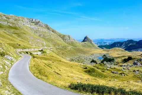
Cycling · Bijelo Polje · Durmitor National Park
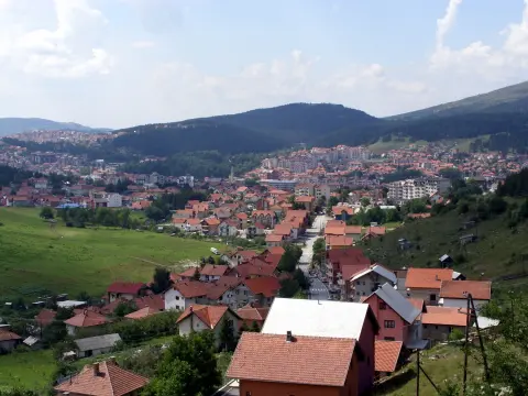
Cycling
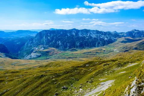
Cycling · Riblje jezero · Durmitor National Park
Cycling · Pljevlja
Times and grades are estimates. Conditions change: check the weather and local information before you set out. Map and data sources →

