Short and easy hiking section at an elevation of 1759 to 1862 m a.s.l.
Easy one-way walking tour through mountain terrain: 3,0 km, ascent 86 m, duration about 1 h 5 min. Highest point 1862 m a.s.l.
This is an easy one-way walking tour, suitable for beginners and anyone who wants a shorter stay in the mountains. The trail is 3,0 km long, with a total ascent of 86 m and descent of 146 m. The crossing without breaks takes about 1 h 5 min.
The route runs between the lowest point at 1759 m a.s.l. and the highest point at 1862 m a.s.l. The terrain is mostly a dirt/forest trail (78 %), and a smaller part follows a gravel road (22 %). This makes walking pleasant, but hiking footwear makes sense even on easier sections.
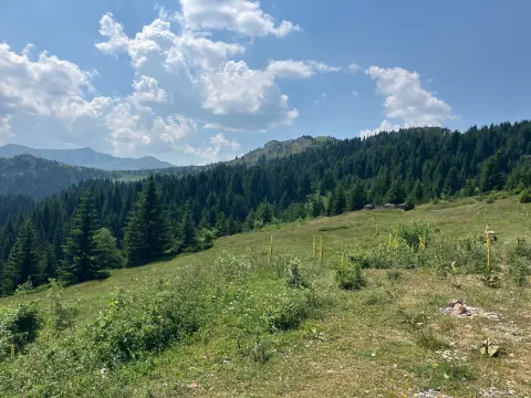
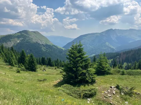
During the tour, forest areas and more open sections alternate. The trail is not technically demanding, but the altitude brings changeable mountain conditions. Bring enough water and protection from sun, wind, or short-lasting rain.
What this difficulty means
Well-made paths with gentle gradients. Fine for families and anyone used to walking a few hours.
Move along the profile to follow the route on the map; switch on 3D for the terrain.
↑ 86 m · ↓ 146 m · highest point 1,862 m
The difficulty is rated as easy, so the tour is suitable for beginners.
The trail climbs to 1862 m a.s.l.
The lowest point of the trail is at 1759 m a.s.l.
Wear hiking footwear and layered clothing.
Bring enough water, even though the tour is short.
Before setting off, check the weather forecast; at this altitude the weather changes quickly.
Start earlier during the summer months because of the heat and possible afternoon showers.
Bring a map or GPS device because the trail goes in one direction.
At an altitude between 1759 m and 1862 m a.s.l., fog, wind, and thunderstorms can form quickly. Follow the trail and do not leave the marked route. In case of an accident, call 112.
Emergency number in Montenegro: 112.
Good to know
Best season
The best time to visit is from late spring to early autumn, when the trails are mostly passable and free of snow.
Getting there
The trailhead is reached by local mountain roads; check the exact access before setting off.
The trail is 3,0 km long.
Without breaks, about 1 h 5 min.
The difficulty is easy, with a total ascent of 86 m and descent of 146 m.
No, the trail is one-way.
52.1 km↑ 3,118 m3–4 days

262 km↑ 6,918 m4–5 days
93.5 km↑ 3,250 m4–5 days
61.3 km↑ 1,755 m6½–9 h
15.5 km↑ 836 m5½–7½ h
Loop
24.9 km↑ 1,752 m2–3 days
15.8 km↑ 1,182 m6–8½ h
27.2 km↑ 1,216 m8–11½ h
Times and grades are estimates. Conditions change: check the weather and local information before you set out.

Ask about Montenegro
Ask me about destinations, restaurants or activities.
