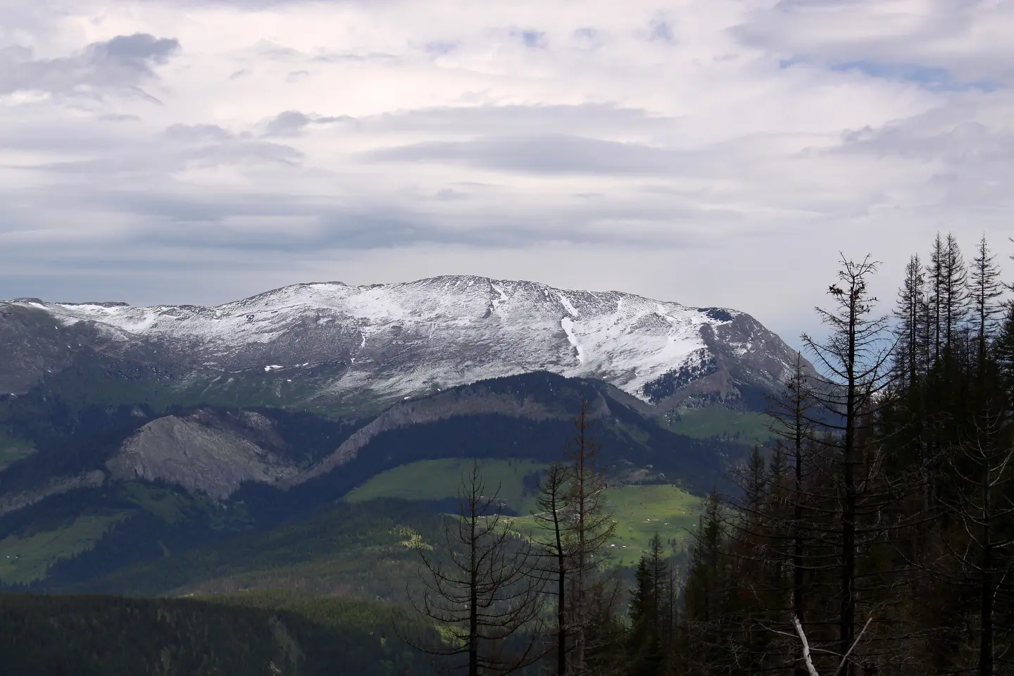
Mountaineering tour along high ridges from Bandžov via Hajla to Džakovica.
A demanding one-way mountaineering trail 24,9 km long, with an ascent of 1752 m. It leads over Hajla, Cmiljevica and the Grope Mountain Hut, and is intended as a multi-day tour for experienced hikers.
The trail starts in Bandžov, at Hodžin krš (1276 m a.s.l.). At the beginning it leads over Bjeluško brdo (1510 m a.s.l.) and several springs, then climbs towards the Grope Mountain Hut (1891 m a.s.l.). At 9,6 km is the summit Hajla / Hajlë (2403 m a.s.l.); the highest point of the tour is 2395 m a.s.l., and the lowest is 1246 m a.s.l.
After Hajla the trail continues towards the summit Hajla e Shkrelit (2011 m a.s.l.) and the pass Qafa e Dasmorëve (1769 m a.s.l.). The last major climb is Cmiljevica (1963 m a.s.l.), and then it descends towards Džakovica.
Total length is 24,9 km, with an ascent of 1752 m and a descent of 1378 m. Estimated walking time without breaks is 11 h 45 min, so the route is recommended as a multi-day tour. The surface is mostly dirt/forest (87 %), with a smaller part asphalt/concrete (12 %). The trail is marked and intended for experienced mountaineers.
What this difficulty means
Very long or alpine terrain where hands may be needed, with few ways out. Only for experienced mountaineers in stable weather.
Places on this route
Move along the profile to follow the route on the map; switch on 3D for the terrain.
↑ 1,752 m · ↓ 1,378 m · highest point 2,395 m
Along the way
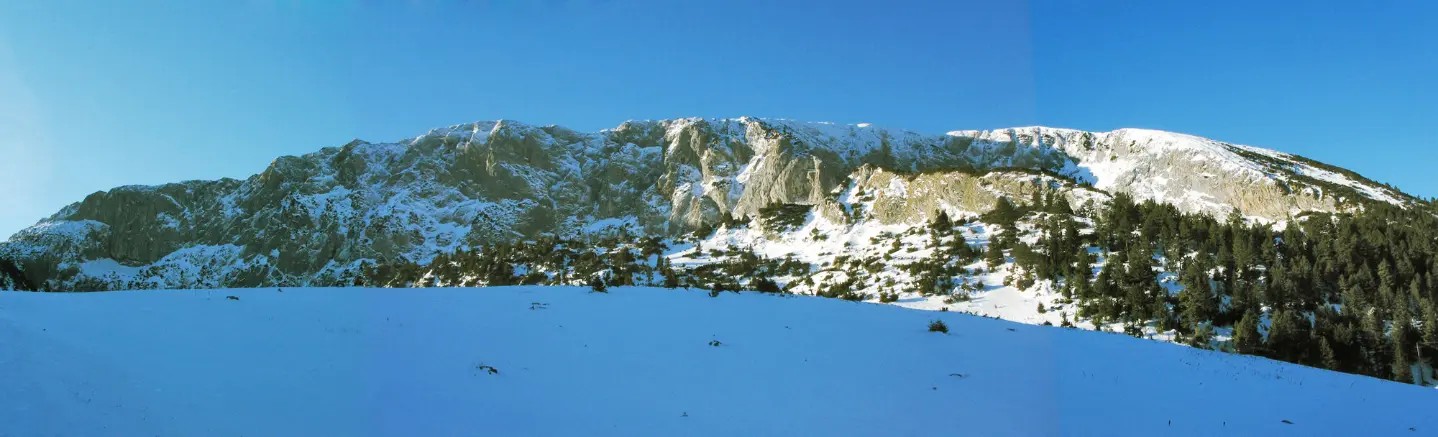
Summit at 2403 m a.s.l., 9,6 km from the start; one of the key climbs of the tour.
Starting point of the trail at 1276 m a.s.l., in Bandžov, near Rožaje.
Mountain hut/cabin at 1891 m a.s.l., 6,8 km from the trail start.
Pass at 1769 m a.s.l., 18,0 km from the start.
Summit at 1963 m a.s.l., 22,0 km from the start, near the final part of the route.
Bring enough water; there are several springs along the trail, including Studenac at 7,0 km from the start.
Plan the tour as a multi-day one: estimated walking time without breaks is 11 h 45 min.
Start early in the morning and check the weather forecast, because conditions above 2000 m change quickly.
Bring layered clothing, protection from wind and sun, and a spare battery for GPS.
Because of the length and ascent, go in a group and inform someone about your route plan.
At altitudes above 2000 m, fog and thunderstorms can arrive quickly. Follow the trail markings and do not go alone. In case of an accident, call 112.
Emergency number in Montenegro: 112.
Good to know
Best season
The best period is usually from June to September, when the high sections are passable. At altitudes up to 2395 m, snow remnants can persist even in late spring.
Getting there
The nearest place to the start of the trail is Rožaje, about 3,4 km away. For exact parking and access to the starting point, check locally.
It is 24,9 km long, with a total ascent of 1752 m and descent of 1378 m.
Estimated walking time without breaks is 11 h 45 min, so it is recommended as a multi-day tour.
It is very demanding and intended for experienced hikers; the highest point is 2395 m above sea level, the lowest 1246 m above sea level.
No, the trail is one-way – from Bandžov to Džakovica, so plan your return.
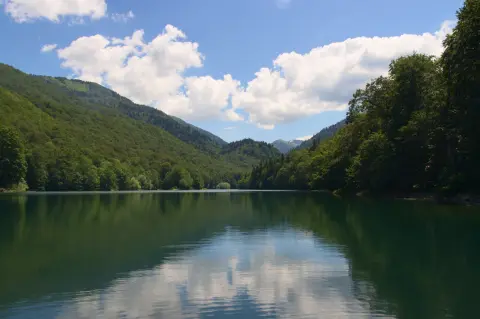
Cycling · Šiško Lake · Biogradska Gora National Park
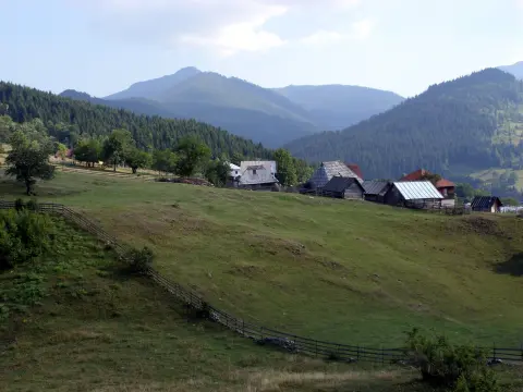
Cycling · Rožaje
Hiking
Hiking · Berane
Cycling · Rožaje
Hiking · Rožaje
Hiking
Hiking · Hridsko Lake · Prokletije National Park
Times and grades are estimates. Conditions change: check the weather and local information before you set out. Map and data sources →

