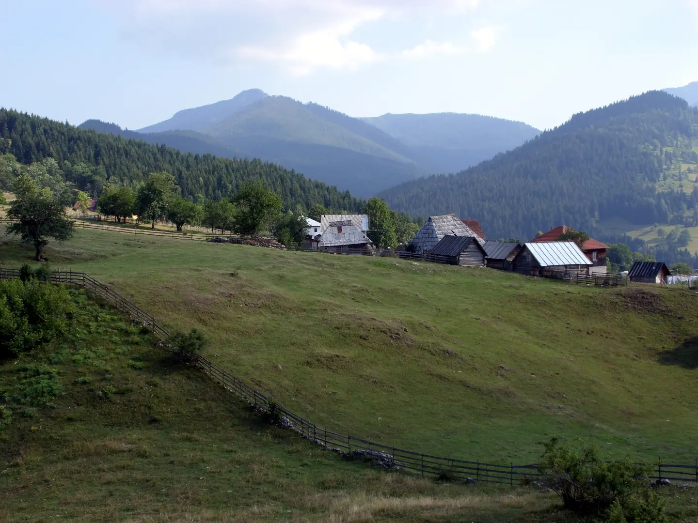
A cycling tour across high alpine pastures between Štedim and Hajla with views of the Montenegrin mountains.
The 37.4 km route follows asphalt and gravel roads from Štedim to Hajla, covering 1,341 m of ascent. The terrain is varied, and the trail offers viewpoints and mountain huts along the way.
The trail starts in the Štedim area at around 1,016 m above sea level and gradually climbs to its highest point at 2,001 m a.s.l. Right at the beginning, about 2.1 km from the start, you reach a viewpoint at 1,988 m a.s.l., and not far from there is a drinking water spring. At 3.6 km you pass a campsite, and at 3.9 km you arrive at the Štedim Mountain Hut at 1,730 m a.s.l. — a good place for a first break.
The middle section of the route descends to lower elevations, where at 18.8 km you find another water source at 1,068 m a.s.l. The terrain alternates between asphalt and concrete surfaces (61%) and dirt and forest sections (35%), which requires solid bike-handling skills.
In the final section the trail gains elevation again. At 27.6 km and 30.0 km there are additional drinking fountains, and at 30.1 km you arrive at the Grope Mountain Hut at 1,891 m a.s.l. The last fountain is at 32.1 km, after which the trail leads to the endpoint near Hajla at 1,548 m a.s.l., with a total descent of 1,548 m.
The trail is rated as moderate and is recommended for experienced recreational cyclists with good physical fitness. The estimated riding time without breaks is 5 h 10 min.
What this difficulty means
Some longer climbs or rougher surfaces. You need regular riding fitness.
Places on this route
Move along the profile to follow the route on the map; switch on 3D for the terrain.
↑ 1,341 m · ↓ 1,548 m · highest point 2,001 m
Along the way
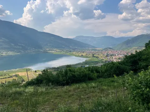
Already at 2.1 km from the start, a wide panorama opens up from one of the highest points on the route.
At 3.9 km and 1,730 m a.s.l. there is a mountain hut — an ideal place to rest at the beginning of the tour.
At 30.1 km and 1,891 m a.s.l. this hut offers a welcome stop for cyclists near the end of the trail.
The trail has five drinking water fountains, spread between 2.3 km and 32.1 km from the start.
A combination of asphalt, concrete and dirt forest sections makes this tour technically interesting and dynamic.
Start early in the morning to make the most of daylight and avoid afternoon thunderstorms at altitude.
Carry enough water, even though there are several drinking fountains on the trail — water availability may vary.
Use a bike with reliable brakes: the 1,548 m descent requires full control, especially on gravel sections.
Dress in layers — the difference in elevation between the lowest and highest points exceeds 980 m, so temperatures can vary considerably.
Since the trail goes in one direction, arrange transport or a second vehicle at the endpoint in advance.
Check the weather forecast: mountain areas above 1,800 m can be foggy and unstable even in the summer months.
The trail passes through elevations above 1,800 m where weather conditions can change rapidly — fog and thunderstorms are possible even in summer. In case of emergency call 112. It is recommended that you do not set out alone and that someone knows your planned schedule.
Emergency number in Montenegro: 112.
Good to know
Best season
The trail is best suited for the period from June to October, when the mountain passes are free of snow and the gravel sections are in good condition. Outside this period, conditions can be unpredictable.
Getting there
The nearest town to the start of the trail is Rožaje, about 7.7 km away. You can reach the starting point in the Štedim area by private transport from Rožaje.
The trail is 37.4 km long and goes in one direction — the start and end are not at the same location.
The estimated duration of the hike without breaks is 5 h 10 min. With rest stops, count on more time.
The trail is rated as moderate, with a total ascent of 1341 m and descent of 1548 m, which requires good physical fitness.
Given that the trail reaches 2001 m above sea level, it is recommended during the period when the mountains are free of snow, most commonly from June to October.
52.1 km↑ 3,118 m3–4 days
24.9 km↑ 1,752 m2–3 days
93.5 km↑ 3,250 m4–5 days

262 km↑ 6,918 m4–5 days
111 km↑ 2,882 m2–3 days
181 km↑ 9,342 m9–12 days
Loop
27.2 km↑ 1,216 m8–11½ h
15.8 km↑ 1,182 m6–8½ h
Times and grades are estimates. Conditions change: check the weather and local information before you set out.

Ask about Montenegro
Ask me about destinations, restaurants or activities.
