A short hiking tour with two viewpoints and a descent to Lepetane.
An easy one-way hiking trail, 2.1 km long. It offers two viewpoints and a descent of 355 m to the Lepetane bus stop.
Trail 757 is an easy one-way hiking trail, 2.1 km long. It starts at higher ground and ends at the 'Lepetane' bus stop, at 2 m a.s.l. The total descent is 355 m, with no ascent.
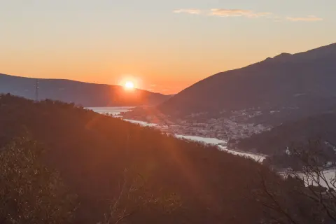
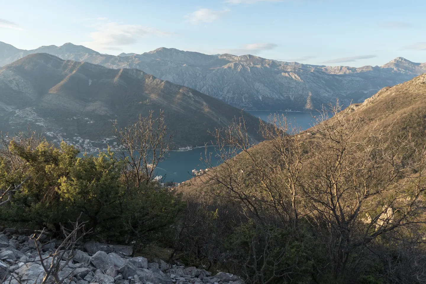
At 0.5 km from the start there is a viewpoint at 274 m a.s.l., and at 0.7 km a viewpoint at 223 m a.s.l. From these points a view of the coastal landscape opens up.
The surface is mixed: 44% rocky terrain, 41% dirt and forest trail, and 15% asphalt or concrete. The highest point of the trail is at 362 m a.s.l., and the lowest at 3 m a.s.l. The estimated walking time without breaks is about 1 hour.
Near the trail are Perast, Bijela and Bijela Beach, and the start of the trail is closest to Markov rt Beach (about 2.8 km). The trail is suitable for recreational hikers and families with a basic level of fitness.
What this difficulty means
Well-made paths with gentle gradients. Fine for families and anyone used to walking a few hours.
Places on this route
Move along the profile to follow the route on the map; switch on 3D for the terrain.
↑ 0 m · ↓ 355 m · highest point 362 m
Along the way
Photos and short clips from points along the route — tap one to open it.
Located 0.5 km from the start of the trail, offering a view from a higher position.
Located 0.7 km from the start of the trail, slightly lower than the first viewpoint.
The end point of the trail at 2 m a.s.l., 2.1 km from the start.
Located near the trail, about 2.5 km away.
Near the trail, about 2.5 km away.
Wear footwear with good grip due to the rocky terrain (44% of the trail).
Bring enough water, especially in the warmer part of the year.
As the trail is one-way, plan your return in advance; there is a bus stop at the end — 'Lepetane'.
Check the weather forecast – the rocky surface can be slippery after rain.
Protect yourself from the sun and wear a cap or hat.
The trail is easy, but due to the rocky terrain you should pay attention to your footing. During the summer months, avoid the hottest part of the day. In an emergency, call 112.
Emergency number in Montenegro: 112.
Good to know
Best season
The altitude is low (3–362 m), so the trail is suitable for most of the year. It is most pleasant in spring and autumn, when there is no summer heat.
Getting there
The start of the trail is closest to Markov rt Beach, about 2.8 km away. The end is at the 'Lepetane' bus stop.
The trail is 2.1 km long and runs in one direction.
The estimated duration is about 1 hour, without breaks.
The trail is easy, but it has a total descent of 355 m and rocky terrain over 44 % of its length.
The highest point is at 362 m above sea level, and the lowest at 3 m above sea level.
3.4 km↑ 291 m1–1½ h
9.5 km↑ 414 m3–4½ h
8.9 km↑ 53 m2–3 h

195 km↑ 3,259 m2–3 days

406 km↑ 10,191 m6–8 days
88.4 km↑ 4,606 m4–6 days
3.3 km↑ 23 m2–2½ h
4.7 km↑ 473 m2–2½ h
Times and grades are estimates. Conditions change: check the weather and local information before you set out.

Ask about Montenegro
Ask me about destinations, restaurants or activities.