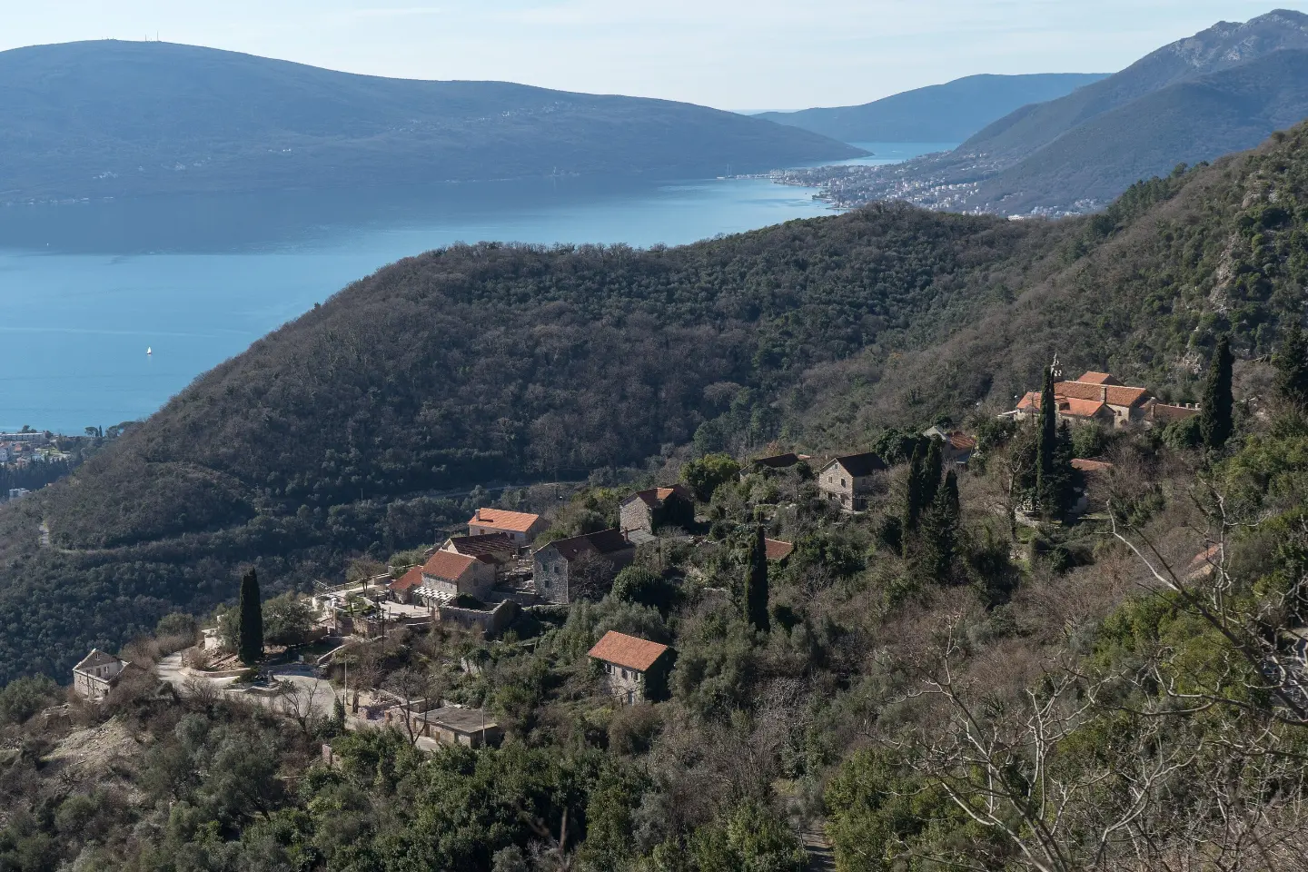
A moderate one-way trail through the wooded areas of Vrmac, with viewpoints, a church and springs.
The hiking trail from Vrmac Fortress via Bogdašići to Gornja Lastva is 9.5 km long. It is of moderate difficulty, with a total ascent of 414 m and descent of 592 m, and passes viewpoints, a church and springs.
The trail starts at Vrmac Fortress and leads via Bogdašići to Gornja Lastva. It is 9.5 km long, with a total ascent of 414 m and a total descent of 592 m. The lowest point is at 68 m above sea level, and the highest at 490 m above sea level.
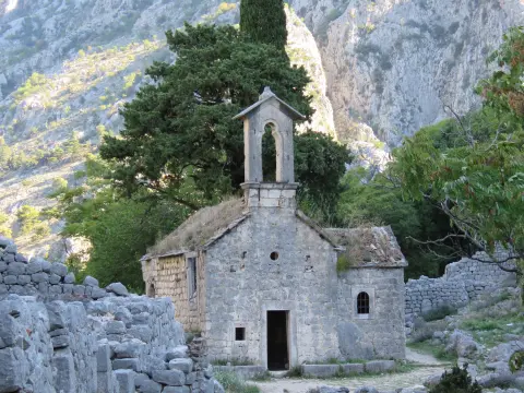
Already 0.1 km from the start there is a viewpoint at 467 m above sea level. At 2.0 km the trail passes by the church/monastery “Tutti Santi” at 278 m above sea level. The surface is mostly earth/forest trail (74%), and the remaining sections are gravel and asphalt/concrete.
At 6.5 km from the start there is a drinking water fountain at 419 m above sea level. At 8.3 km another viewpoint follows at 422 m above sea level, and at 8.5 km a spring at 361 m above sea level. The trail ends in Gornja Lastva.
The tour is of moderate difficulty and takes about 3 h 45 min without breaks. It is suitable for hikers with basic fitness. Since the trail is one-way, plan your return or transport to the end before setting off.
What this difficulty means
Longer or steeper sections and uneven ground. You need basic fitness, sturdy shoes and a little mountain experience.
Places on this route
Move along the profile to follow the route on the map; switch on 3D for the terrain.
↑ 414 m · ↓ 592 m · highest point 490 m
Along the way
It is located just 0.1 km from the start of the trail and offers the first view of the surroundings.
At 2.0 km from the start, at 278 m above sea level, the trail passes by this building.
At 6.5 km from the start, at 419 m above sea level, there is a place to refresh.
At 8.3 km from the start of the trail, the view extends from 422 m above sea level.
At 8.5 km from the start, at 361 m above sea level, the trail passes by a spring.
Wear hiking boots or trainers with deeper tread because the trail is mostly earth/forest.
Bring enough water, even though there is a fountain and a spring on the trail.
Start earlier in the morning, especially in warmer months.
Check the weather forecast before setting off; fog and rain can make walking more difficult.
Since the trail is one-way, arrange transport to the end or a return in advance.
Bring layered clothing and sun protection.
Before setting off, check the weather conditions because fog and rain can reduce visibility and make the trail slippery. The trail is one-way, so arrange transport or a return. In an emergency, call 112.
Emergency number in Montenegro: 112.
Good to know
Best season
The best months for this trail are March, April, May, June, September, October and November. In summer it is warmer on open sections, and in winter the days are shorter.
Getting there
The closest access to the trailhead at Vrmac Fortress is from Dobrota beach, about 1.8 km away. Prčanj and Kotor are also near the trail.
The trail is 9.5 km long.
Estimated duration without breaks is 3 h 45 min.
The difficulty is moderate. Total ascent is 414 m, and total descent is 592 m; the highest point is 490 m above sea level, and the lowest is 68 m above sea level.
No, the trail is one-way, so the start and end are not in the same place.
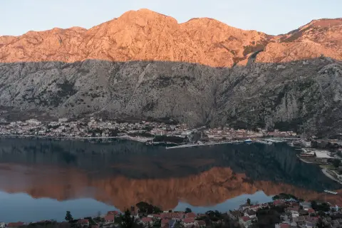
4.7 km↑ 473 m2–2½ h

406 km↑ 10,191 m6–8 days

195 km↑ 3,259 m2–3 days
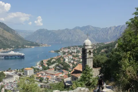
16.1 km↑ 1,418 m6–8 h
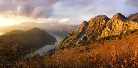
4.8 km↑ 1,074 m4–5½ h
0.4 km↑ 50 m15–20 min
LoopTimes and grades are estimates. Conditions change: check the weather and local information before you set out.

Ask about Montenegro
Ask me about destinations, restaurants or activities.
