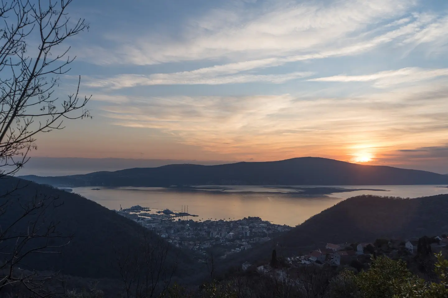
A short and easy hiking tour from Donja Lastva to Gornja Lastva with a total ascent of 291 m.
An easy one-way hiking tour, 3.4 km long, connecting Donja Lastva and Gornja Lastva. The highest point is at 301 m above sea level, and the ascent takes about 1 h 25 min without breaks.
The tour starts in Donja Lastva, not far from Tivat. Near the start of the trail there are two parking areas, at 0.3 km and 0.4 km from the starting point. The trail leads towards Gornja Lastva and is not a loop, so the end point is in a different location.
The total ascent is 291 m, with no descent. The lowest point is at 7 m above sea level, and the highest at 301 m above sea level. The surface is mixed: a dirt or forest path makes up 53%, asphalt or concrete 42%, and gravel road 5%.
The trail length is 3.4 km, and the estimated duration without breaks is 1 h 25 min. The trail is easy and suitable for recreational hikers and families. Nearby are Belane beach, Bijela, and Markov rt beach, so the tour can be combined with exploring the surrounding area.
What this difficulty means
Well-made paths with gentle gradients. Fine for families and anyone used to walking a few hours.
Places on this route
Move along the profile to follow the route on the map; switch on 3D for the terrain.
↑ 291 m · ↓ 0 m · highest point 301 m
Two parking areas are available at 0.3 km and 0.4 km from the start of the trail.
The total ascent is 291 m, and the highest point on the trail is at 301 m above sea level.
The start of the trail is about 1.7 km from Tivat.
Belane beach is about 1.9 km away, and Bijela and Markov rt beach are about 2.4 km from the trail.
Footwear should be comfortable and suited to the mixed surface: asphalt, dirt path and gravel road.
Bring enough water, especially if you plan to return by the same trail.
The trail is one-way, so plan your return or transportation from Gornja Lastva in advance.
Park at one of the two parking areas near the start, at 0.3 km or 0.4 km.
Check the weather forecast before setting off.
The trail is easy, but the 291 m ascent is not negligible, so walk at your own pace. After rain, the dirt sections can be slippery. In case of an emergency, call 112.
Emergency number in Montenegro: 112.
Good to know
Best season
The best months for this trail are January, February, March, April, May, June, September, October, November and December.
Getting there
The easiest way to reach the start of the trail is from Tivat, which is about 1.7 km away. Near the start of the trail there are two parking areas: at 0.3 km and 0.4 km.
The trail is 3.4 km long and runs in one direction.
The estimated duration without breaks is 1 h 25 min.
The trail is easy, with a total ascent of 291 m and no descent. The lowest point is at 7 m a.s.l., and the highest at 301 m a.s.l.
January, February, March, April, May, June, September, October, November and December.
Walking · Tivat
Hiking · Markov rt Beach
Hiking · Dobrota Beach
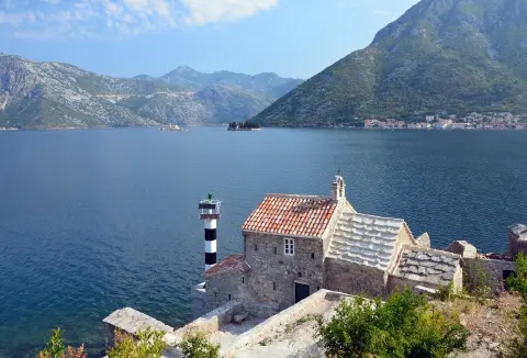
Cycling · Rose, Luštica · Lovćen National Park
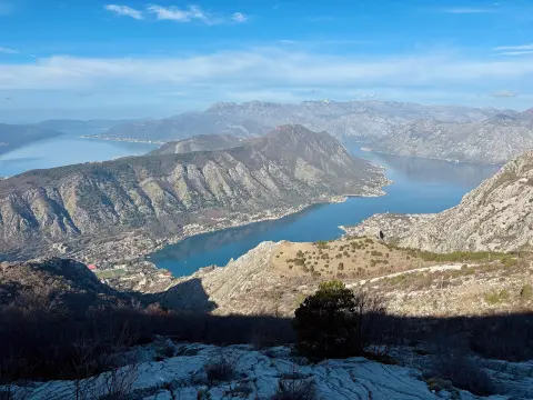
Cycling · Španjola Fortress · Durmitor National Park

Walking · Kumbor Beach
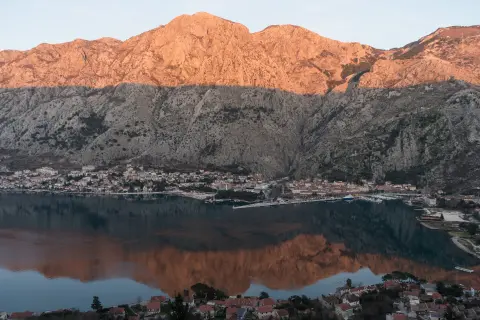
Hiking · Kotor
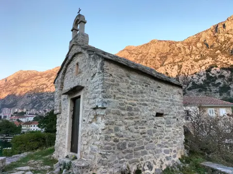
Hiking · Dobrota Beach
Times and grades are estimates. Conditions change: check the weather and local information before you set out. Map and data sources →

