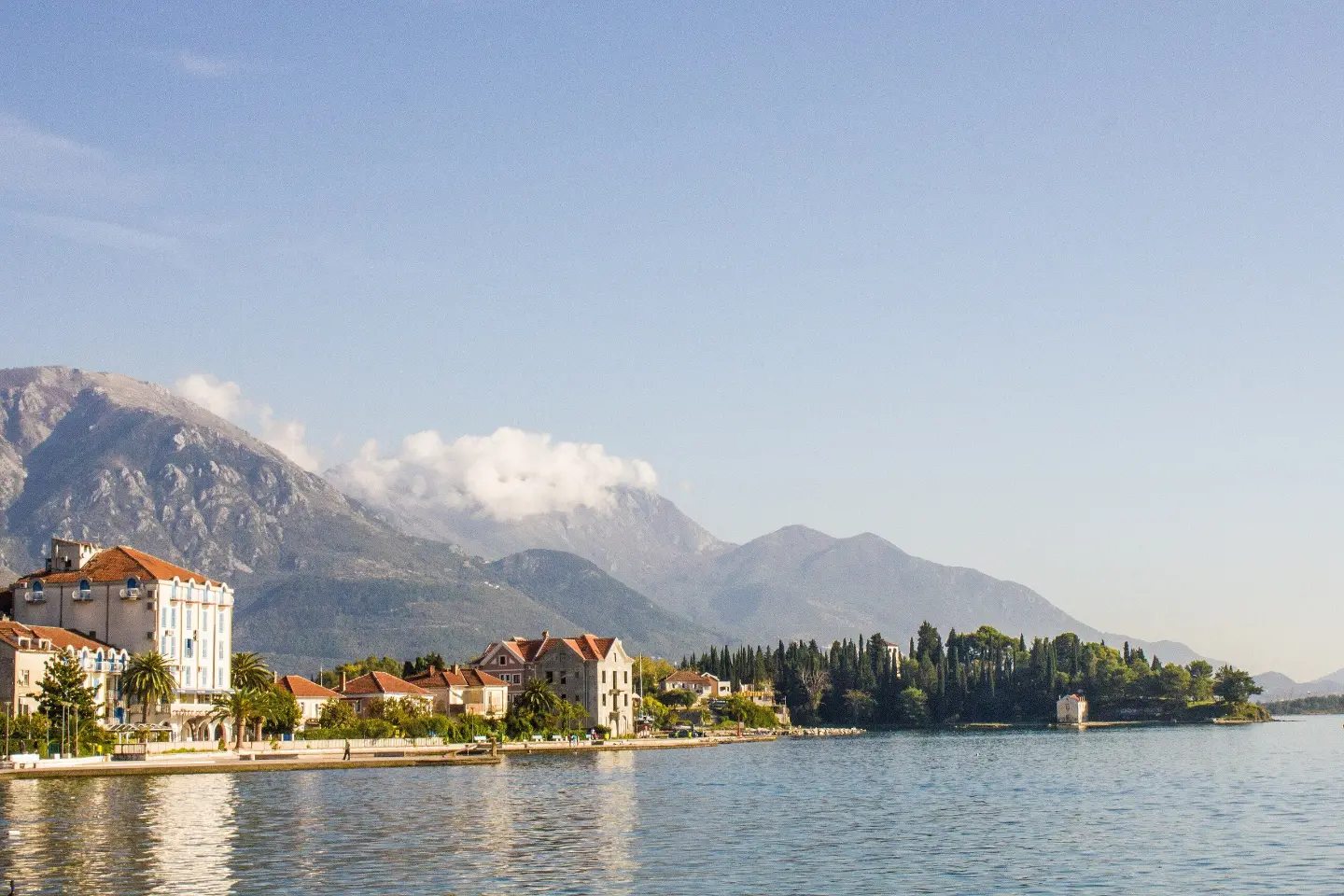
An easy coastal walk from Pine through Seljanovo to Kalardovo, with beaches, a drinking fountain, and the Church of Saint Michael.
An easy walking trail in Tivat, 8.9 km long, with 81% asphalt/concrete surface and a small elevation gain. It passes by Belane beach, Kalardovo beach, a drinking fountain, and the Church of Saint Michael; estimated duration is 2 h 20 min.
The trail starts at the Pine Promenade in Tivat and runs in one direction through Seljanovo to Kalardovo. It is 8.9 km long, with a total ascent of 53 m and a total descent of 48 m. The lowest point is at 0 m a.s.l. and the highest at 33 m a.s.l. Estimated duration without breaks is 2 h 20 min.
The terrain is mostly flat and easy: 81% of the surface is asphalt/concrete and 19% is dirt/forest trail. The trail passes directly by Belane beach and close to Kalardovo beach. At 3.0 km from the start there is the church/monastery of Saint Michael, and at 3.1 km a fountain with drinking water.
The walk is easy and suitable for everyone who wants a relaxed tour of the Tivat coastline. Due to the small elevation difference, the trail is good for both families and recreational walkers. In the vicinity of the trail, within 10 km, are Bijela, Bijela beach, and Plavi Horizonti.
What this difficulty means
Well-made paths with gentle gradients. Fine for families and anyone used to walking a few hours.
Move along the profile to follow the route on the map; switch on 3D for the terrain.
↑ 53 m · ↓ 48 m · highest point 33 m
Along the way
The trail passes directly by Belane beach.
At 3.0 km from the start, at 8 m a.s.l., the trail passes by the church/monastery of Saint Michael.
At 3.1 km from the start there is a fountain with drinking water, at 6 m a.s.l.
The trail passes close to Kalardovo beach, approximately 0.1 km from the trail.
Wear comfortable walking shoes as most of the trail is asphalt/concrete.
Bring enough water; a fountain with drinking water is located approximately 3.1 km from the start.
Protect yourself from the sun, especially in the warmer months near the beaches.
Plan your departure according to the weather forecast before setting out.
Allow approximately 2 h 20 min of walking without breaks; add extra time for sightseeing stops.
The trail is easy and mostly well-maintained. Monitor weather conditions and seek a safe shelter in the event of bad weather. For emergencies call 112.
Emergency number in Montenegro: 112.
Good to know
Best season
The best months for walking are January, February, March, April, May, June, September, October, November, and December.
Getting there
The easiest way to reach the start of the trail is from Tivat; Tivat is approximately 1.5 km from the start of the trail.
The trail is 8.9 km long.
The estimated duration without breaks is 2 h 20 min.
The trail is easy, with a total ascent of 53 m and a total descent of 48 m. The highest point is 33 m above sea level.
The best months are January, February, March, April, May, June, September, October, November and December.
3.4 km↑ 291 m1–1½ h
2.1 km50–70 min

195 km↑ 3,259 m2–3 days
9.5 km↑ 414 m3–4½ h
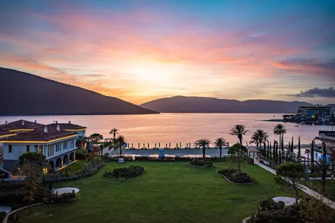
4.6 km↑ 18 m65–90 min

406 km↑ 10,191 m6–8 days
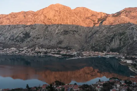
4.7 km↑ 473 m2–2½ h
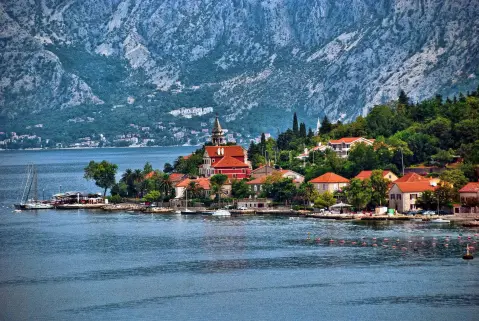
4.7 km↑ 799 m3–4 h
Times and grades are estimates. Conditions change: check the weather and local information before you set out.

Ask about Montenegro
Ask me about destinations, restaurants or activities.
