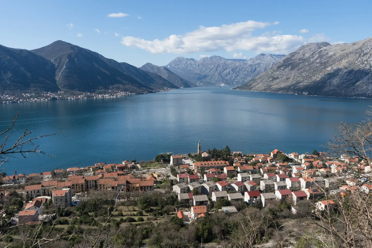
An easy hiking trail in one direction through forested terrain with a long descent.
Trail 747 is an easy hiking trail with a length of 3.3 km. The highest point is at 862 m a.s.l., the lowest at 14 m a.s.l., and the total descent is 843 m. Duration without breaks is approximately 2 h 10 min.
Trail 747 is an easy one-way hiking trail, 3.3 km long. The highest point is at 862 m a.s.l., and the lowest is at 14 m a.s.l. The total ascent is 23 m, while the total descent is 843 m. The estimated walking time without breaks is 2 h 10 min.
The terrain is mostly dirt and forest – such sections make up 92% of the trail. The trail is marked with red-and-white markings, making it easy to follow. The end of the trail is at the Dobrota bus stop, at 13 m a.s.l.
Nearby the trail you will find Dobrota, Prčanj, Orahovac beach and Markov rt beach. The start of the trail is about 1.6 km from Orahovac beach. Due to the predominantly descending nature of the trail, bring enough water and wear comfortable footwear. The trail is suitable for everyone who wants a shorter walking section with minimal ascent.
What this difficulty means
Well-made paths with gentle gradients. Fine for families and anyone used to walking a few hours.
Places on this route
Move along the profile to follow the route on the map; switch on 3D for the terrain.
↑ 23 m · ↓ 843 m · highest point 862 m
Along the way
The end point of the trail at 13 m a.s.l.
The closest beach to the start of the trail, about 1.6 km away.
Settlements near the trail at a distance of about 1.0 km and 2.9 km.
Another nearby beach, about 2.6 km from the trail.
Bring enough water, especially in warmer months.
Wear comfortable hiking footwear due to the long descent.
Since the trail is one-way, plan your return journey or transport from the end point.
Check the weather forecast before setting off; after rain the dirt section can be slippery.
If you plan to go in summer, set off earlier.
Although the trail is easy, account for a descent of 843 m – wear shoes with good soles and use trekking poles if needed. On dirt surfaces, conditions can be slippery after rain. In case of bad weather, monitor the forecast; the emergency number in Montenegro is 112.
Emergency number in Montenegro: 112.
Good to know
Best season
Spring and autumn are the most pleasant seasons for this trail due to moderate temperatures. In summer the lower part of the trail is warm, so set off earlier.
Getting there
The closest landmark to the start of the trail is Orahovac beach, located about 1.6 km away. For public transport to Orahovac beach, check current local bus lines.
It is 3.3 km long and goes in one direction.
Without breaks, approximately 2 h 10 min.
It is easy, but has a total descent of 843 m and only 23 m of ascent.
Yes, the trail is marked with red and white markers.
88.4 km↑ 4,606 m4–6 days

406 km↑ 10,191 m6–8 days

195 km↑ 3,259 m2–3 days
4.7 km↑ 799 m3–4 h
17.3 km↑ 578 m5–7 h
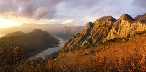
4.8 km↑ 1,074 m4–5½ h
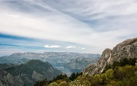
1.4 km↑ 93 m30–40 min
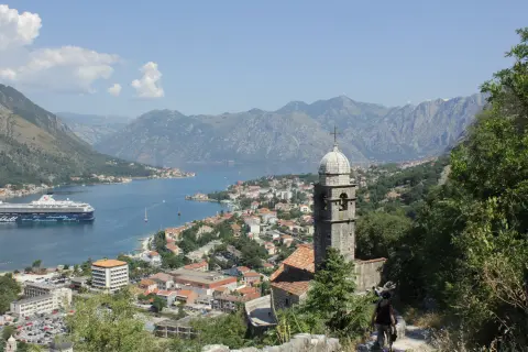
16.1 km↑ 1,418 m6–8 h
Times and grades are estimates. Conditions change: check the weather and local information before you set out.

Ask about Montenegro
Ask me about destinations, restaurants or activities.
