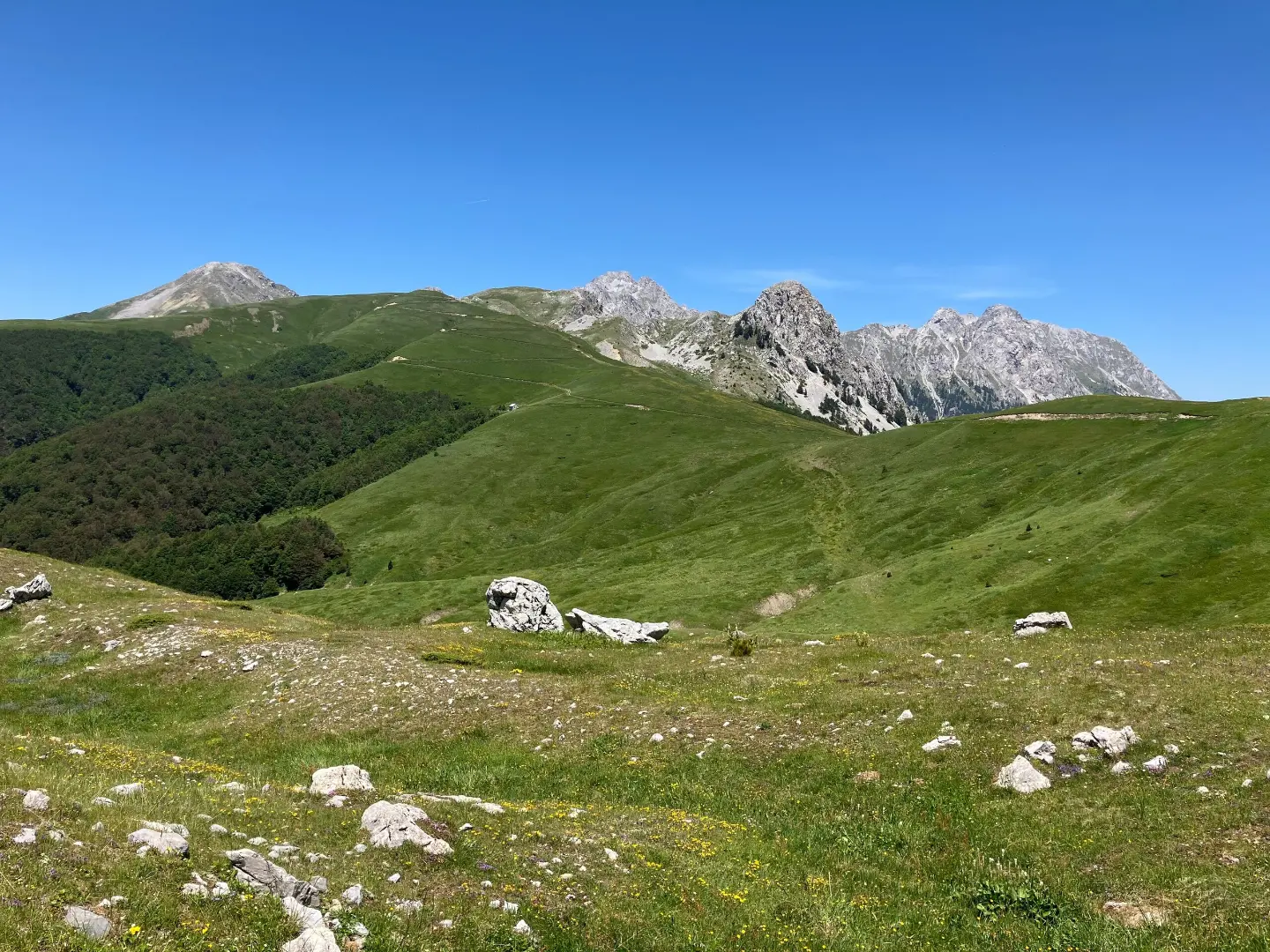
Demanding one-way hiking tour of 18.3 km, with 931 m elevation gain and water points along the trail.
Demanding hiking tour of 18.3 km with total elevation gain of 931 m and descent of 538 m. The trail starts near Rikavačko jezero and leads through mountainous terrain at altitudes from 1260 m to 1792 m.
The trail starts near Rikavačko jezero, about 0.9 km from the starting point. Near the route, at about 3.7 km, lies Bukumirsko jezero. At 0.6 km from the start there is a drinking water tap at 1394 m a.s.l., and at 3.4 km a spring at 1767 m a.s.l. The lowest point of the trail is at 1260 m a.s.l., and the highest at 1792 m a.s.l.
The tour length is 18.3 km, with total elevation gain of 931 m and descent of 538 m. The surface is mostly macadam (80%), and the rest asphalt or concrete (20%). In the final section, at 15.4 km from the start, there is a tap at 1640 m a.s.l., and at 16.4 km a tap “Izvor Bijela voda” at 1664 m a.s.l.
The trail is demanding and is hiked in one direction. Estimated walking time without breaks is 6 h 40 min. Due to the elevation difference and length, it is intended for hikers with good fitness and basic hiking experience.
What this difficulty means
Steep, rocky or exposed passages and a long day out. For fit, sure-footed hikers with mountain experience.
Places on this route
Move along the profile to follow the route on the map; switch on 3D for the terrain.
↑ 931 m · ↓ 538 m · highest point 1,792 m
Along the way
The nearest place to the trailhead, about 0.9 km from the starting point.
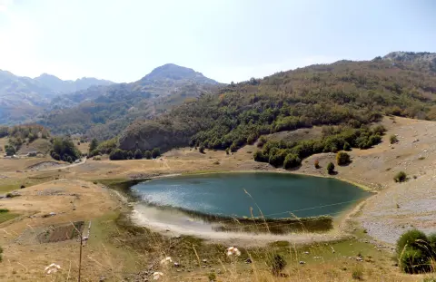
Lake near the trail, about 3.7 km from the route.
Drinking water at 0.6 km from the start of the trail.
Natural spring at 3.4 km from the start of the trail.
Drinking water at 1664 m a.s.l., at 16.4 km from the start.
Bring enough water even though there are taps and springs along the trail.
Start early because the tour without breaks lasts about 6 h 40 min.
Wear layered clothing and sturdy footwear; most of the surface is macadam.
Check the weather forecast; at 1792 m a.s.l. conditions change quickly.
Arrange transport from the end of the trail in advance because the tour is one-way.
Bring a charged phone and an external battery; the signal may be weak.
The trail is demanding and leads to altitudes up to 1792 m a.s.l. In the mountains, sudden weather changes, fog, and thunderstorms are possible. In case of an accident, call 112.
Emergency number in Montenegro: 112.
Good to know
Best season
The best period for this tour is from late spring to early autumn, when the trails are usually passable and without snow. On the highest sections, snow can remain until late spring.
Getting there
The nearest place to the trailhead is Rikavačko jezero, about 0.9 km away.
The length of the trail is 18.3 km.
Estimated walking duration without breaks is 6 h 40 min.
The trail is demanding, with a total ascent of 931 m and descent of 538 m.
Yes, at 0,6 km, 3,4 km, 15,4 km and 16,4 km from the start there are drinking fountains or springs.

413 km↑ 8,566 m5–8 days

143 km↑ 5,436 m6–9 days
14.4 km↑ 735 m5–7½ h
3.3 km↑ 103 m55–80 min
2.5 km↑ 304 m1½–2 h
30.9 km↑ 2,722 m2–3 days
15.8 km↑ 740 m5–7 h
5.0 km↑ 56 m2–2½ h
Times and grades are estimates. Conditions change: check the weather and local information before you set out.

Ask about Montenegro
Ask me about destinations, restaurants or activities.
