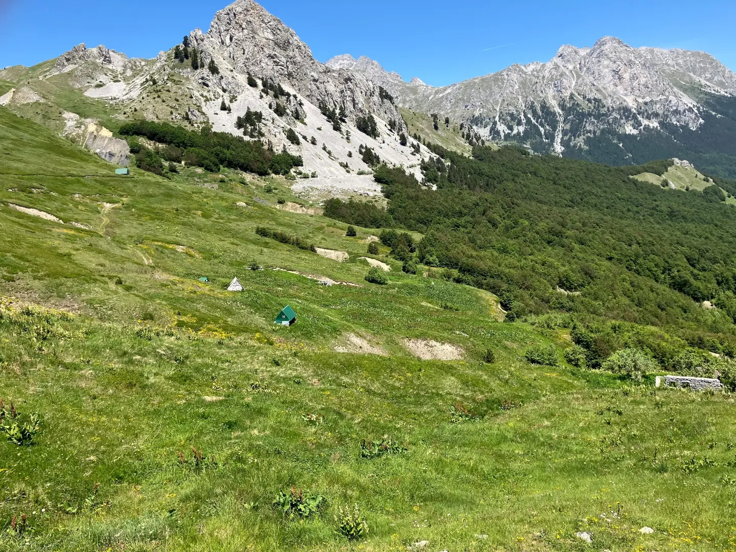
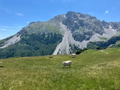
A short and easy hike with the peak Kapuran, the Slapovi waterfalls, and the Mojan spring.
An easy hiking tour from Mojan via Kapuran to Carine: 2.5 km, ascent 304 m, Slapovi waterfalls, peak Kapuran, and the Mojan spring.
The hike starts at Mojan and leads via Kapuran to Carine. The trail is one-way and 2.5 km long. The total ascent is 304 m and the descent 80 m. The lowest point is at 1591 m a.s.l. and the highest at 1845 m a.s.l.
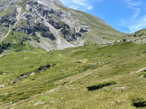
The surface is entirely a dirt/forest trail. At 0.6 km from the start is the peak Kapuran (1684 m a.s.l.). At 1.9 km and 2.3 km from the start are the Slapovi waterfalls, at 1787 m a.s.l. and 1822 m a.s.l. At 2.4 km is the Mojan spring, a drinking water fountain at 1837 m a.s.l.
On our scale, the hike is easy and takes about 1 h 30 min without breaks. It is suitable for beginners and family outings. The trail is marked. Near the trail are Rikavačko jezero (about 8.7 km) and Bukumirsko jezero (about 9.0 km).
What this difficulty means
Well-made paths with gentle gradients. Fine for families and anyone used to walking a few hours.
Places on this route
Move along the profile to follow the route on the map; switch on 3D for the terrain.
↑ 304 m · ↓ 80 m · highest point 1,845 m
Along the way
Located 0.6 km from the start of the trail, in the initial section of the hike.
Two waterfalls: at 1.9 km (1787 m a.s.l.) and at 2.3 km (1822 m a.s.l.) from the start.
A drinking water fountain 2.4 km from the start, at 1837 m a.s.l.
Bring enough water; at 2.4 km from the start there is the Mojan spring with drinking water.
Dress in layers and bring protection from the sun and wind.
Wear hiking boots with a sole that grips well on dirt/forest terrain.
Check the weather forecast before setting off; afternoon thunderstorms are common in the mountains.
Set off early so you can finish the hike before dark.
In mountain conditions, weather can change quickly; check the forecast before setting off. In case of fog or thunder, move away from exposed areas and turn back if necessary. For emergencies, call 112.
Emergency number in Montenegro: 112.
Good to know
Best season
The best months for this hike are June, July, August, September, and October.
Getting there
The trail starts at Mojan and ends at Carine. The trail is not a loop and goes in one direction.
The trail is 2.5 km long and goes in one direction.
The estimated duration without breaks is 1 h 30 min.
It is easy. The total ascent is 304 m, the descent 80 m, and the surface is 100% dirt/forest trail.
The best months are June, July, August, September, and October.

Hiking · Crno Jezero · Durmitor National Park
Hiking · Rikavačko jezero
Hiking
Hiking · Bukumirsko jezero
Hiking

Hiking
Hiking
Hiking
Times and grades are estimates. Conditions change: check the weather and local information before you set out. Map and data sources →

