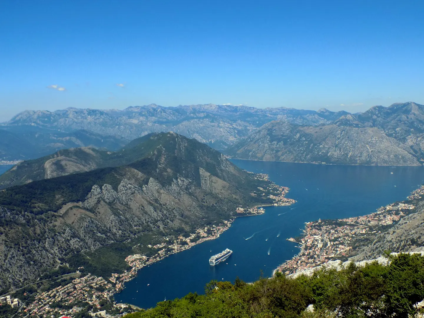
Old road Kotor – Njeguši: 25 serpentines from the bay to Krstac pass
The old road from Kotor to Njeguši climbs through 25 serpentines along the Lovćen slopes to Krstac Pass (about 940 m), with viewpoints over the Bay of Kotor and Tivat Bay. It is part of the panoramic route “Sea and Heights” and regional road R-1, and can be driven by car and bicycle, with a lot of caution.
Kotor serpentines are the old road from Kotor to Njeguši, today part of regional road R-1 and the panoramic route “Sea and Heights” (route 3). Along this road, residents of mountain villages once carried products to the Kotor market, and for a long time it was the only connection between the continental part of Montenegro and the sea. The road from Cetinje to the sea was designed at the end of the 19th century, at the request of Prince Nikola, by engineer Josip Slade. The section Krstac (Njeguši) – Cetinje, the first carriage road in Montenegro, was built from 1879 to 1881. It is said that Slade was secretly in love with Princess Milena, so on one section he designed curves in the shape of the letter M.
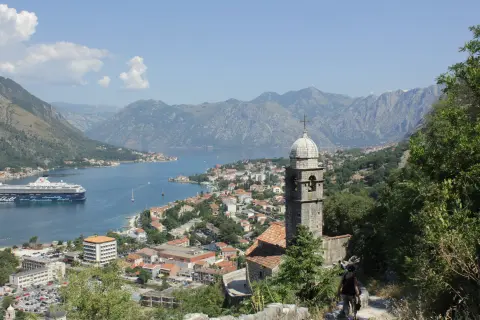
The route starts in Kotor, at the intersection in Škaljari, and climbs to Trojica, from where a series of serpentines starts along the Lovćen slopes. On the side facing Kotor, the road has 25 serpentines, bordered by stone parapets, with passing places and viewpoints over the Bay of Kotor and Tivat Bay. On the section between Kotor and the Trojica intersection there are curves that from the air look like the letter M.
The road exits at Krstac Pass (about 940 m), the Lovćen crossroads of roads to Njeguši, Trojica and Ivanova Korita; from here regional road R-25 leads through Lovćen National Park to the Njegoš Mausoleum. From Krstac the route descends to Njeguši, the birthplace of the Petrović dynasty, known for Njeguši prosciutto, cheese, grape brandy and honey.
For cyclists, montenegro.travel recommends the route around the Bay of Kotor with the goal at Njeguši as one of the favourites. The road is paved but narrow, and only for small campers, so both drivers and cyclists should drive carefully.
Route: © OpenStreetMap contributors (ODbL).
What this difficulty means
Some longer climbs or rougher surfaces. You need regular riding fitness.
Move along the profile to follow the route on the map; switch on 3D for the terrain.
↑ 978 m · ↓ 160 m · highest point 948 m
On the section between Kotor and the Trojica intersection, the road makes curves that from the air look like the letter M. According to legend, they are dedicated to Princess Milena.
A series of bends along the Lovćen slopes, bordered by stone parapets, with passing places for vehicles.
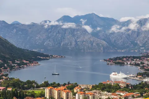
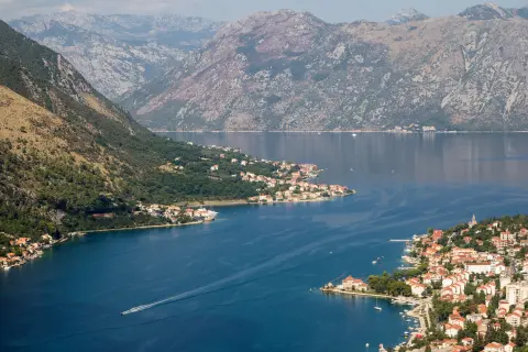
From the viewpoints on the road, the view extends to the Bay of Kotor and Kotor, and from others to Tivat Bay.
Intersection at about 940 m: roads to Njeguši, Trojica and Ivanova Korita, and regional road R-25 through Lovćen National Park to the Njegoš Mausoleum.
Village at the end of the route, birthplace of the Petrović dynasty, known for Njeguši prosciutto, cheese, grape brandy and honey.
Drive slowly and when meeting use the passing places.
The road is only for small campers.
In summer a ban for buses and campers in the direction Njeguši → Kotor is sometimes introduced – check the current decision before departure.
At Krstac you can turn towards Lovćen and the Njegoš Mausoleum (R-25).
The road is narrow and winding, so driving the serpentines requires caution; when meeting vehicles use the passing places.
Emergency number in Montenegro: 112.
Good to know
Best season
Sources do not mention seasonal closure of the road; in summer a ban for buses and campers in the direction Njeguši → Kotor is sometimes introduced, check.
Getting there
The route starts in Kotor, at the intersection of the Adriatic Highway (M-1) and regional road R-1 in Škaljari. Njeguši can also be reached from Cetinje, via road R-1 over Čekanje.
On the side facing Kotor, the road has 25 serpentines, between Trojica and Krstac Pass.
The panoramic roads brochure states that the road is only for small campers. In summer a ban for buses and campers in the direction Njeguši → Kotor is sometimes introduced, so check the current regime.
The road from Cetinje to the sea was designed at the end of the 19th century by engineer Josip Slade, commissioned by Prince Nikola. The Krstac–Cetinje section was built from 1879 to 1881.
Yes – montenegro.travel lists the route around the Bay of Kotor with the destination in Njeguši as one of the favorite cycling routes. The road is narrow, so caution is required.
Cycling · Španjola Fortress · Durmitor National Park
Cycling · Rose, Luštica · Lovćen National Park
Hiking · Kotor
Climbing · Kotor
Hiking · Kotor
Climbing · St. John's Fortress
Hiking · St. John's Fortress
Hiking · Dobrota Beach · Lovćen National Park
Times and grades are estimates. Conditions change: check the weather and local information before you set out. Map and data sources →

