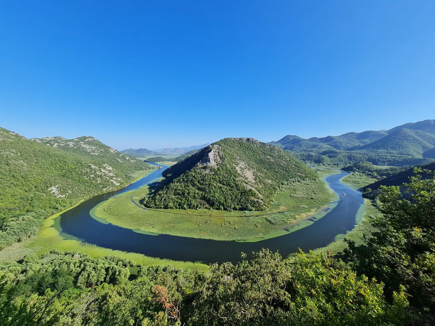
Podgorica – Virpazar – Rijeka Crnojevića – Pavlova strana: circular route along the old road
A circular route from Podgorica: via the main road to Virpazar, then along the old, narrow road through the villages above Lake Skadar to Rijeka Crnojevića, and back via Pavlova strana along the Cetinje – Podgorica main road. The old road is alternative route 3b of the “Sea and Heights” panoramic road and part of cycling routes TT5 and EuroVelo 8.
montenegro.travel recommends this circular route as one of its favourite cycling routes from Podgorica, and the section of the old road is also alternative route 3b of the “Sea and Heights” panoramic road. From Podgorica, take the M-2 main road through Golubovci and the embankment near Vranjina to Virpazar, a place known for the “Wine and Bleak Days” festival in December.
At Virpazar, the old road to Rijeka Crnojevića begins, about 24 km long. Above Virpazar it climbs through three hairpin bends, and a little higher a narrow path leads to an old stone threshing floor – a viewpoint overlooking Virpazar, the lake and Rumija. The road then passes through Kruševica and Komarno (about 235 m) and continues towards Riječani and Lipovik. About 8.5 km before Rijeka Crnojevića, a road branches off for Čukovići, from where a rocky path descends in about 40 minutes through Mlinovi to the fishing village of Poseljani, where 14 watermills once operated.
Rijeka Crnojevića was the capital of Ivan Crnojević at the end of the 15th century; the river is navigable from its very first kilometre, so the place was long a trading centre of the lake. From the town, the road climbs to the Pavlova strana viewpoint, above the famous meander (horseshoe) of the river, and via Rvaši reaches the M-10 main road, along which the route returns to Podgorica.
The old road is paved, but narrow and winding, with a 7-tonne weight limit; traffic is very light. In places it is so narrow that when two vehicles meet, one must reverse, so it is not suitable for campervans longer than 7 m or wider than 2.3 m. The section is part of the national cycling route “Stories by the Water” (TT5) and the EuroVelo 8 route.
Route: © OpenStreetMap contributors (ODbL).
What this difficulty means
Long distances, big climbs or technical sections. For fit, experienced riders.
Move along the profile to follow the route on the map; switch on 3D for the terrain.
↑ 792 m · ↓ 791 m · highest point 243 m
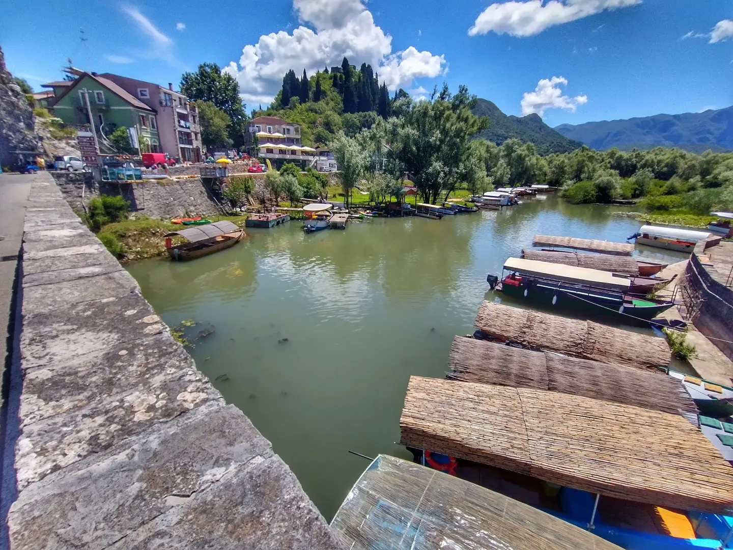
A place on the lake known for the “Wine and Bleak Days” festival in December; here the old road to Rijeka Crnojevića begins.
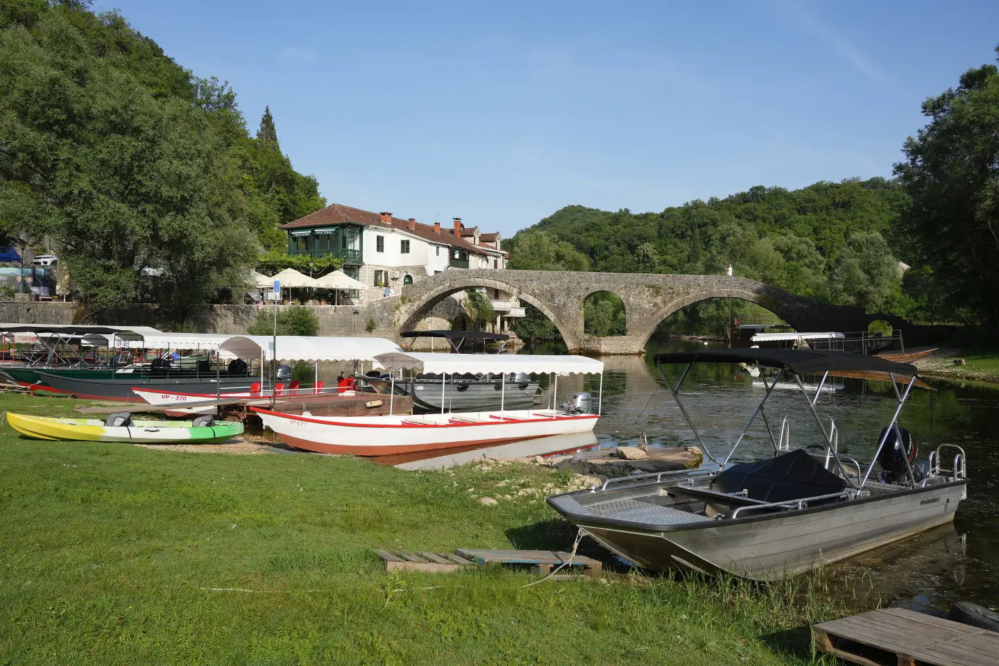
The capital of Ivan Crnojević from the end of the 15th century; the river is navigable from its very first kilometre.
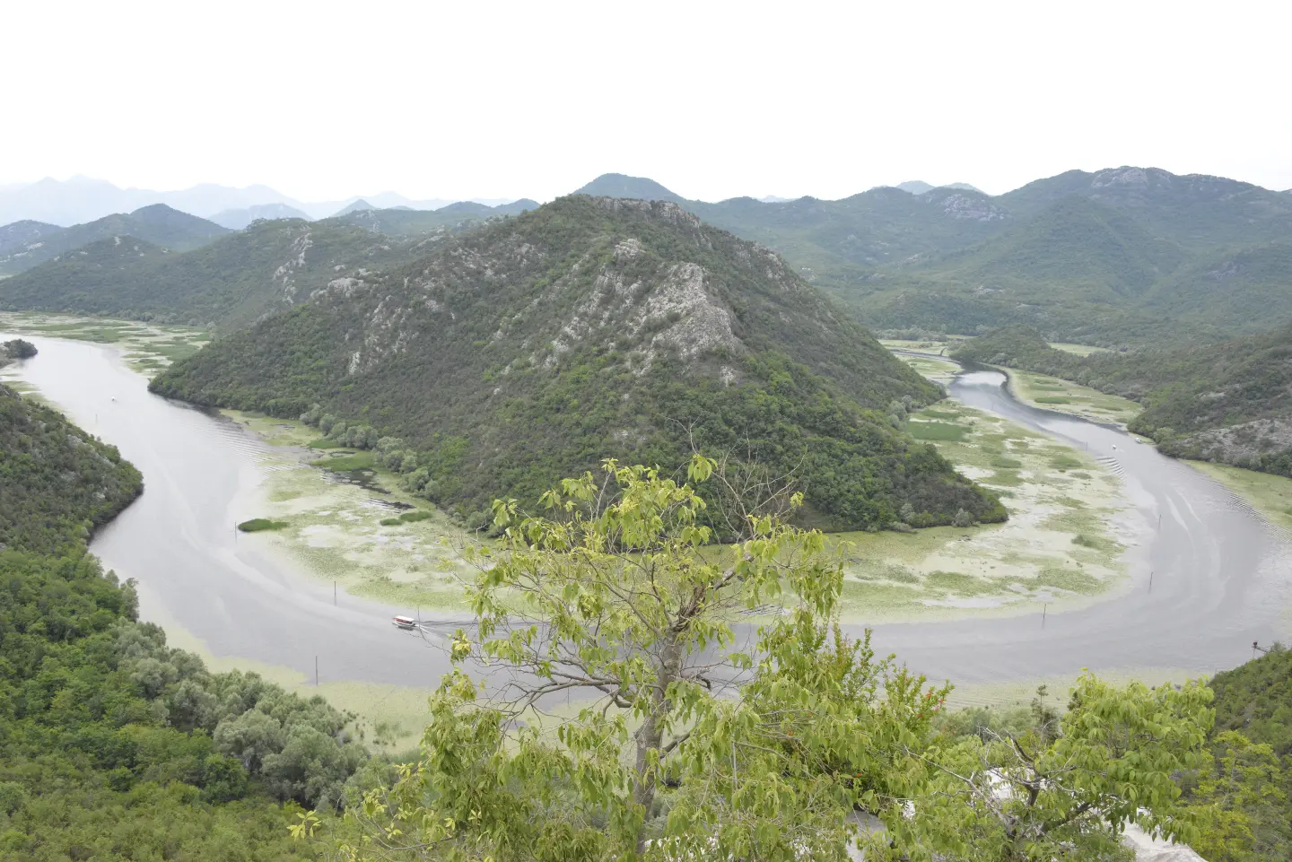
A viewpoint above the meander of the Rijeka Crnojevića, on the road from the town towards Rvaši and the Cetinje – Podgorica main road.
An old stone threshing floor above the hairpin bends, with a view of Virpazar, the lake and Rumija.
A village on the old road, at about 235 m above sea level.
A fishing village on the shore, reached from the turn-off for Čukovići by a rocky path descending for about 40 minutes; 14 watermills once operated there.
The old road is narrow, winding and has a 7 t weight limit – not suitable for large campervans.
Wear sturdy footwear for the descent to Poseljani – the path from Čukovići is rocky.
The return goes along the Cetinje – Podgorica main road (M-10), without entering Cetinje.
The old road is narrow and winding; traffic is light, but when vehicles meet, it is sometimes necessary to reverse.
Emergency number in Montenegro: 112.
Good to know
Getting there
The start and finish are in Podgorica; the M-2 main road leads to Virpazar via Golubovci and the embankment near Vranjina. The old road can also be driven only from Virpazar to Rijeka Crnojevića.
About 24 km. The entire circular route starts and ends in Podgorica.
Yes, but the road is narrow and winding, with a 7 t weight limit, so when vehicles meet, it is sometimes necessary to reverse. It is not suitable for campervans longer than 7 m or wider than 2.3 m.
Above the Crnojević River, on the road from the village towards Rvaši and the Cetinje – Podgorica main road, by which the route returns to Podgorica.
The old road is part of the national cycling trail “Stories by the Water” (TT5) and the EuroVelo 8 route, and montenegro.travel recommends the entire loop from Podgorica as one of the favorite routes.
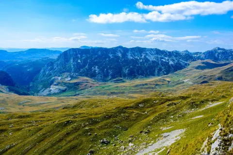
Cycling · Riblje jezero · Durmitor National Park
Hiking · Podgorica
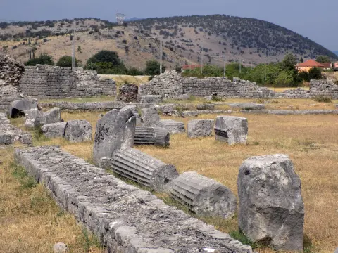
Hiking · Podgorica
Hiking · Podgorica
Walking · Podgorica
Climbing · Podgorica
Hiking · Podgorica
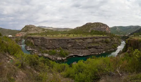
Climbing · Podgorica
Times and grades are estimates. Conditions change: check the weather and local information before you set out. Map and data sources →

