Travel to Montenegro
Bay of Kotor by car: a loop from Kotor via the ferry and Perast
Free audio guide

Bay of Kotor by carA loop from Kotor via the ferry and Perast

Free self-guided audio drive around the bay, no app needed

  • Free · no app needed
  • 2 languagesME · EN
  • Easy walk
by car
240 min
route
⁨44.4 km⁩
stops
13
of audio
17 min
Overview

An audio guide for driving around the Bay of Kotor: from Kotor through Muo, Prčanj and Stoliv to the ferry at Lepetane, across the Verige strait to Kostanjica, Morinj and Risan with its Roman mosaics, then via Perast, Orahovac, Ljuta and Dobrota back to Kotor. Thirteen stops, about forty-five kilometres, with an optional detour to Porto Montenegro in Tivat. Each story starts by itself before you reach the place.

How it works

  1. Download, then press start

    Save the tour over Wi-Fi before you set off – mountain roads lose signal. Choose “Driving” and connect the phone to the car or use headphones.

  2. Drive at your own pace

    Each stop starts by itself as you approach it. If one is still playing, the next waits until it ends – nothing is cut off.

  3. Hands on the wheel

    Big buttons, the screen stays on, and the steering-wheel or headphone buttons play, pause and skip.

Route

The drive on the map

The tour starts at Kotor, car park by the Sea Gate. Tap a number to play that stop.

Stop by stop

13 stops on the way

Listen, or read the full narration of every stop below.

Before you start

Welcome

Welcome. This is the Travel to Montenegro audio guide for a drive around the Bay of Kotor. The loop starts and ends in Kotor. It is about forty-five kilometres long, or about fifty-five if you call in at Tivat. There are thirteen stops. Without stopping, the drive takes about an hour and a half. With a walk in Perast and the ferry, allow half a day. We drive clockwise: through Prčanj to the ferry at Lepetane, then back through Risan, Perast and Dobrota. That way the sea is on your right almost all the way, and it is easier to pull in safely at a lay-by on the shore. Each story starts by itself a few hundred metres before the place. While you drive, leave the phone alone and let your passenger handle it. Have five euros ready for the ferry, per car. From Kotor, take the shore road towards Prčanj. Enjoy the drive.
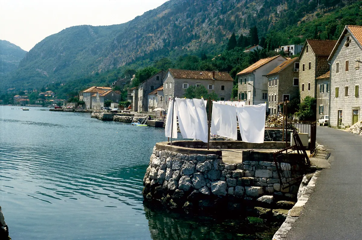
  1. Muo: fishermen and Blessed Gracija1
    Stop 11:19

    Muo: fishermen and Blessed Gracija

    You are entering Muo, an old fishing village at the foot of Vrmac, across the water from Kotor. The name comes from the word mul, meaning a landing place. While neighbouring Prčanj and Dobrota lived from big ships, people here lived from fishing and from the boats that ferried passengers across the bay. Muo is also the birthplace of Blessed Gracija. He was born here in fourteen thirty-eight. As a young man he fished and sailed, and later he joined the Augustinian order. He died in Venice in fifteen-oh-eight, and the Church declared him blessed. In eighteen ten his body was brought back to Muo by ship. The villagers built him a new church, dedicated to Our Lady Help of Christians, and consecrated it in eighteen sixty-four. Blessed Gracija still lies there, in a silver sarcophagus. At the end of the nineteenth century the Zvonimir singing society was founded in Muo. In nineteen-oh-seven a fish-canning factory opened here, giving work to both the men and the women of the village. The road through Muo is narrow, so take it slowly. If you want to visit the church, park only where it is allowed. Your passenger can look across the water: opposite you are the walls of Kotor and St John's Fortress.

    On to the next stop (⁨2.2 km⁩): Carry on along the shore road towards Prčanj, about three kilometres.

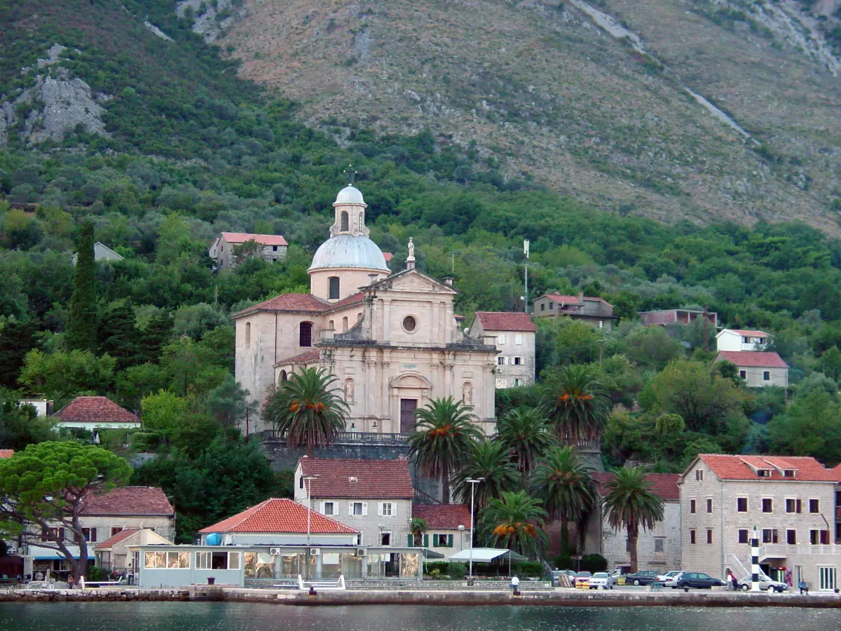
  2. Prčanj: the Church of Our Lady and Captain Visin2
    Stop 21:29

    Prčanj: the Church of Our Lady and Captain Visin

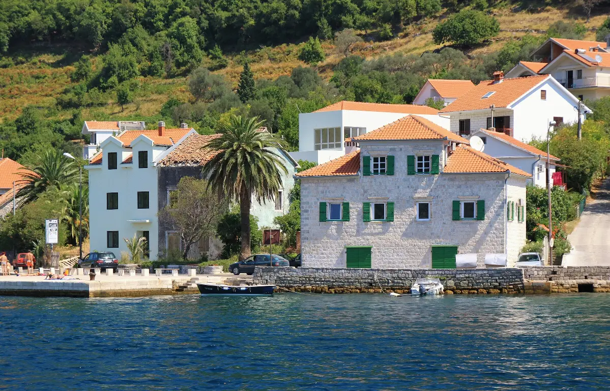
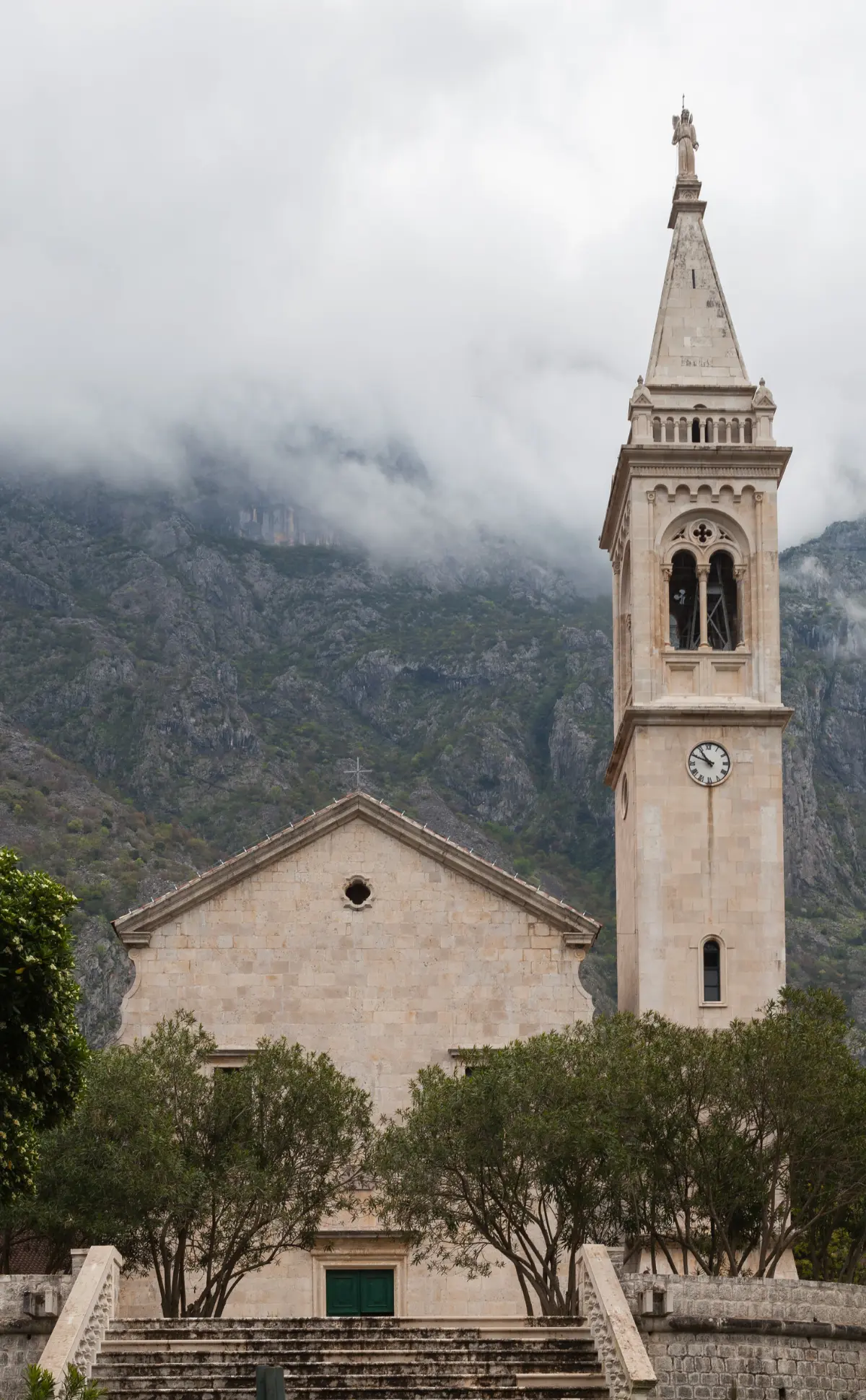
    Ahead of you is Prčanj. Above the roofs, on the slope of Vrmac, rises the great Church of the Nativity of the Virgin Mary. It is the largest Catholic church in the Bay of Kotor. It was designed by the Venetian architect Bernardino Maccaruzzi. Building began in seventeen eighty-nine and was only finished in nineteen-oh-nine, after a long pause. The shipowners of Prčanj pledged half of their profits and shipped white stone from the island of Korčula free of charge. Where did a small village find that kind of money? Prčanj was a place of seafarers. At the end of the sixteenth century the Venetian authorities noticed that sailors from Prčanj reached Venice faster than the state's own ships, so they were given the state mail service. The stone houses of captains' families still line the shore, separated by gardens and olive groves. Captain Ivo Visin came from Prčanj too. Between eighteen fifty-two and eighteen fifty-nine he sailed around the world in the sailing ship Splendido, with a crew of eleven. The flag of honour he received for it is kept in Prčanj, and his bust stands by the church. On the main road is also the Tre Sorelle palace, the Three Sisters. Legend says that three sisters loved the same man, a captain from Herceg Novi. The legend is now protected as intangible cultural heritage. A wide stone staircase leads up to the church from the waterfront. In summer parking along the shore is scarce, so morning is the best time.

    On to the next stop (⁨3.8 km⁩): Carry on along the shore towards Stoliv and Lepetane, about five kilometres.

  3. Stoliv: camellias and a village in the chestnut wood3
    Stop 31:08

    Stoliv: camellias and a village in the chestnut wood

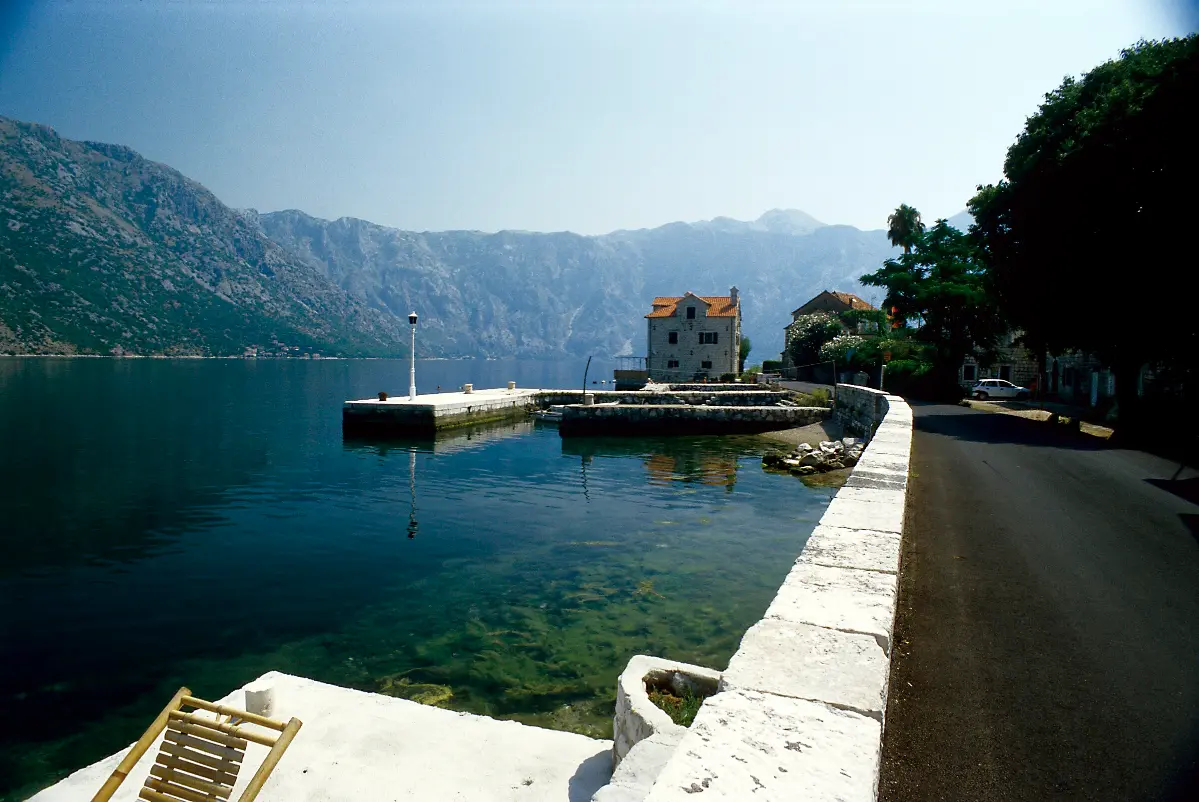
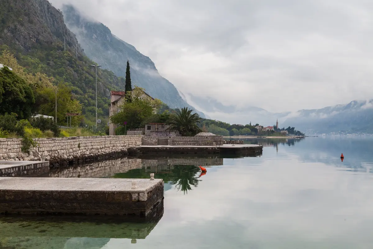
    You are driving through Stoliv. The village has two parts. Donji Stoliv lies by the sea, and Gornji Stoliv is high above you, in a chestnut wood, two hundred to two hundred and forty metres above sea level. An old stone path leads up to it. Only about twenty people live up there today, and the Church of St Elias towers over the village. In the seventeenth and eighteenth centuries people moved down to the shore, to a new village. In seventeen twenty-one Donji Stoliv was granted the status of a maritime settlement, and, as in Prčanj, captains and sailors lived here. According to local tradition, it was seafarers who brought camellias from the Far East. They like the mild climate, and every spring Stoliv holds a camellia festival, with a flower show, concerts and a ball. On the point in Donji Stoliv stands the small Church of St Basil, with frescoes from the end of the fifteenth century. They show saints of the Eastern and Western churches, with inscriptions in both Cyrillic and Latin script. Across the water, on the opposite shore, is Perast. We will get there in the second half of the tour.

    On to the next stop (⁨1.7 km⁩): Carry on towards Lepetane, about two kilometres.

  4. Lepetane: Our Lady of the Angels and the ferry4
    Stop 41:17

    Lepetane: Our Lady of the Angels and the ferry

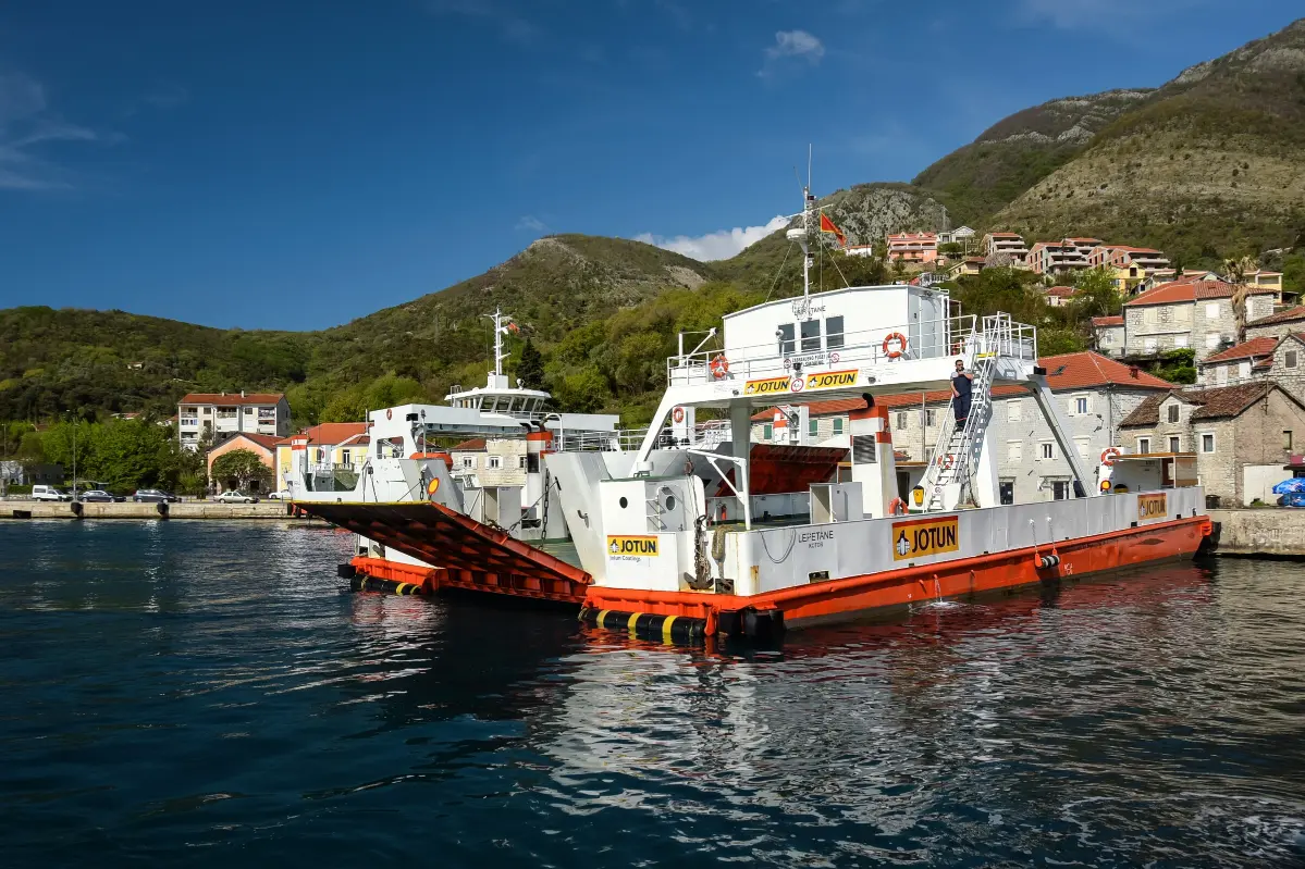
    You are approaching Lepetane and the narrowest part of the bay, the Verige strait. On the headland stands the small fortified Church of Our Lady of the Angels. Two years are carved into its walls, fifteen eighty-five and sixteen fifty-four. They are thought to mark restorations; at that time walls with gun loops were built around the church. Tradition says it was vowed by a seaman whose ship, full of rice, survived a storm. Lepetane is named after the Lepetan family of Perast, who owned land here. Until the middle of the twentieth century a quarry here produced red stone, which paves terraces and squares all around the bay. A little further on is the ferry landing for Kamenari. A ticket for a car costs five euros and is paid before boarding. You can also buy it in advance online. Foot passengers and cyclists travel free. In summer, especially at weekends, the queue can take more than half an hour. Even so, the ferry cuts about twenty kilometres from the drive between Budva and Herceg Novi. If you would like to call in at Tivat and Porto Montenegro, carry straight on past the ferry for about four kilometres. You will come back the same way to the ferry.

    On to the next stop (⁨3.9 km⁩): For the ferry, join the queue at the landing. For Tivat, carry straight on along the main road.

  5. Tivat: from the Arsenal to Porto Montenegro5
    Stop 51:08Optional

    Tivat: from the Arsenal to Porto Montenegro

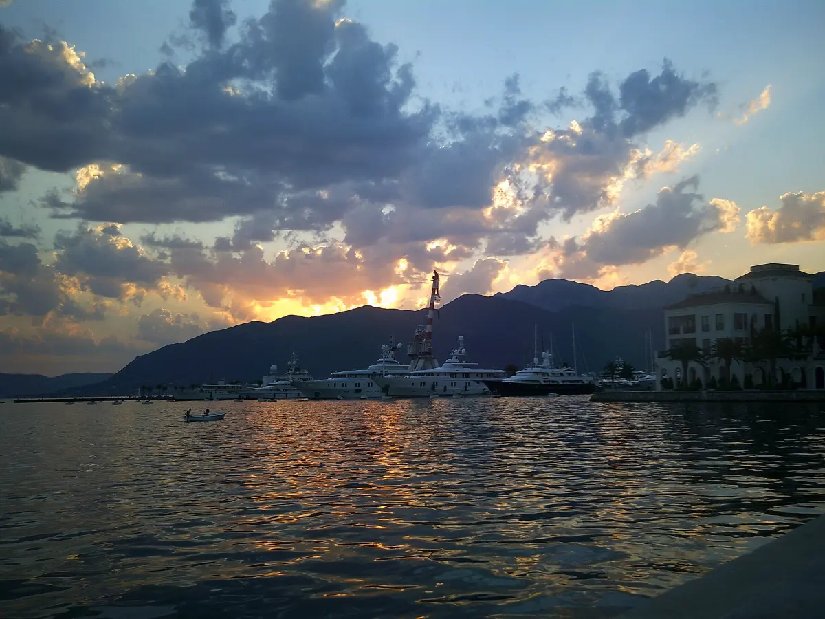
    You are entering Tivat. Ahead of you is Porto Montenegro, a yacht marina. On this site, in eighteen eighty-nine, Austria-Hungary founded the Arsenal, one of the largest naval bases on the Adriatic. Ships and submarines were repaired and fitted out here, first Austro-Hungarian and German ones, later Yugoslav. After the Second World War the yard worked under the name Sava Kovačević. When the navy left, the Arsenal grounds were turned into a marina with flats, restaurants and a promenade. The Arsenal's old sawmill now houses the Naval Heritage Collection, with more than three hundred exhibits. Among them are fittings from Austro-Hungarian ships and old industrial machines from the Arsenal. Next to the collection is the submarine Heroj, once the pride of the Yugoslav navy. If you need a break for coffee or lunch, this is a good place. Parking in Tivat is mostly paid, by zone. When you move on, go back the same way to the ferry at Lepetane. The next story starts when the ferry is halfway across the strait.

    On to the next stop (⁨2.9 km⁩): Go back the same way to the ferry at Lepetane, about four kilometres.

  6. The ferry across the Verige6
    Stop 61:04

    The ferry across the Verige

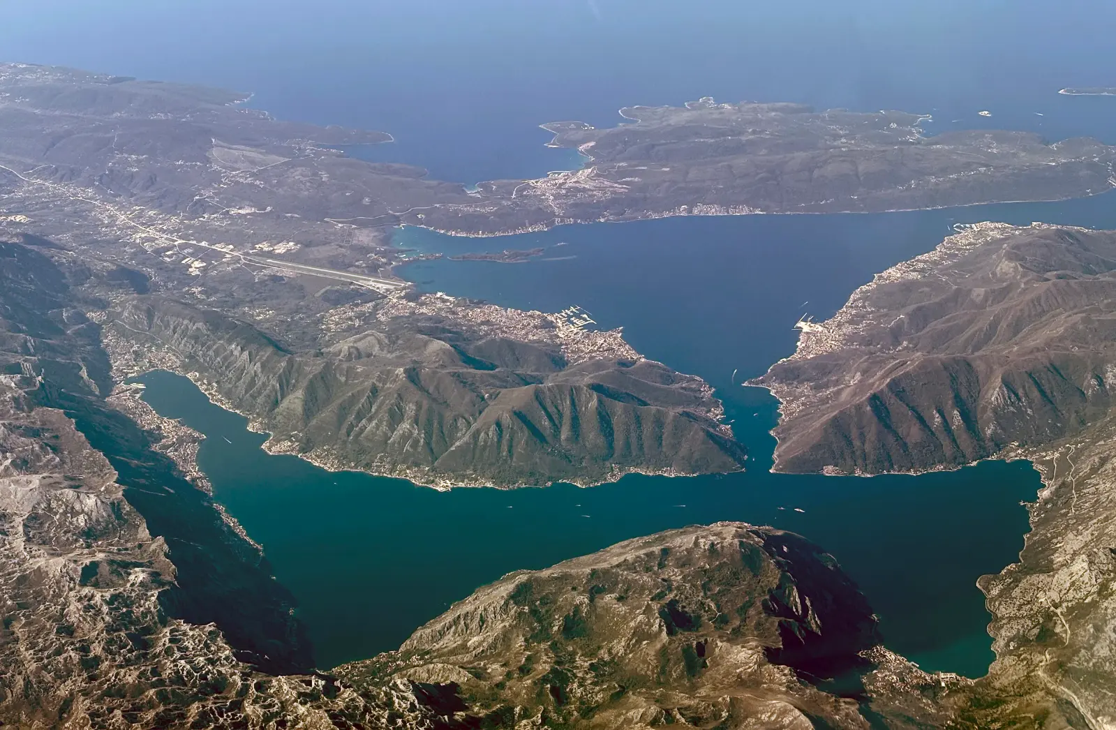
    You are now on the ferry, at the mouth of the Verige, the narrowest part of the Bay of Kotor. The strait is about two point three kilometres long, and at its narrowest it is only about three hundred and forty metres wide. It links the Bay of Tivat with the inner bays of Risan and Kotor, which we will drive around for the rest of the tour. Verige means chains. According to tradition, the strait was once closed with chains stretched from shore to shore, so that enemy ships could not get through to Kotor. Sources disagree on when that was, so take it as a story rather than a date. The ferry line is run by the state company that manages Montenegro's coastline, with a fleet of eight ferries. In summer they sail every fifteen to twenty minutes, day and night. In winter they run every twenty minutes from six in the morning until midnight, and less often at night. Cruise ships heading for Kotor also pass through this strait. To the north, the Verige leads towards Perast. That is our direction too, but by land. On board, follow the crew's instructions.

    On to the next stop (⁨2.1 km⁩): When you drive off the ferry at Kamenari, turn right towards Risan and Kotor.

  7. Kostanjica: a view of the islands off Perast7
    Stop 71:18

    Kostanjica: a view of the islands off Perast

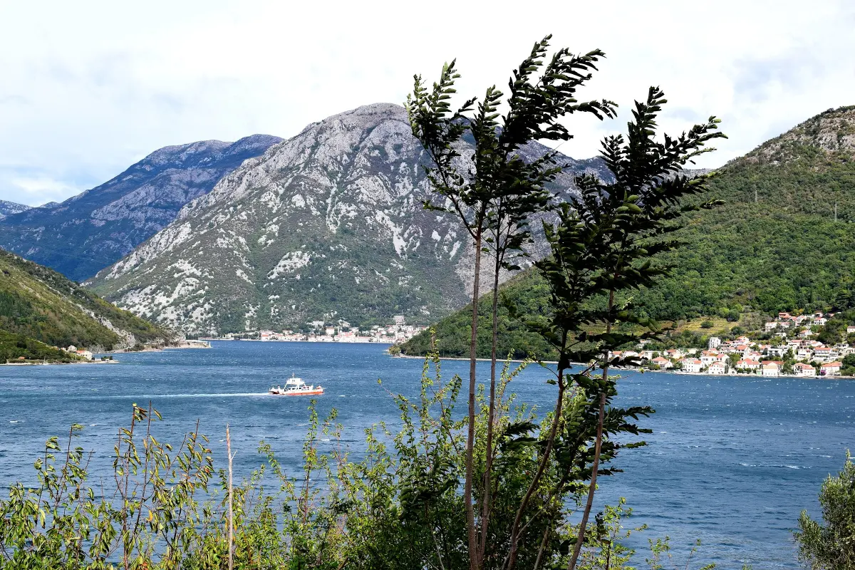
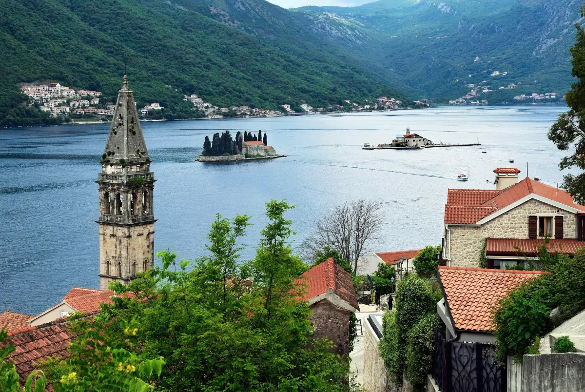
    You are driving along the Verige towards Kostanjica, a small village of about a hundred people. Here the strait ends, and the inner bay opens up in front of you. Leave the view to your passenger. On the water off Perast are two islands. The one with the domed church is Our Lady of the Rocks. It was made by hand. On an underwater reef, called a škrpjel here, the people of Perast spent centuries piling up stones and sinking old ships, until the island was big enough for a church. Tradition says it all began on the twenty-second of July, fourteen fifty-two, when fishermen from Perast found an icon of the Virgin on the reef. The custom is still alive: every year, at dusk on the twenty-second of July, the people of Perast throw stones from their boats around the island. It is called the Fašinada. Inside the church are seafarers' votive gifts, more than two thousand silver plaques and sixty-eight paintings by the Baroque painter Tripo Kokolja. The other island, covered in cypresses, is St George, with an old Benedictine monastery. Behind the islands, on the shore, is Perast. We will get there by driving round the Bay of Risan, in about half an hour. If you want a photo, stop only in a lay-by on the shore, never on a bend or in the middle of the road.

    On to the next stop (⁨1.6 km⁩): Carry on along the main road towards Morinj, about two kilometres.

  8. Morinj: springs, mills and Lipci8
    Stop 81:12

    Morinj: springs, mills and Lipci

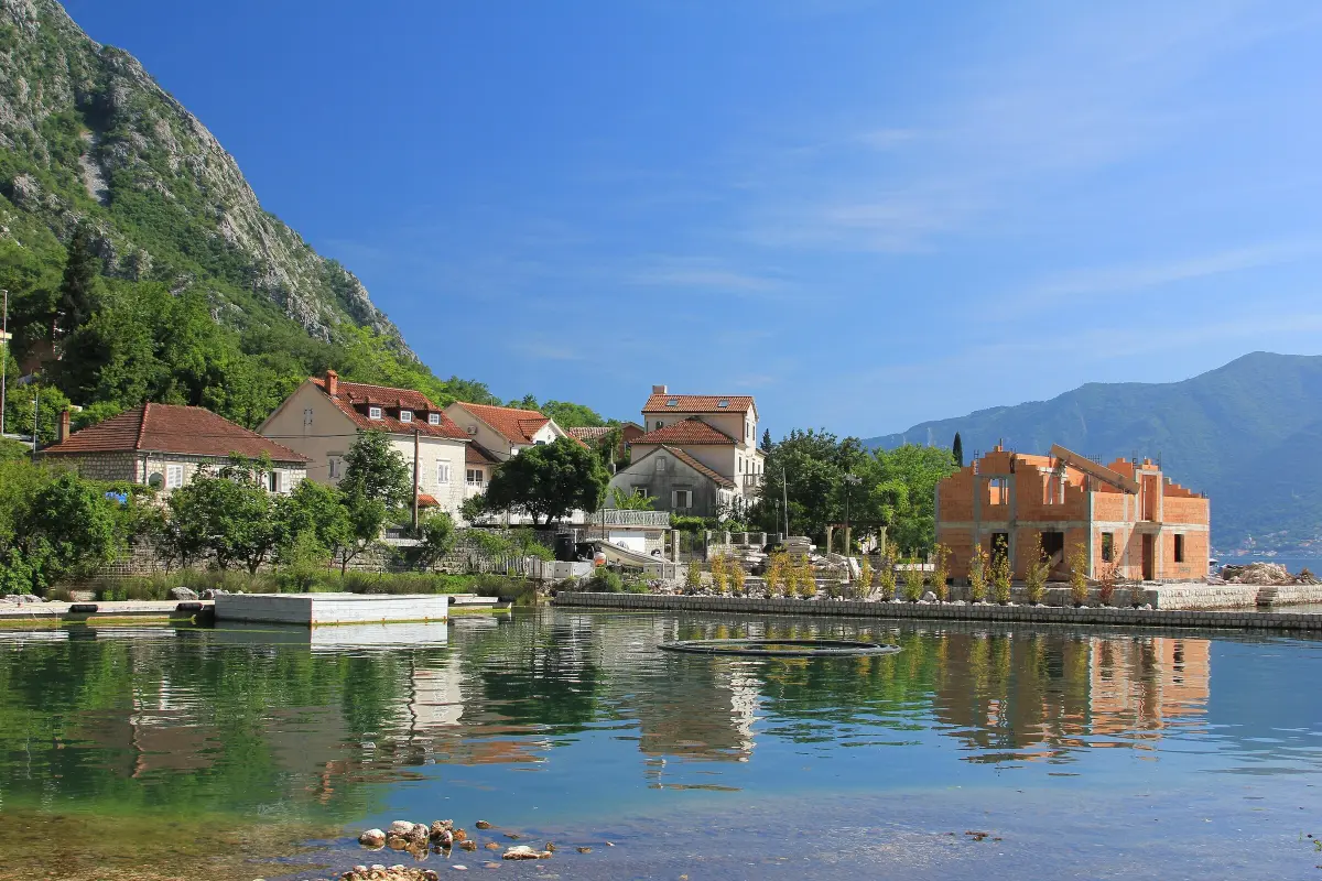
    You are entering Morinj. Many springs rise here from the slopes of Mount Orjen, and streams run through the village to the sea. That is why the sea along this shore is noticeably colder than in the rest of the bay, and very clear. On one of those streams stand the Ćatović mills, old stone mills that have belonged to the Ćatović family for more than two hundred years. Today they house a well-known tavern serving fish and seafood. In summer it is best to book a table. Above the shore is Gornji Morinj, an old stone village reached by a steep cobbled path. Down by the road there is a beach with a car park, if you would like a swim. As you continue towards Risan, you will pass through Lipci. Above that village, under a rock overhang, a prehistoric painting has survived: a hunting scene with deer and riders, painted in white. It is considered the oldest painting of its kind in Montenegro. You reach it on foot, so ask about the path before you set out. Above you is Krivošije, a plateau that is among the rainiest places in Europe. That is why this part of the bay has so much water.

    On to the next stop (⁨4.6 km⁩): Carry on along the main road towards Risan, about six kilometres.

  9. Risan: the oldest town in the bay and Hypnos9
    Stop 91:13

    Risan: the oldest town in the bay and Hypnos

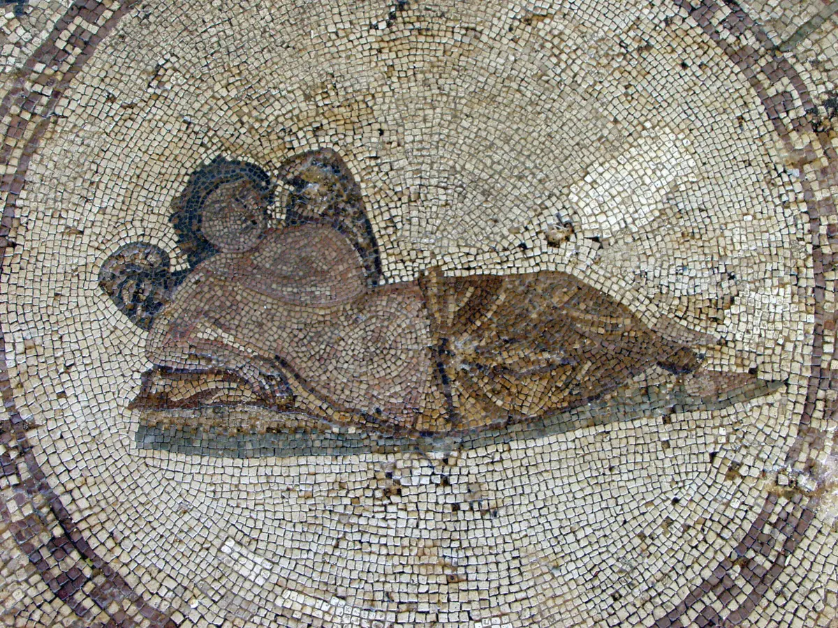
    You are entering Risan, the oldest settlement in the Bay of Kotor. In ancient times it was called Rhizon, a fortified town of the Illyrians. In antiquity the whole bay was named after it. Tradition says that the Illyrian queen Teuta took refuge here from the Roman army, in the third century before Christ. Under Rome the town flourished, especially in the first and second centuries. From that time the floor mosaics of a town villa have survived, from the second century. They are beside the main road, on the way out of town towards Perast, and are signposted as the Roman mosaics. The best-known mosaic shows Hypnos, the Greek god of sleep: a half-naked winged youth, asleep and half reclining, with his legs crossed. It lies in a room thought to have been a bedroom. The other floors are covered with geometric patterns in white, green, blue, red and black. The remains of the villa were discovered in nineteen thirty. The site is small and a visit is short. Check opening hours and the ticket price on site. After heavy rain, the Sopot waterfall bursts out of the rock near Risan, one of the springs that feed this part of the bay.

    On to the next stop (⁨2.9 km⁩): Carry on along the shore towards Perast, about four kilometres.

  10. Perast: a stop for a walk10
    Stop 101:10

    Perast: a stop for a walk

    You are approaching Perast. This is the stop where it is worth getting out of the car. Perast is best seen on foot, so leave the car in one of the car parks at the entrance to the village. Parking is paid, and in summer it fills up quickly. In Venetian times Perast was a town of captains and shipowners. A row of Baroque palaces lines the waterfront, and above the square rises the bell tower of St Nicholas, fifty-five metres high. The people of Perast were the guardians of the bay. In sixteen fifty-four they beat off a large Ottoman attack. Perast still celebrates that victory every fifteenth of May, with a contest called shooting the kokot. Seamanship was taught here too. At the end of the seventeenth century a Perast captain, Marko Martinović, taught navigation to young Russian noblemen sent by Tsar Peter the Great. Boats to Our Lady of the Rocks leave from the waterfront. The trip takes a few minutes; agree the price before you board. For a walk through Perast, Travel to Montenegro has a separate audio guide; you will find it on our website. This guide carries on when you are back behind the wheel.

    On to the next stop (⁨4.8 km⁩): When you move on, follow the shore road towards Kotor. Orahovac is about five kilometres away.

  11. Orahovac: at the head of the Bay of Kotor11
    Stop 111:03

    Orahovac: at the head of the Bay of Kotor

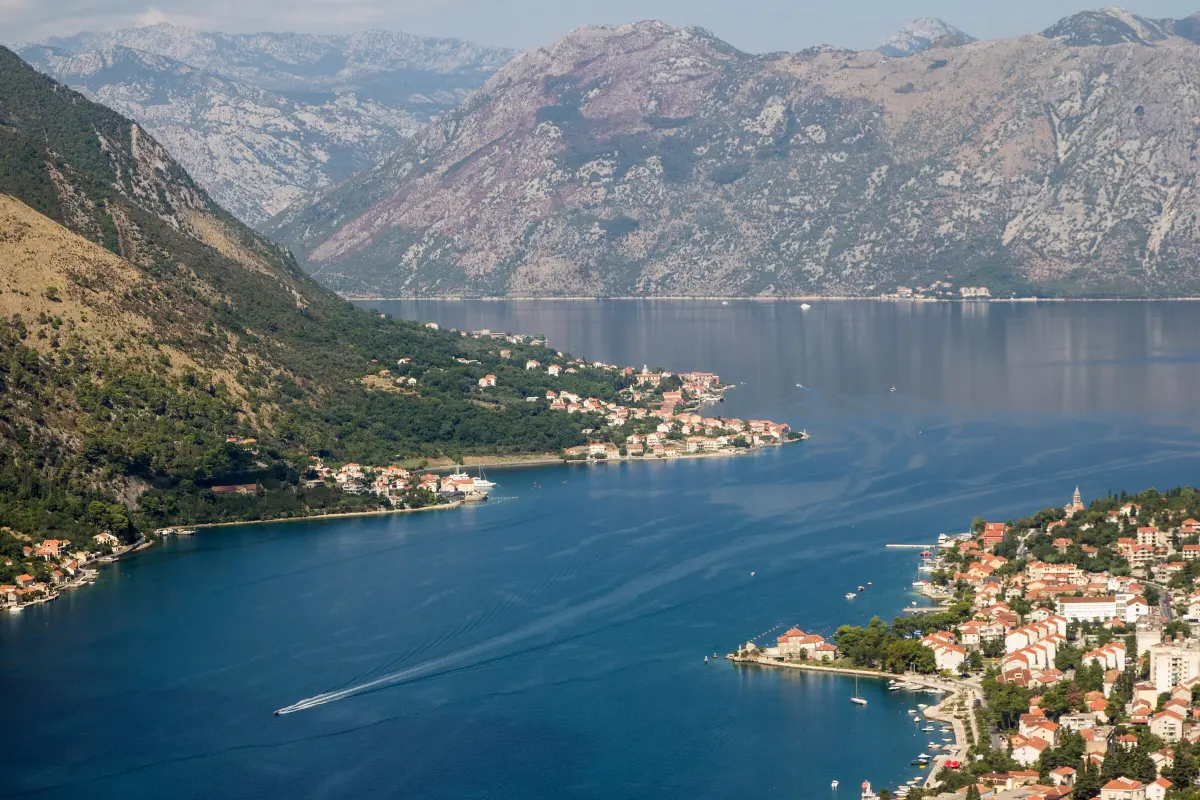
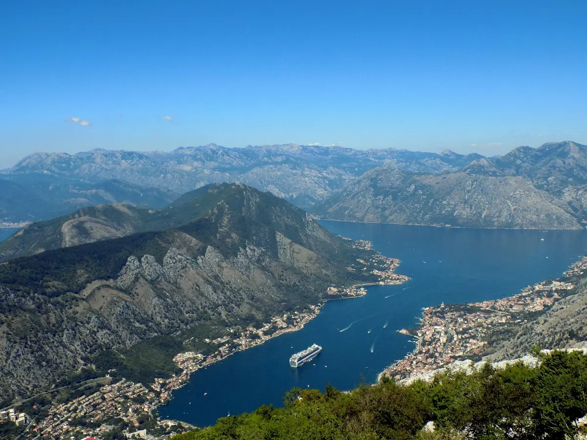
    You are entering Orahovac, at the very northern end of the Bay of Kotor. According to local tradition, it is named after walnuts, orah in the local language, which once grew here in great numbers; villagers carried them to markets along the coast. Orahovac appears in the Kotor archives as early as thirteen ninety-nine. In the early seventeenth century it had eighty houses, and by the middle of the nineteenth century more than a thousand people. From here the view opens down the whole Bay of Kotor. At its far end, below steep cliffs, is Kotor, with the slopes of Lovćen above it. On your right, across the water, is the Vrmac peninsula, with Prčanj and Muo, which you drove through at the start. Above the village are the cliffs of Orahovačke grede. Beneath them rises the Ljuta river, which you will reach in a minute or two. The Ljuta separates Orahovac from Dobrota. Orahovac also has a small beach right by the road. Parking is limited, so in summer stop only where it is allowed.

    On to the next stop (⁨1.1 km⁩): Carry on along the shore for about one kilometre to Ljuta.

  12. Ljuta: the river, the mill and St Peter's Church12
    Stop 120:58

    Ljuta: the river, the mill and St Peter's Church

    This is Ljuta. The river that gave the place its name rises beneath the cliffs and, after a very short course, flows into the sea. Mills once worked on it. One old mill is now the Stari Mlini restaurant, run by the Đurić family. In the middle of the village, on a walled stone terrace by the sea, stands the Baroque Church of St Peter. Building began around seventeen hundred and was finished in seventeen eighty. Local seafarers shipped the stone from Korčula, just as for the great church in Prčanj. The layout of the church recalls Our Lady of the Rocks, which was most likely its model. Two of its altar paintings are by the Venetian painter Fonte Basso. On the north altar is a silver-clad Madonna, especially venerated by the villagers since eighteen fifty-five, after a vow made during a cholera epidemic. Ljuta is where Dobrota begins, a long village of captains' houses that stretches along the shore all the way to Kotor.

    On to the next stop (⁨1.9 km⁩): Carry on along the shore through Dobrota, about two kilometres.

  13. Dobrota: captains' palaces and St Eustace's Church13
    Stop 131:08

    Dobrota: captains' palaces and St Eustace's Church

    You are driving through Dobrota. The village stretches for about seven kilometres, from Ljuta to Kotor. It appears in the Kotor records as early as twelve sixty, and in seventeen seventeen it was granted the status of a maritime settlement. Dobrota was a place of seafarers. In the early nineteenth century it had thirty-five ships and four hundred and forty-three crew members, and it was the leading shipping village in the bay. Power lay with the old Dobrota families: the Radimir, Dabinović, Tripković, Ivanović, Radoničić and Milošević families, among others. Their palaces still stand along the shore, facing the sea. Ahead of you is the Church of St Eustace, with its bell tower. It was built in seventeen seventy-three. It keeps a collection of the famous Dobrota lace from the seventeenth and eighteenth centuries. The Napoleonic wars and the naval blockade ended the golden age of Dobrota's shipping. A promenade still runs along the shore to Kotor, several kilometres long, if you feel like walking it after the drive.

    On to the next stop: Carry straight on along the shore to Kotor, about five kilometres.

At the end

Farewell

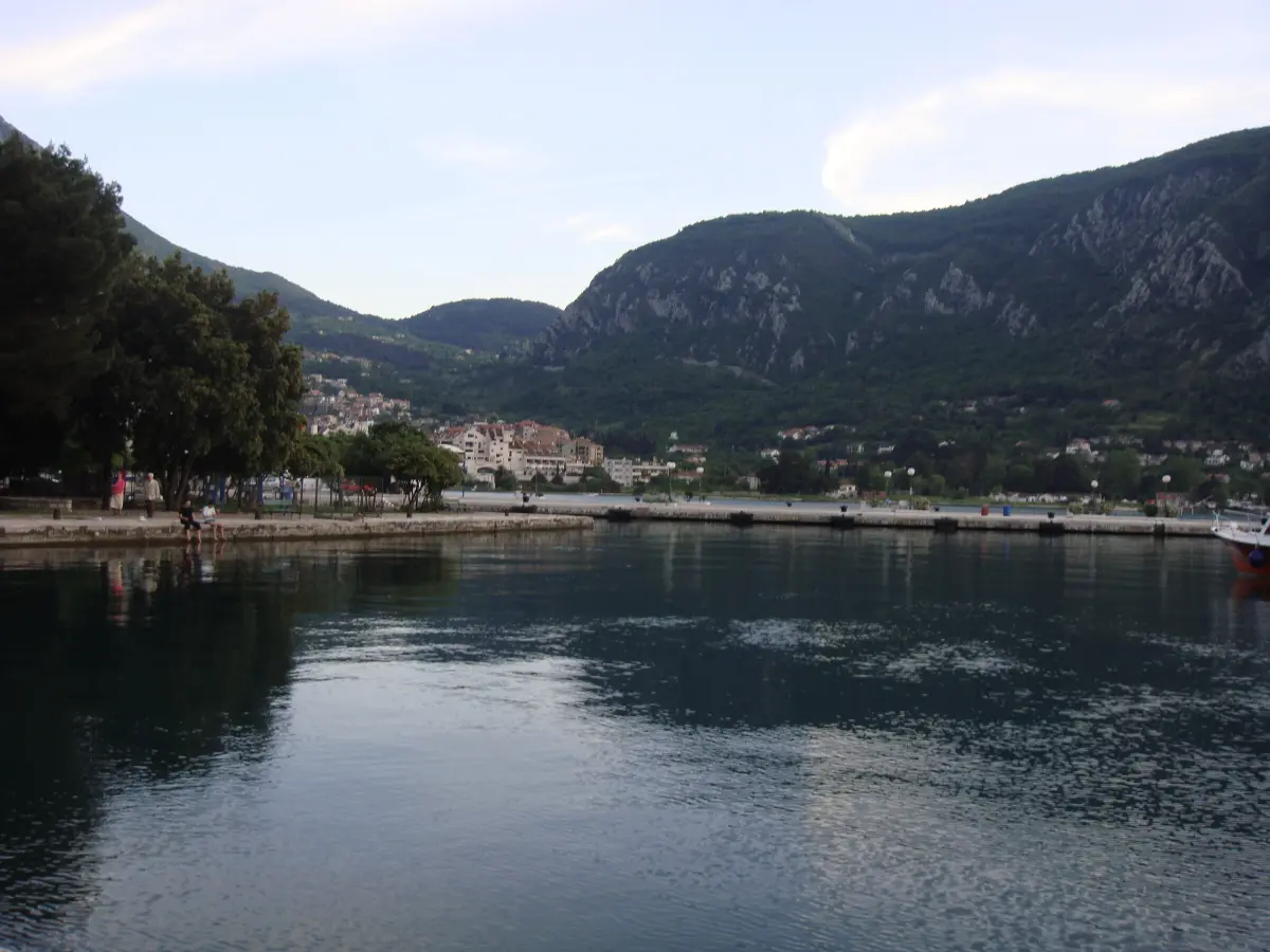
You are back in Kotor, and the loop around the bay is complete. You have passed fishermen's Muo and the captains' village of Prčanj, crossed the Verige by ferry, seen the Roman mosaics in Risan, the islands off Perast and the palaces of Dobrota. Almost the whole way you were driving through the Natural and Culturo-Historical Region of Kotor, a UNESCO World Heritage Site since nineteen seventy-nine. If you have time left, take a walk through the Old Town. We have an audio guide for that too, starting at the Sea Gate. On the Travel to Montenegro website you will also find pages on Perast, Our Lady of the Rocks, Tivat and Herceg Novi, and a calendar of events around the bay. Thank you for driving with us.

Good to know

Before you set off

Every word as text

The full narration of each stop is on this page and in the player, with the spoken sentence highlighted – for noisy streets and for deaf and hard-of-hearing visitors.

Works with the screen locked

Once you have pressed play, the narration keeps going with the screen off; use the lock-screen or headphone buttons for pause and next.

Your location stays on your phone

Location mode is optional and works only while this page is on screen. We never receive or store where you are.

Works offline

Download the tour before you go and it plays without mobile data.

Practical notes

Start and finish: Kotor, car park by the Sea Gate (paid). Length: about 44 km loop with the ferry; about 55 km with the detour to Porto Montenegro in Tivat. Time: about 1 h 30 min of driving without stops; 4–5 h with a walk in Perast, the ferry and breaks. Direction: clockwise (Kotor → Prčanj → Lepetane → Kamenari → Risan → Perast → Dobrota → Kotor). The sea is on your right, so it is easier to pull in at lay-bys on the shore. Kamenari–Lepetane ferry: €5 per car (JP Morsko dobro price list, 2026); foot passengers, cyclists and people with disabilities cross free. Pay before boarding, or buy online at trajekt.me. Summer timetable (4 May – 11 October 2026): every 15–20 minutes, day and night. Winter timetable (from 12 October 2026): every 20 minutes from 6:00 to midnight; at night on the hour from Kamenari and at half past from Lepetane. In summer, especially at weekends, the queue can take more than half an hour. Without the ferry: the loop cannot be closed, as there is no bridge over the Verige. Drive Kotor → Perast → Risan → Kamenari (about 30 km) and back the same way, or carry on from Kamenari to Herceg Novi (about 16 km). Visit Muo, Prčanj and Tivat separately; from Tivat you return to Kotor through the tunnel under Vrmac (about 12 km). Coming from Herceg Novi or Croatia? Join the loop at Kamenari and start with the Kostanjica stop; the ferry from Lepetane brings you back to Kamenari. Parking: Perast – paid car parks at the entrances to the village (they fill up quickly in summer); Prčanj and Orahovac – few spaces along the shore; Tivat – paid zones; Morinj – car park by the beach. The road: through Muo, Prčanj and Stoliv it is narrow and busy with pedestrians; drive slowly. Stop only in lay-bys and car parks, never on a bend. Best time: all year. In summer set off early because of traffic and the ferry queue; late afternoon light is best on Perast and Dobrota. Entry: the Roman mosaics in Risan and the Naval Heritage Collection in Tivat charge admission – check prices and opening hours on site. Agree the boat to Our Lady of the Rocks on the Perast waterfront.

Audio guides

More audio guides

Narration: AI-generated voice from our editors' scripts · Map © OpenStreetMap contributors, OpenFreeMap. Map data and sources →

Zora

Your Montenegro travel guide

Hi, I'm Zora

Ask me about places, beaches, food, events or a trip plan — in any language.