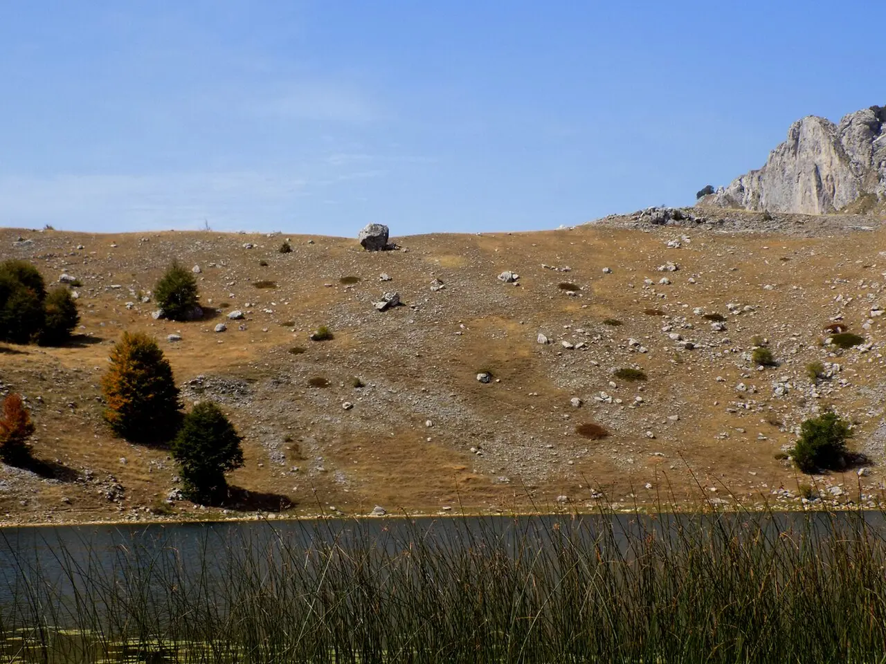
A very demanding hiking tour to the highest peaks of the Kuči Mountains.
Official hiking trail no. 603 of the National Network of Mountain Trails leads from Bukumir Lake over a pass to the peaks Surdup and Štitan. The tour is very demanding and intended for experienced hikers.
The trail starts at Bukumir Lake and leads past the katun Jezero (Petrovića) and Mijića Dol to the Jezerce pond below Pasjak. From the pond it climbs steeply over the Surdup – Štitan Pass (2050 m a.s.l.) to Surdup Peak (2184 m a.s.l.), the highest point of the Kuči Mountains. It then returns to the pass and continues to Štitan Peak (2172 m a.s.l.), then descends over the Štitan – Toljevac Pass (2005 m a.s.l.) back to the Jezerce pond.
The terrain is mostly rocky, and the steepest sections are from the Jezerce pond to Surdup and the descent from Štitan towards the Jezerce pond. The trail is marked and open from May to November. On both peaks there are boxes with a stamp and a logbook.
Due to the demanding configuration and large elevation difference, the tour is intended for experienced hikers with good fitness and appropriate equipment.
Trail data and route: Register of Mountain Trails, Mountaineering Association of Montenegro (staze.me), status as of 19 November 2026.
What this difficulty means
Very long or alpine terrain where hands may be needed, with few ways out. Only for experienced mountaineers in stable weather.
Places on this route
Move along the profile to follow the route on the map; switch on 3D for the terrain.
↑ 857 m · ↓ 450 m · highest point 2,177 m
Along the way
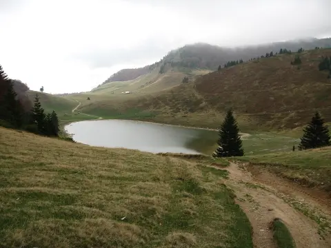
Starting point of the trail at 1445 m a.s.l., near the lake of the same name.
The highest peak of the Kuči Mountains at 2184 m a.s.l., with a stamp box and logbook.
The second highest peak of the Kuči Mountains at 2172 m a.s.l., with a stamp box and logbook.
Pass at 2050 m a.s.l. between the two highest peaks, with steep ascents on both sides.
Junction below Pasjak at 1852 m a.s.l., an important point for the ascent to the peaks and the return.
Take enough water.
Wear layered clothing and take a windbreaker – the peaks are exposed to wind.
Start early in the morning to avoid midday heat and possible thunderstorms.
Use sun protection and take a cap/hat.
Be sure to take a basic first-aid kit and a charged mobile phone.
Check the weather forecast before departure; at altitudes over 2000 m fog and storms arrive quickly.
The trail is mountainous and very demanding. Fog, strong wind and rapid weather changes are possible on the peak and passes. In case of thunderstorm, immediately descend from the ridge and exposed sections. The emergency number in Montenegro is 112.
Emergency number in Montenegro: 112.
Good to know
Best season
The most favourable period for the ascent is from June to September, when trails are usually dry and visibility is better. In October and November one should expect colder weather and shorter days.
Getting there
The trail starts at Bukumir Lake, at the katun Jezero (Petrovića).
According to the Register of Mountain Trails, the length of the trail is 7.4 km in one direction. With the return to the starting point, the whole tour is about 10 km long.
Estimated duration without breaks is about 4 h 50 min. With return to the starting point, one should count on about 5 h 45 min without longer rests.
The trail is categorized as difficult, that is, very demanding and intended for experienced mountaineers. The ascent to Surdup and the descent from Štitan are steep, in places over 29%.
According to the Register, the trail is open from May to November.
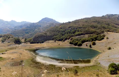
Hiking · Bukumirsko jezero
Cycling · Riblje jezero · Durmitor National Park

Hiking · Crno Jezero · Durmitor National Park
Hiking · Rikavačko jezero
Hiking · Bukumirsko jezero
Hiking · Mojkovac · Biogradska Gora National Park
Hiking
Hiking
Times and grades are estimates. Conditions change: check the weather and local information before you set out. Map and data sources →

