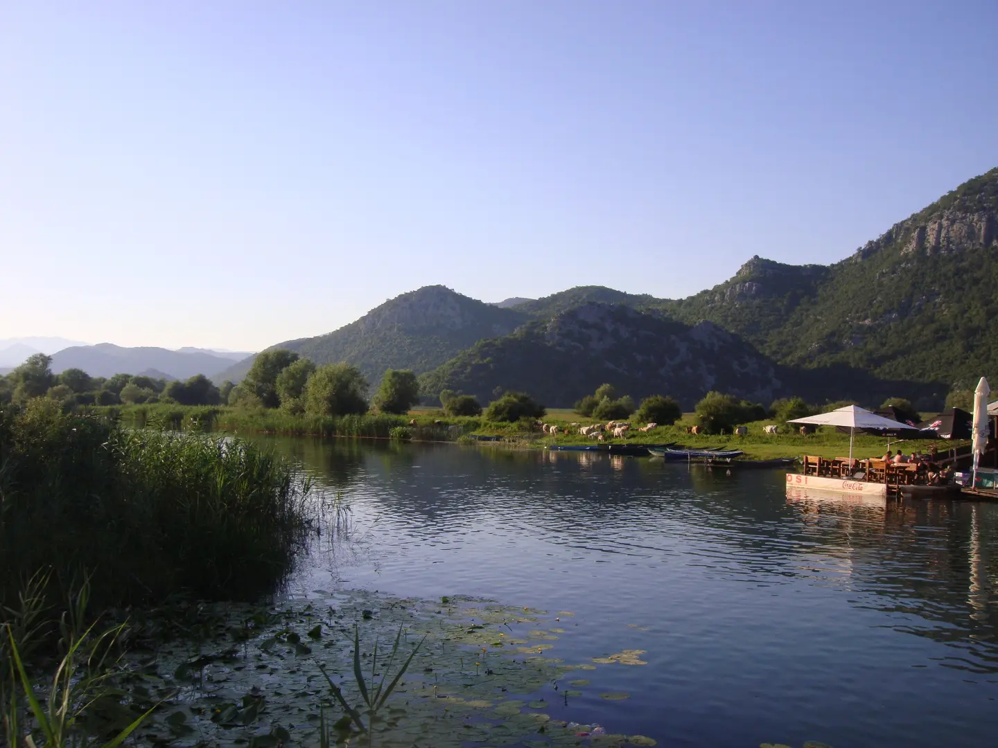
Easy cycling tour through Skadar Lake National Park, with a viewpoint and views of the lake surroundings.
Easy cycling trail 9.9 km long in Skadar Lake National Park; ridden one-way, mostly on gravel, with a 127 m ascent and a duration of about 55 minutes without breaks. The start is near Žabljak Crnojevića.
Biking Trail NPSJ06 is an easy cycling trail 9.9 km long in Skadar Lake National Park. It is ridden one-way, and the larger part of the route is gravel (76%), with less asphalt and concrete (22%). The total ascent is 127 m, descent 30 m, and the altitude ranges from 3 m to 110 m. The estimated riding time without breaks is 55 minutes.
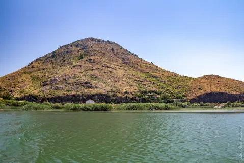
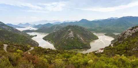
The trail starts near Žabljak Crnojevića, where there is parking at about 0.1 km. It passes by Dodoši and offers views of the lake surroundings. At 8.7 km from the start of the ride there is a viewpoint at 31 m above sea level. Within a distance of up to 10 km from the trail are also Karuč, Lesendro Fortress, and Besac Fortress.
Due to the small ascent and low altitude, this trail is suitable for recreational riders and family rides. Because of the gravel, a gravel or trekking bike is recommended.
What this difficulty means
Mostly flat or gentle riding on good surfaces. Fine for occasional riders and families.
Move along the profile to follow the route on the map; switch on 3D for the terrain.
↑ 127 m · ↓ 30 m · highest point 110 m
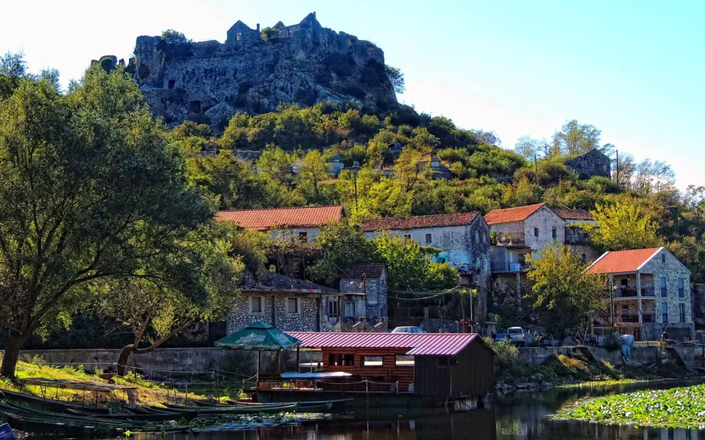
The starting point of the trail is about 0.1 km away; parking is nearby.
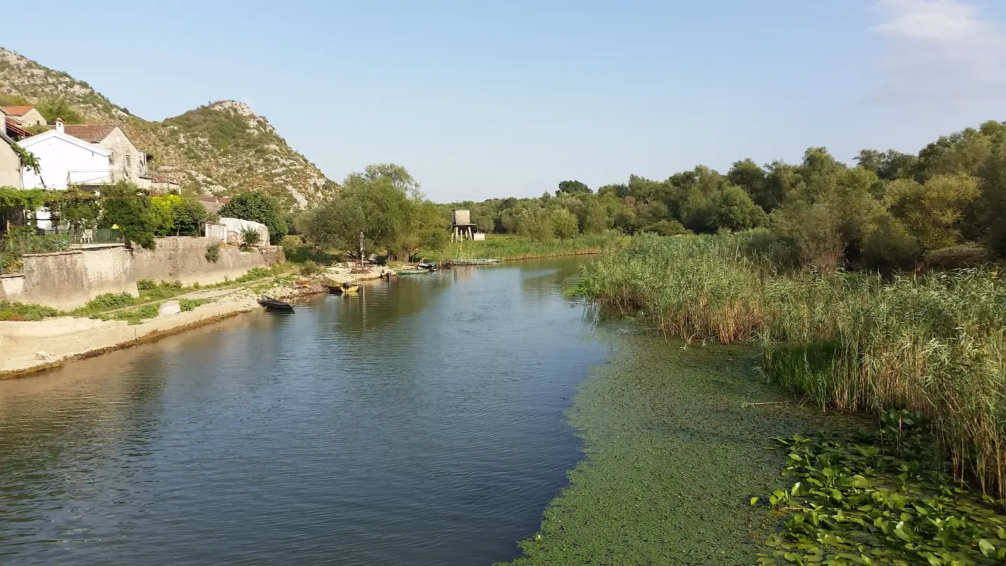
The trail passes right by this place.
It is located at 8.7 km from the start of the trail, at 31 m above sea level.
Use a gravel or trekking bike because 76% of the route is gravel.
Bring enough water, especially during the summer months.
Wear a helmet and bring a spare inner tube and pump.
Check the weather forecast before departure.
Start the ride earlier in the morning if riding in summer.
Wear a helmet and adjust speed on gravel. In case of thunder or severe weather, stop riding and seek shelter. For emergencies, call 112.
Emergency number in Montenegro: 112.
Good to know
Best season
The trail is at low altitude (3–110 m), so it is suitable for riding from spring to autumn. In summer, it is best to start earlier in the morning or later in the afternoon.
Getting there
The trailhead is about 0.1 km from Žabljak Crnojevića. Parking is located at approximately the same distance from the start.
The trail length is 9.9 km, and it is ridden one-way.
The estimated duration without breaks is 55 minutes.
The trail is of easy difficulty; the total ascent is 127 m, and the descent is 30 m.
Most of the route is macadam (76%), and a smaller part is asphalt/concrete (22%).
1.2 km40–55 min
1.4 km↑ 276 m55–80 min
1.0 km35–50 min
10.7 km↑ 184 m45–60 min
3.1 km↑ 110 m55–80 min
Loop
195 km↑ 3,259 m2–3 days
1.3 km↑ 11 m30–40 min
10.1 km↑ 386 m3–4½ h
Times and grades are estimates. Conditions change: check the weather and local information before you set out.

Ask about Montenegro
Ask me about destinations, restaurants or activities.
