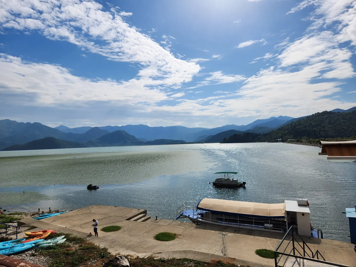
A short, demanding trail with a pronounced descent through Skadar Lake National Park.
The 1.0 km trail leads from Velji vrh to the parking area by the lake, overcoming 282 m of descent. The terrain is a combination of a dirt forest trail and a rocky section, so good footwear and careful walking are needed.
The Lake – Velji vrh trail passes through Skadar Lake National Park and offers dynamic terrain over just 1.0 km in length. The walk (without breaks) takes about 40 minutes, and the entire route descends — the total descent is 282 m, with no ascent at all.
The starting point is at Velji vrh (297 m a.s.l.), from where the trail winds toward the parking area on the shore, at just 11 m above sea level. Right at the beginning of the trail is the summit of Velji vrh (303 m a.s.l.), which offers views of the surrounding landscape. The surface is mixed: about 55% dirt forest trail and 45% rocky terrain, requiring sturdy mountain footwear.
The trail is marked with red-and-white markings. On the SAC scale it is rated T3 (demanding mountain trail), and it is not recommended for beginners or children without experience. In the surrounding area there are several historic fortresses — Lesendro, Besac, Grmožur and Žabljak Crnojevića — which you can combine with a visit to this area.
What this difficulty means
Steep, rocky or exposed passages and a long day out. For fit, sure-footed hikers with mountain experience.
Mountain hiking grade SAC T3 (scale T1–T6).
Move along the profile to follow the route on the map; switch on 3D for the terrain.
↑ 0 m · ↓ 282 m · highest point 297 m
Along the way
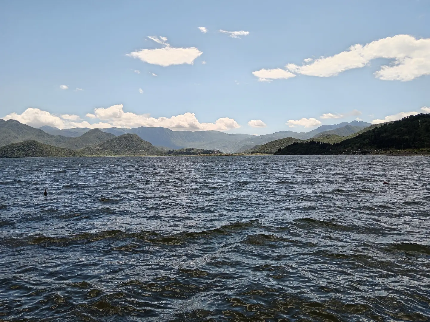
The trail lies entirely within a protected area known for its rich plant and animal life.
A summit right at the beginning of the trail, offering a glimpse of the surrounding landscape of Skadar Lake and the surrounding hills.
Over just 1.0 km, the trail loses 282 meters of elevation, making it physically demanding and technically challenging.
The combination of a dirt forest trail and rocky ground makes every step varied — and requires constant attention.
About 1.0 km from the start of the trail is Lesendro Fortress, so it is possible to combine hiking with a visit to this site.
Wear sturdy hiking boots with good rubber soles — rocky terrain makes up 45% of the surface.
Bring enough water, as there are no known water sources along the trail.
The trail is one-way — arrange transport or a return from the parking area in advance.
Start in the morning to avoid the midday heat, especially in summer.
Be careful on wet rocky terrain after rain — slipping is a real risk.
The trail is not suitable for beginners; it is recommended for people with experience hiking on T3 terrain.
Rocky terrain and a steep descent increase the risk of falling, especially in wet conditions — walk carefully and choose safe steps. In the event of severe weather or injury in the mountains, call emergency services at 112.
Emergency number in Montenegro: 112.
Good to know
Best season
The trail is passable for most of the year. Spring and autumn are the most favorable periods; in summer it can be very hot on exposed sections of the descent.
Getting there
The trail starts at Velji vrh and ends at the parking area by the lake. The parking area can be reached by car, which also serves as the endpoint for a one-way crossing.
The trail is 1.0 km long and leads in one direction, from Velji vrh to the parking area.
Estimated walking time without breaks is around 40 minutes.
The trail is rated as demanding (SAC scale T3). Total descent is 282 m in just 1.0 km, over partially rocky terrain.
Yes, the trail is marked with red-and-white markings along its entire length.
1.2 km40–55 min
1.4 km↑ 276 m55–80 min
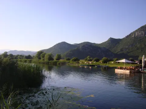
9.9 km↑ 127 m45–65 min

195 km↑ 3,259 m2–3 days
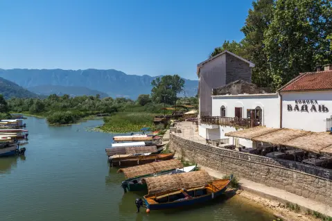
11.4 km↑ 62 m2½–4 h
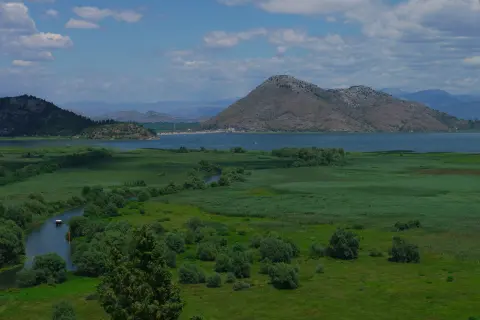
41.5 km↑ 870 m3–4 h
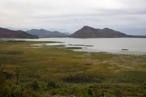
20.0 km↑ 373 m1½–2 h
Loop
148 km↑ 2,604 m2–3 days
Times and grades are estimates. Conditions change: check the weather and local information before you set out.

Ask about Montenegro
Ask me about destinations, restaurants or activities.
