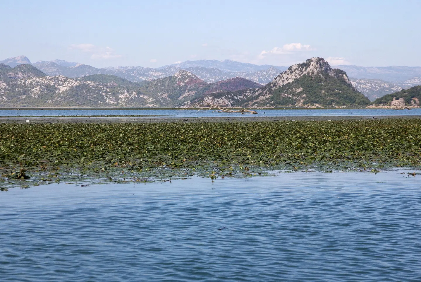
Short, demanding marked trail in Skadar Lake NP with viewpoints and a descent of 284 m.
Short and demanding marked trail in Skadar Lake National Park. It is 1.2 km long, with no ascent and 284 m of descent, taking about 45 min of walking.
Vranjina – Velji vrh is a short one-way hiking trail, 1.2 km long. It is located in Skadar Lake National Park. The total descent is 284 m, with no ascent. The highest point on the route is 297 m a.s.l., and the lowest is 8 m a.s.l. The estimated walking time without breaks is 45 min.
The trail is marked with red-and-white blazes and mostly runs over rocky terrain (85%), while the rest is a dirt/forest path. At 0.0 km from the start is the summit of Velji vrh (303 m a.s.l.). At 0.3 km there are two viewpoints – at 239 m a.s.l. and 262 m a.s.l. – and at the end of the trail, at 1.2 km from the start, there is a car park.
Due to the 284 m descent and rocky surface, the trail is rated as demanding (SAC T3). It is not a loop, so return transport or onward travel from the end point must be planned in advance.
Near the trail are Lesendro Fortress (~1.0 km from the start), Grmožur Fortress (~4.1 km), Besac Fortress (~4.4 km), and Žabljak Crnojevića (~4.7 km).
What this difficulty means
Steep, rocky or exposed passages and a long day out. For fit, sure-footed hikers with mountain experience.
Mountain hiking grade SAC T3 (scale T1–T6).
Move along the profile to follow the route on the map; switch on 3D for the terrain.
↑ 0 m · ↓ 284 m · highest point 297 m
Along the way
Located at the very start of the trail, at 303 m a.s.l.
Located 0.3 km from the start of the route.
Located 0.3 km from the start of the route.
End of the trail, 1.2 km from the start.
The closest point of interest to the start of the trail, approximately 1.0 km away.
Wear sturdy hiking boots with good grip; the trail is 85% rocky.
Bring enough water, especially in summer.
Due to the total descent of 284 m and the demanding rating, take your time and mind your knees.
Check the weather forecast before setting off; rock is slippery when wet.
Start early in the morning or later in the afternoon during the hot months.
The trail is not a loop, so plan your return or onward journey in advance.
The trail is demanding (T3) and mostly rocky. Be especially careful on the descent, particularly on wet or damp terrain. In case of emergency, call 112.
Emergency number in Montenegro: 112.
Good to know
Best season
The best period is from spring to autumn, when walking conditions are most favourable. Due to the low elevation, it can be very hot in summer, so avoid the middle of the day.
Getting there
The trail starts in Vranjina. The car park is located 1.2 km from the start, and Lesendro Fortress is approximately 1.0 km from the starting point.
The trail is 1.2 km long (1.18 km).
The estimated duration without breaks is 45 minutes.
On our scale it is demanding; according to the SAC hiking scale T3.
Yes, it is marked with red-and-white markings and it is not circular – it goes in one direction.
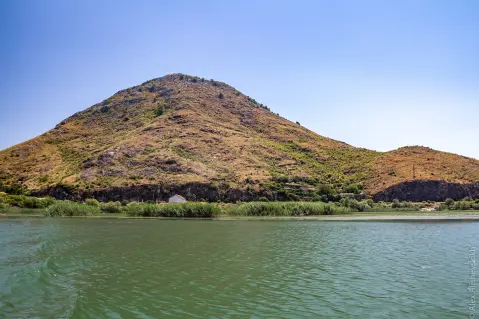
Hiking · Lesendro Fortress · Lake Skadar
Hiking · Lesendro Fortress · Lake Skadar
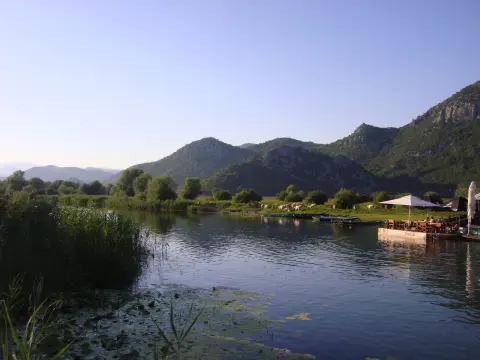
Cycling · Žabljak Crnojevića · Lake Skadar
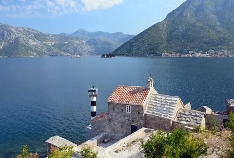
Cycling · Rose, Luštica · Lake Skadar
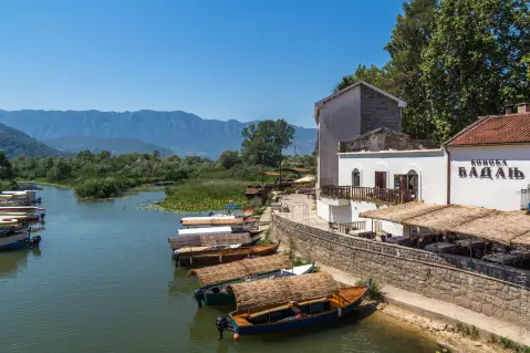
Hiking · Petrovac Beach · Lake Skadar
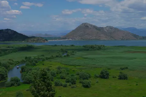
Cycling · Lake Skadar
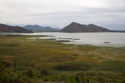
Cycling · Besac Fortress · Lake Skadar
Cycling · Ada Bojana · Lake Skadar
Times and grades are estimates. Conditions change: check the weather and local information before you set out. Map and data sources →

