Travel to Montenegro
Kotor walls and St John's Fortress: the climb to San Giovanni
Free audio guide

Kotor walls and St John's FortressThe climb to San Giovanni

Free self-guided audio climb up the walls, no app needed

  • Free · no app needed
  • 2 languagesME · EN
  • Moderate
  • Fits a cruise stop
walk
120 min
route
⁨2.2 km⁩
stops
10
of audio
13 min
Overview

An audio tour up Kotor's walls, from the entrance by St Mary's church to St John's Fortress at about 260 metres: the upper and lower town, Illyrian and Byzantine traces, the Venetian fortifications on UNESCO's list since 2017, sieges, the 1979 earthquake and the walled-up 'window' to the Ladder of Kotor. Nine stops, about two hours up and down, with an extension to the start of the old path to Njeguši.

How it works

  1. Press play at the first stop

    Nothing to install. Headphones are best; the lock screen and headphone buttons work too.

  2. Walk at your own pace

    Each stop ends with directions to the next one. Tap the next stop when you get there.

  3. Or let GPS guide you

    Choose “Guide me (GPS)” when you start: each stop begins when you arrive – while this page is open on screen.

Route

The walk on the map

The tour starts at Walls entrance by St Mary's church (Parilo). Tap a number to play that stop.

Stop by stop

10 stops on the way

Listen, or read the full narration of every stop below.

Before you start

Welcome

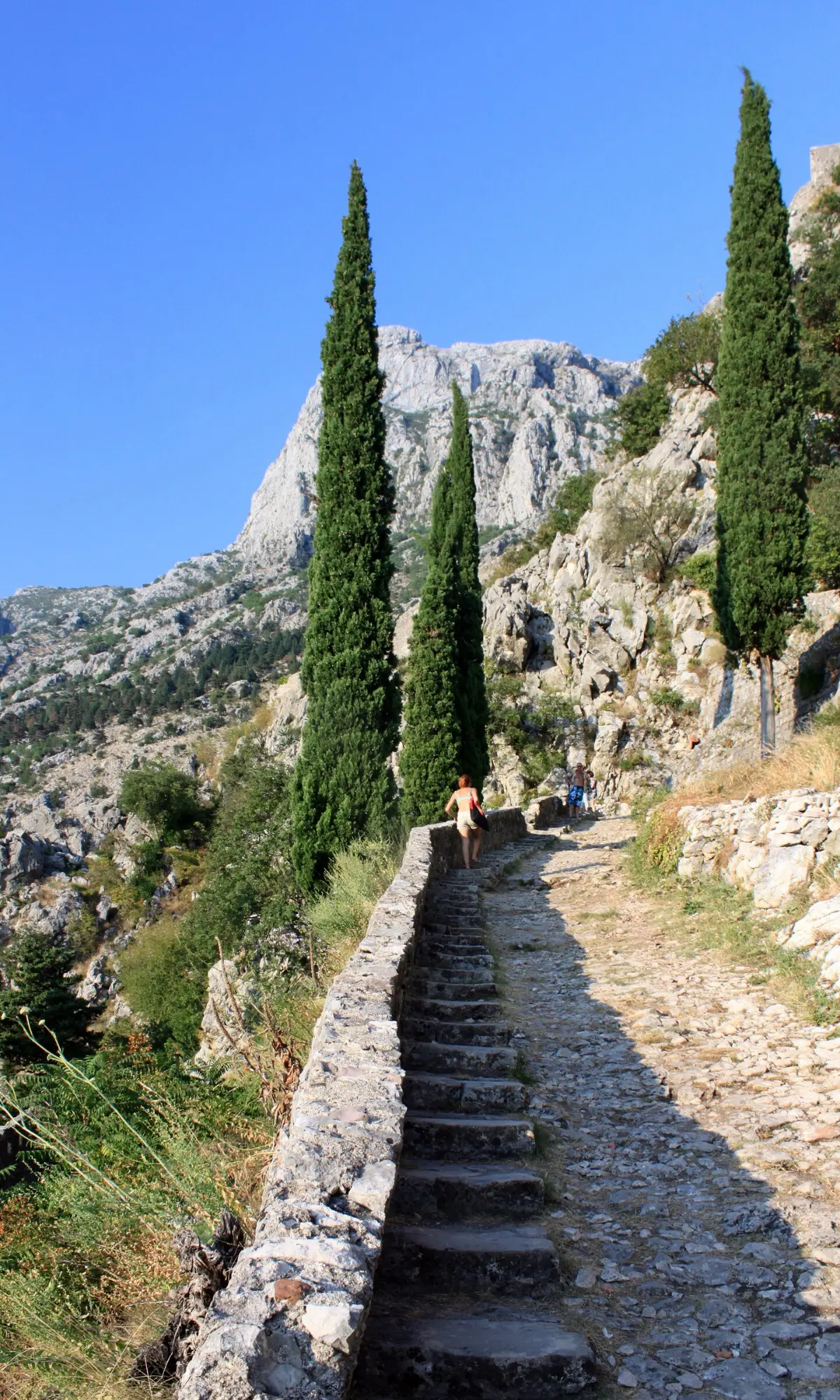
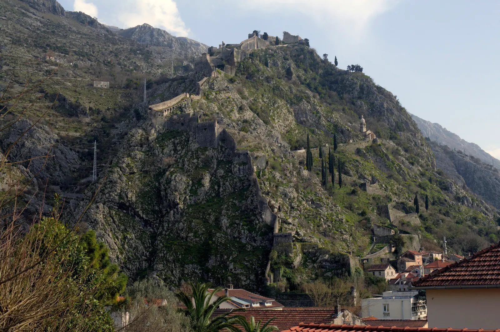
Welcome. This is the Travel to Montenegro audio guide up the walls of Kotor to Saint John's Fortress, which locals call San Giovanni. The path is just over a kilometre long, with around one thousand three hundred and fifty steps, up to about two hundred and sixty metres above the sea. Allow two hours up and down. There are nine stops, and a tenth at the start of the old path to Njeguši. Listen standing still, at the side of the path. The steps are uneven and slippery, there is almost no shade, and there is no water or toilet up there. In summer, start early in the morning or towards evening, with at least a litre and a half of water. The ticket is fifteen euros, and residents of Montenegro go in free. Let's go.
  1. The north entrance by St Mary's (Parilo)1
    Stop 11:01

    The north entrance by St Mary's (Parilo)

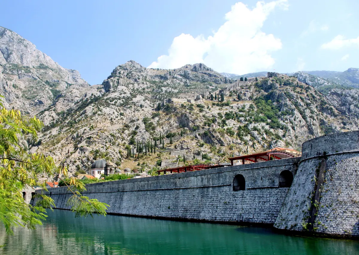
    You are standing at the main entrance to the walls. This spot is called Parilo, and behind you is the church of Saint Mary Collegiate, where Blessed Osanna rests. This is the first ticket gate. The second gate is in the south of the town, behind Saint Tryphon's Cathedral, at a spot the municipality calls Škaljari Square. Both paths climb the hill and meet below the church of Our Lady of Remedy, a third of the way up. We start here, and you can come down either way. Look up at the cliff. Kotor's walls have two parts. One encloses the town along the sea and along the river Škurda. The other climbs Saint John's hill in a zigzag, up to the fortress at the top. Together they are about four and a half kilometres long. The Municipality of Kotor says that ticket money goes to maintaining and repairing the walls and the paths. Keep your ticket until you leave. If you haven't already, fill your bottle at the fountain by the entrance. There is no water further up.

    On to the next stop (⁨50 m⁩): Take the steps along the wall, heading south. After about fifty metres, at the first bend, stop and turn towards the river.

  2. Upper town and lower town2
    Stop 21:14

    Upper town and lower town

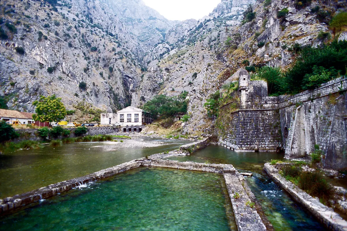
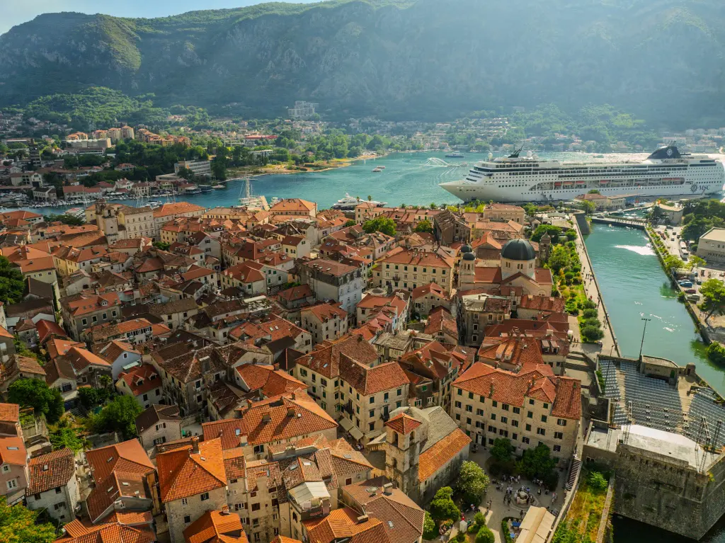
    Stop at the bend and look down. The north wall runs down to the river Škurda, and the river runs into the sea. The ancient writers Livy, Pliny the Elder and Ptolemy mention a town called Acruvium on this spot, or somewhere close. From the seventh century the town is called Dekaderon and Decatarum, and the name Kotor comes from that. Written sources speak of an upper town and a lower town. The upper town is the oldest part of the settlement, on top of Saint John's hill, where you are heading. The lower town was down here, by the sea. It was laid waste by the Saracens in eight forty-one, and at the end of the tenth century by the army of Tsar Samuel. Traces from the Illyrian period have been found at the very top of the hill. In the sixth century the Byzantine emperor Justinian rebuilt the fort up there. No one knows when the first stone of the walls was laid. They grew with the town, century by century, and work on the upper part went on until the nineteenth century. When you reach the top, you will be standing where Kotor's story began.

    On to the next stop (⁨90 m⁩): Carry on uphill for about three hundred metres. Below the church with the bell tower, the path joins the one from the south entrance. There, keep climbing to the east, to a row of small chapels along the steps.

  3. The votive chapels3
    Stop 31:00

    The votive chapels

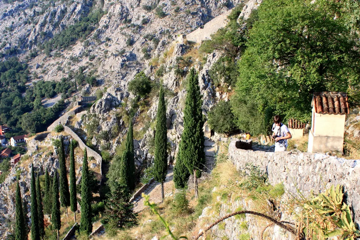
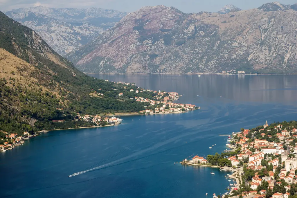
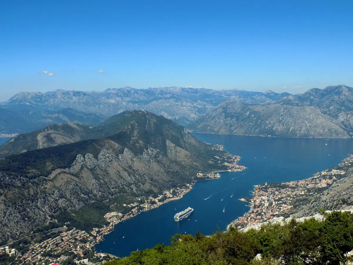
    Along these steps stand small votive chapels. The Kotor Tourist Board writes that there are five of them, and that this stairway with its chapels is the way to the church of Our Lady of Remedy. A vow is a promise made to God in a time of trouble, and kept once the trouble has passed. Kotor had no shortage of trouble. The plague struck the town in fifteen seventy-two as well. Earthquakes almost destroyed it in fifteen sixty-three and in sixteen sixty-seven. The church you are heading to was itself built as a vow, after one of the plague epidemics. Stop by a chapel and rest your legs. Look towards the bay. Down below is the harbour where the cruise ships dock. Across the water is the hill of Vrmac, which closes Kotor off to the south-west. From here you can also see why the town stands exactly here. The sea on one side, the river on the other, and the cliff at its back. The walls only had to close what nature had left open.

    On to the next stop (⁨40 m⁩): Go down the steps past the chapels for about fifty metres, to the church with the bell tower.

  4. Our Lady of Remedy and the Venetian walls4
    Stop 41:15

    Our Lady of Remedy and the Venetian walls

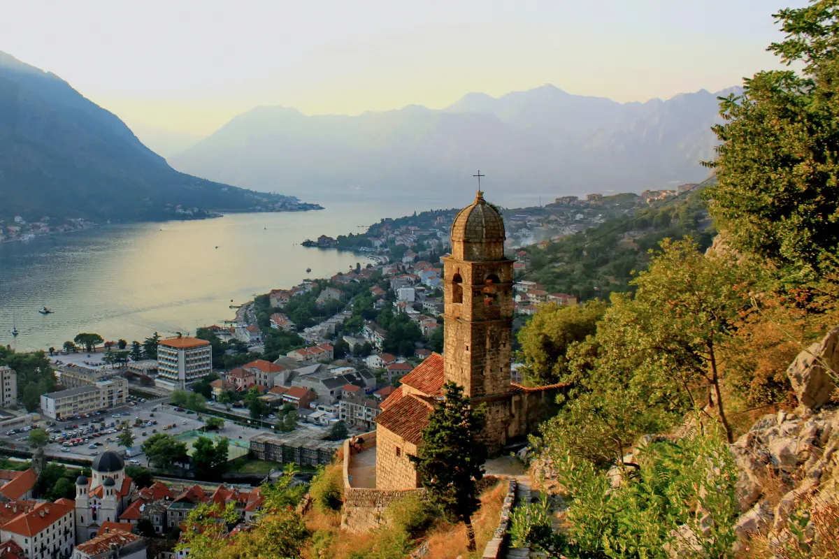
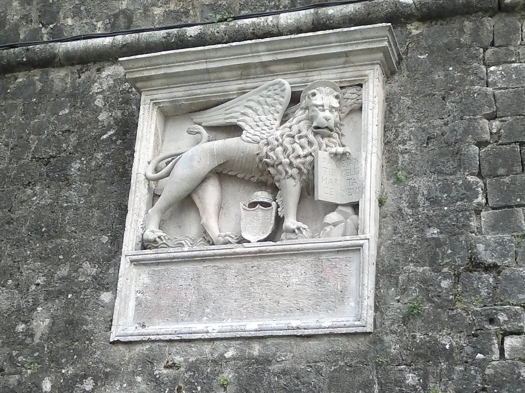
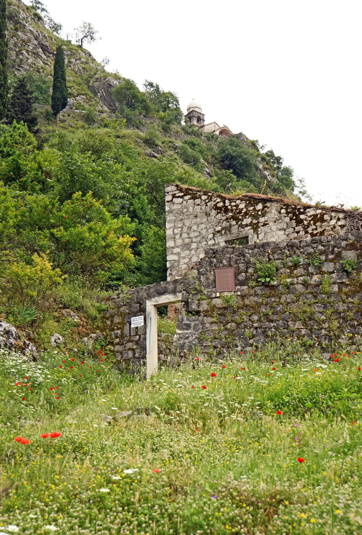
    This is the church of Our Lady of Remedy, built in fifteen eighteen. You have climbed about a third of the way. In fourteen twenty Kotor came under the Republic of Venice, and it stayed Venetian for almost four centuries, until seventeen ninety-seven. From the fifteenth century it was a frontier town, under constant threat of Ottoman attack. This was exactly when gunpowder changed warfare. Tall, thin walls could not stand up to cannon. So the Venetians strengthened the walls, made them thicker, and added bastions, from which defenders could also fire at the attackers from the side. Most of what you see today was built by Venice. The town needed it. In sixteen fifty-seven an Ottoman army besieged Kotor, but failed to take it. In twenty seventeen UNESCO added the Venetian works of defence to the World Heritage List. They are shared by Italy, Croatia and Montenegro: six fortified sites spread over more than a thousand kilometres, from Bergamo to Kotor. Kotor is the southernmost. If you have had enough, this is an easy place to turn back. Further on, the path gets steeper.

    On to the next stop (⁨90 m⁩): Behind the church the path zigzags uphill for about three hundred metres. Stop where you come out onto the wall itself, by the information board.

  5. The earthquake and the abandoned walls5
    Stop 51:05

    The earthquake and the abandoned walls

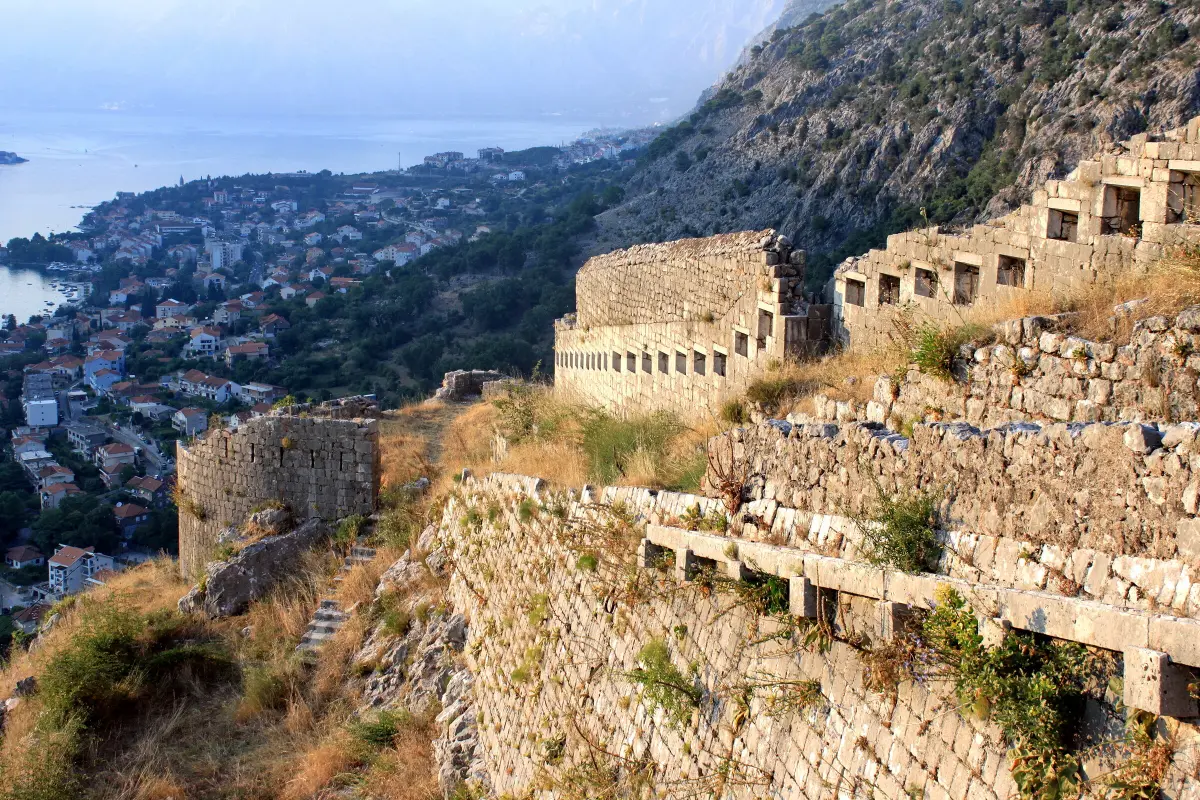
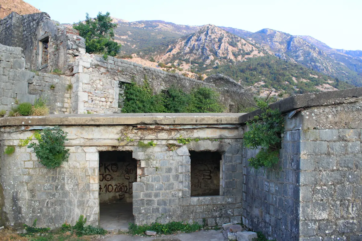
    Here the path comes out onto the wall itself. See how the wall follows the edge of the rock, up towards the fortress. On the fifteenth of April, nineteen seventy-nine, at nineteen minutes past seven in the morning, an earthquake of magnitude six point nine struck the Montenegrin coast. It was the most destructive earthquake in Montenegro in the twentieth century. In Kotor, churches and the town walls were badly damaged. The town was restored, largely with UNESCO's help. But most of the work was done down in the town. The walls on the hill had been left without a garrison back in nineteen eighteen, when the Austrian army left. Since then nobody had looked after them regularly. Rain, roots and earthquakes did the rest. In two thousand and one, the International Council on Monuments and Sites, ICOMOS, called for the fortress to be restored and brought back to life. So take care. Don't climb on the walls and don't leave the path. Stone that looks solid can come loose.

    On to the next stop (⁨80 m⁩): Carry on along the wall for about two hundred metres, to where the view opens onto the mountain behind the wall.

  6. Facing Lovćen: the frontier6
    Stop 61:04

    Facing Lovćen: the frontier

    Turn towards the mountain behind the wall. These are the slopes of Lovćen. Up there, beyond the rocks, is Njeguši, and further on Cetinje, Montenegro's old royal capital. For centuries Kotor belonged to one world and the mountain above it to another. Down here Venice, then Austria, and up there Montenegro. For Montenegrins, Kotor was the most important market and the only way in from the outside world. For whoever ruled Kotor, the mountain was a frontier to be guarded. Austria ruled Kotor from eighteen fourteen to nineteen eighteen and turned the Bay of Kotor into a major naval base. Look down the bay. On the first of February nineteen eighteen, aboard the ships of the Austro-Hungarian fleet anchored in the bay, sailors raised red flags and demanded an end to the war. About thirty ships joined the mutiny. It was over after three days, and four sailors were executed. From here the fortress is about ten more minutes.

    On to the next stop (⁨40 m⁩): About seventy more metres uphill. Stop by the opening in the wall on the left of the path.

  7. The walled-up window and the Ladder of Kotor7
    Stop 71:15

    The walled-up window and the Ladder of Kotor

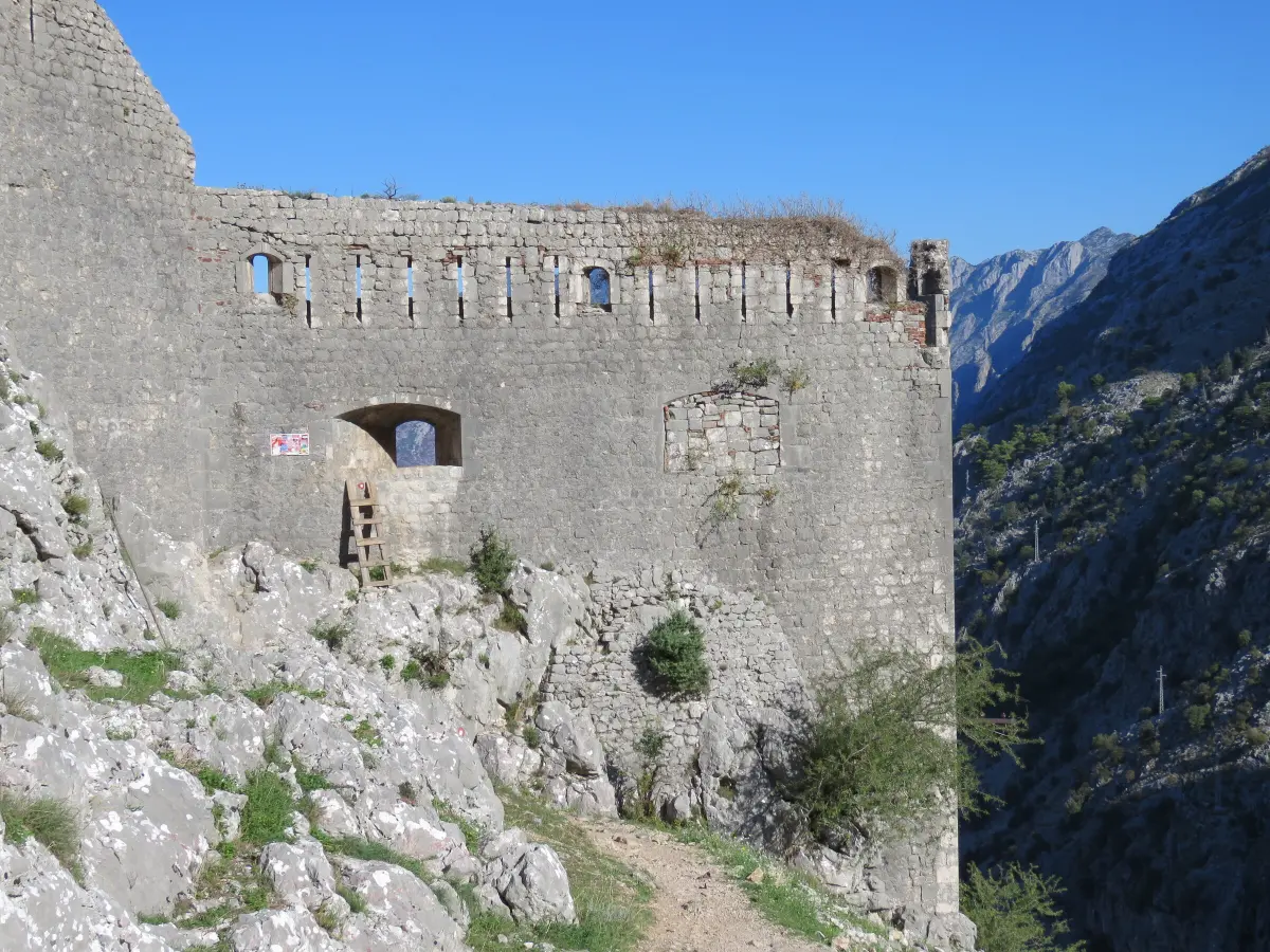
    Look at the wall on your left. It has gunports, openings through which the defenders fired their cannon. For years people climbed into the walls through one of these openings from the other side, from the old path, without a ticket, using makeshift ladders. People called it the window. In May twenty twenty-six the Municipality of Kotor walled up the two gunports that were used most as an unofficial way in, at the positions called Renijer and Batalja. The openings are five metres or more above the ground, and several people had been injured there. They were closed with stone and lime mortar. The municipality says this is temporary and can be removed without harming the walls. So don't try to squeeze through or climb. Behind the wall is the hamlet of Špiljari, with the small church of Saint George and ruined houses. The old path to Njeguši runs past it, the one known today as the Ladder of Kotor. From the plain of Njeguši it came down over the Krstac pass, in switchbacks, into the Škurda canyon and on to Špiljari. It was a path for people on foot and on horseback. Today you reach the Ladder only from below, from the North Gate. We will tell you how at the end of the tour.

    On to the next stop (⁨110 m⁩): The fortress is about one hundred and thirty metres further up, on steep steps.

  8. St John's Fortress (San Giovanni)8
    Stop 81:21

    St John's Fortress (San Giovanni)

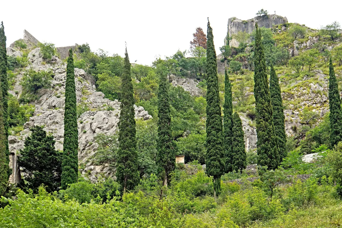
    You are at the top, about two hundred and sixty metres above the sea. This was the command centre of Kotor's defence. The Kotor Tourist Board writes that it held artillery positions, armouries and quarters for the garrison. In the autumn of eighteen thirteen a French garrison shut itself up in the fortress. Montenegrin troops of Prince-Bishop Petar the First surrounded Kotor by land, and British ships under Captain William Hoste closed it from the sea. Early in eighteen fourteen the French surrendered. Hoste handed the town to a Montenegrin commission, and for a short time Kotor was under Montenegrin rule. The Congress of Vienna then gave it to Austria. Look down. From here you see best the town's triangle between the sea, the river and the rock, and how small the town is and how long the walls are. It is easy to picture a lookout here, following every ship in the bay. Rest and drink some water. Going down is harder on the knees than coming up, and the steps are most slippery on the way down. Go slowly, step sideways if it helps, and hold on to the wall where you can.

    On to the next stop (⁨270 m⁩): Go down the same steps to the church of Our Lady of Remedy, about seven hundred metres. Below the chapels the path forks. The northern branch leads back to the entrance by Saint Mary's, the southern one to the exit behind the cathedral. Both are about four hundred metres.

  9. The descent: the south exit9
    Stop 90:55Optional

    The descent: the south exit

    You have come down to the south exit, behind Saint Tryphon's Cathedral. This is the second ticket gate. The walls have a new role today. Between April and August of twenty nineteen alone, almost a hundred thousand people climbed them. For a long time the ticket was eight euros, and since November twenty twenty-three it has been fifteen. The money, the municipality says, goes to maintaining the walls and the paths. For centuries armies built and guarded these walls. Today the ticket does. If you still have the energy and the time, walk north through the town, about four hundred metres, to the North Gate. Beyond it, across the bridge over the Škurda, the old path to Njeguši begins: the Ladder of Kotor. If you are done for today, find some shade on one of the squares. The town below the walls has its own audio walk, which starts at the Sea Gate.

    On to the next stop (⁨350 m⁩): For the North Gate, walk north through the town, about four hundred metres, past Saint Mary's church.

  10. The Ladder of Kotor: the old path to Njeguši10
    Stop 101:05Optional

    The Ladder of Kotor: the old path to Njeguši

    Here, in front of the north walls, the old path from the mountain ended. The flat ground outside the walls was called the Montenegrin Market. This is where the highlanders brought their goods to Kotor's market. The path was narrow, for people on foot and on horseback, but until the second half of the nineteenth century it was the main link between the Montenegrin hinterland and the sea. Then the engineer Josip Slade designed a carriage road. The section from Kotor, with its famous twenty-five hairpin bends, was finished in eighteen eighty-four. Today the old path is a marked hiking trail. To the Krstac pass it is about five kilometres, with more than a thousand metres of ascent, about four and a half hours one way. There is little shade and no reliable water on the way. You don't have to go to the top. Climb to the first bends above Špiljari, look at the walls and the fortress from the side the attackers saw, and come back the same way. You will find the map and description on our website, under Ladder of Kotor.

    On to the next stop: Follow the signs for the Ladder of Kotor and Špiljari, up the Škurda canyon.

At the end

Farewell

This is the end of our tour of Kotor's walls. You have climbed from Parilo to San Giovanni, through some fifteen centuries of defence, from the Illyrian traces at the top to the gunports walled up in twenty twenty-six. If you haven't yet, walk through the Old Town itself with our audio guide, which starts at the Sea Gate. On the Travel to Montenegro website you will also find pages on Saint John's Fortress, on the fortresses of Montenegro and on Venetian Boka, and the Ladder of Kotor trail with a map. Thank you for climbing with us. Drink some water and rest your legs.

Good to know

Before you set off

Every word as text

The full narration of each stop is on this page and in the player, with the spoken sentence highlighted – for noisy streets and for deaf and hard-of-hearing visitors.

Works with the screen locked

Once you have pressed play, the narration keeps going with the screen off; use the lock-screen or headphone buttons for pause and next.

Your location stays on your phone

Location mode is optional and works only while this page is on screen. We never receive or store where you are.

Works offline

Download the tour before you go and it plays without mobile data.

Practical notes

- Start: the walls entrance by the church of St Mary Collegiate (Parilo), in the north of the Old Town. The second entrance is behind St Tryphon's Cathedral (Škaljari Square); the two paths meet below the church of Our Lady of Remedy. - Length: about 1.1 km up to St John's Fortress (about 260 m above sea level) and about 1.1 km down; about 2.2 km and around 1,350 steps in total. - Duration: about 2 hours up and down, with listening (the climb itself 45–60 min). - Extension: the Ladder of Kotor, the old path to Njeguši, starts beyond the North Gate; to the Krstac pass it is 4.8 km and about 1,070 m of ascent (about 4.5 h one way). The 'window' between the Ladder and the walls was walled up in May 2026. - Ticket: €15 (2026); free for residents of Montenegro. Tickets are sold at both entrances; check opening hours on site. - Best time: early morning or after 5 pm, especially in summer and on cruise-ship days. Spring and autumn are the most comfortable. - Accessibility: steep, uneven and polished stone steps, in places without a railing; not suitable for buggies or wheelchairs; not advised with heart or knee problems or vertigo. - Bring: water (at least 1.5 l in summer), a hat, sunscreen and shoes with a good grip. There is no water or toilet along the path; there is a fountain at the entrance by St Mary's.

Audio guides

More audio guides

Narration: AI-generated voice from our editors' scripts · Map © OpenStreetMap contributors, OpenFreeMap. Map data and sources →

Zora

Your Montenegro travel guide

Hi, I'm Zora

Ask me about places, beaches, food, events or a trip plan — in any language.