On the water
Rafting
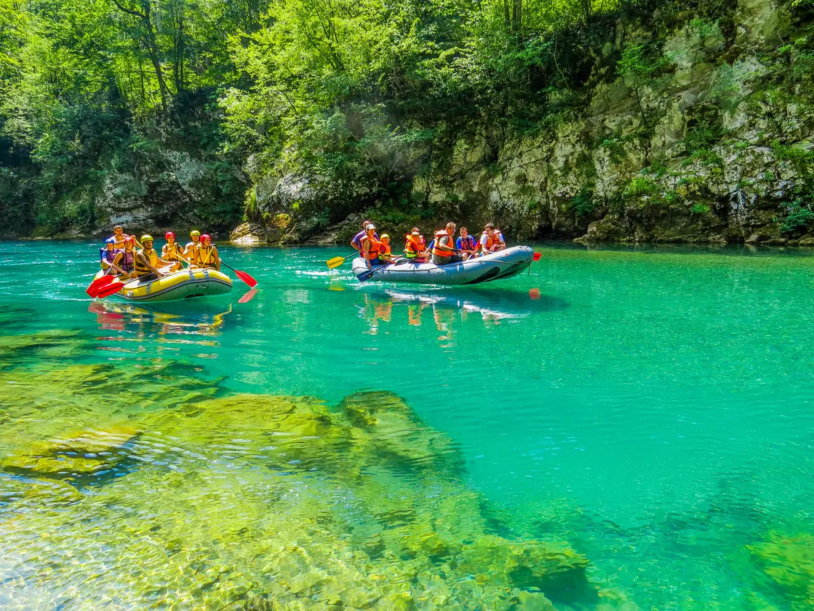
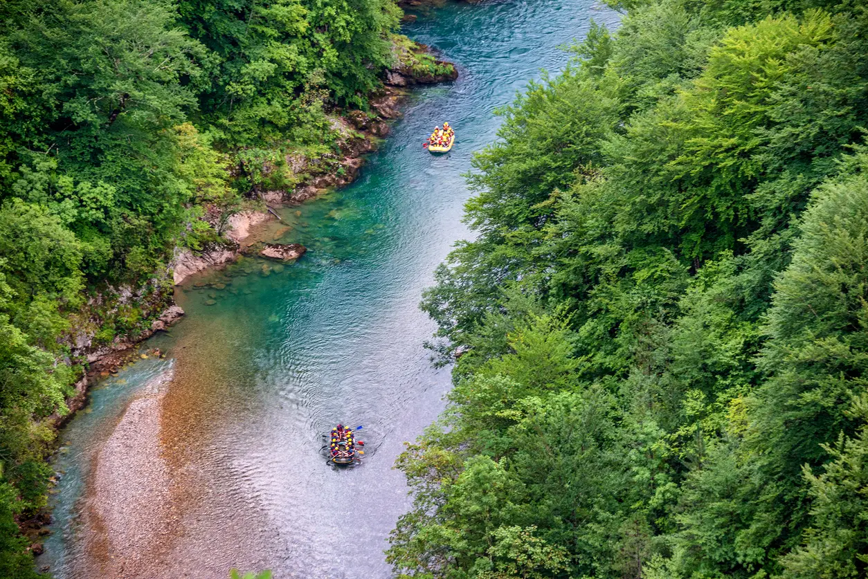
A one-day run from Brštanovica to Šćepan Polje or a multi-day trip from below the bridge, always with an operator.
A canyon up to 1,300 metres deep and rafting through Durmitor
The Tara has cut a canyon 78 kilometres long, from the mouth of the Bistrica to Šćepan Polje, where it joins the Piva to form the Drina.
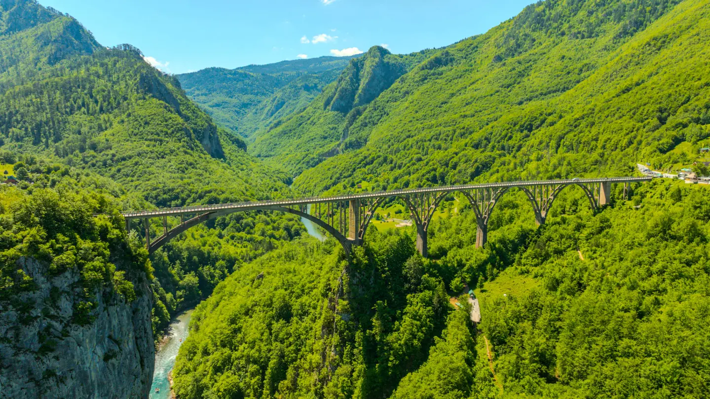
According to Durmitor National Park, the canyon is about 1,000 metres deep and up to 1,300 in places; the national tourist board gives a maximum depth of 1,333 metres. The canyon is part of Durmitor National Park, inscribed on the UNESCO World Heritage List in 1980, and the Tara basin has been a biosphere reserve since 1977. The Đurđevića Tara bridge crosses it 172 metres above the river, and rafts run down the Tara from spring to autumn.
Highlights
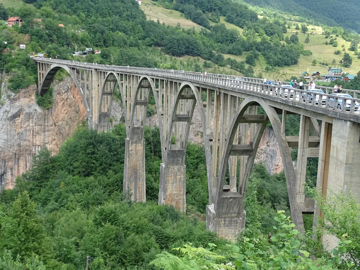
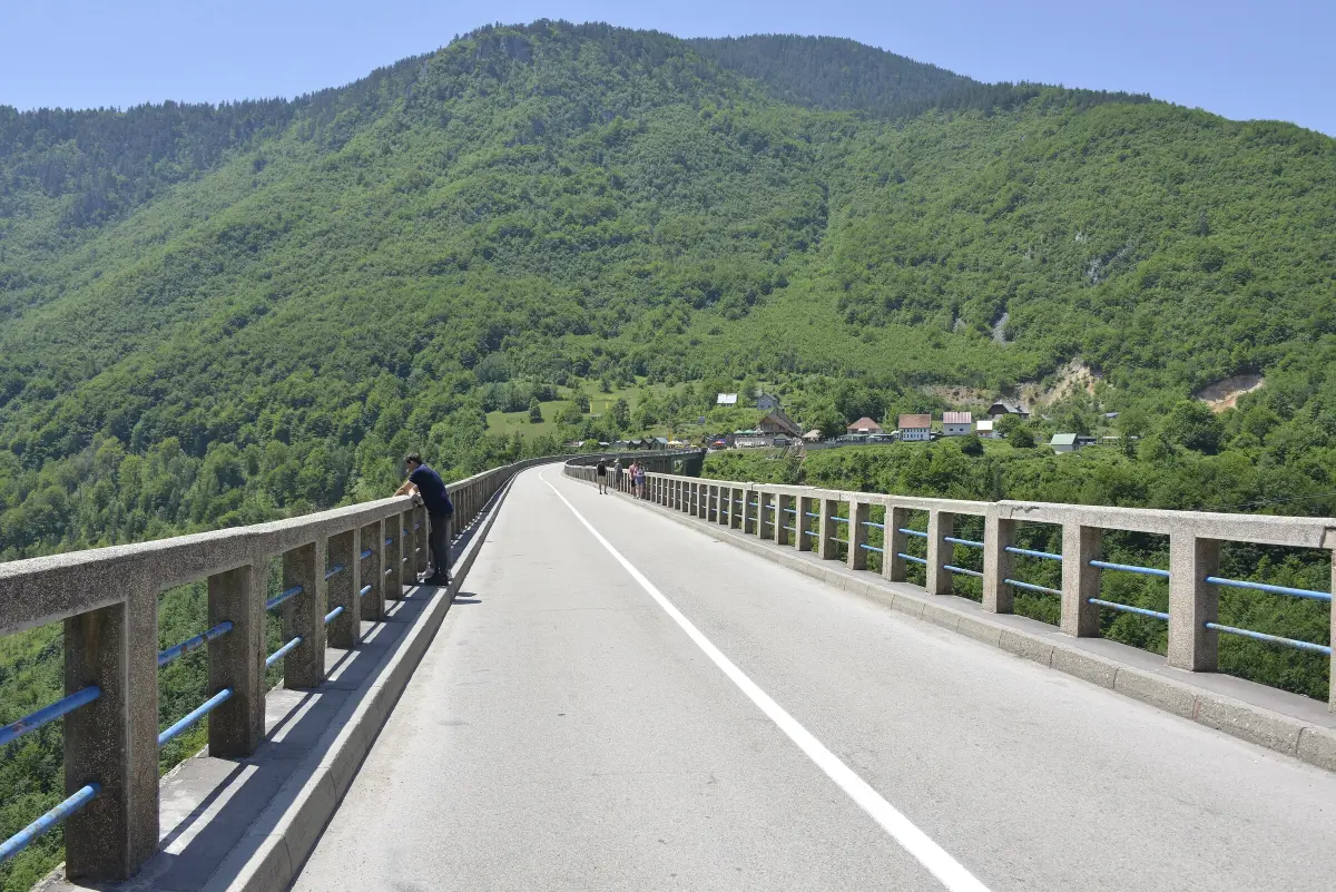
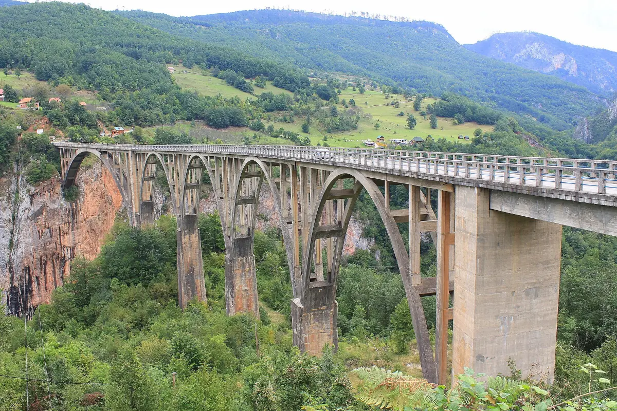
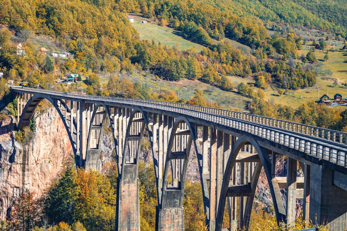
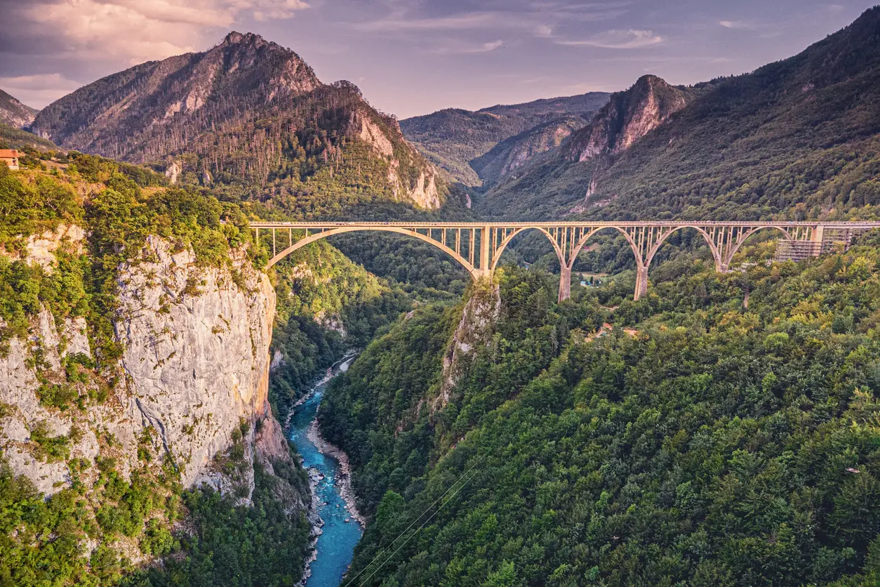
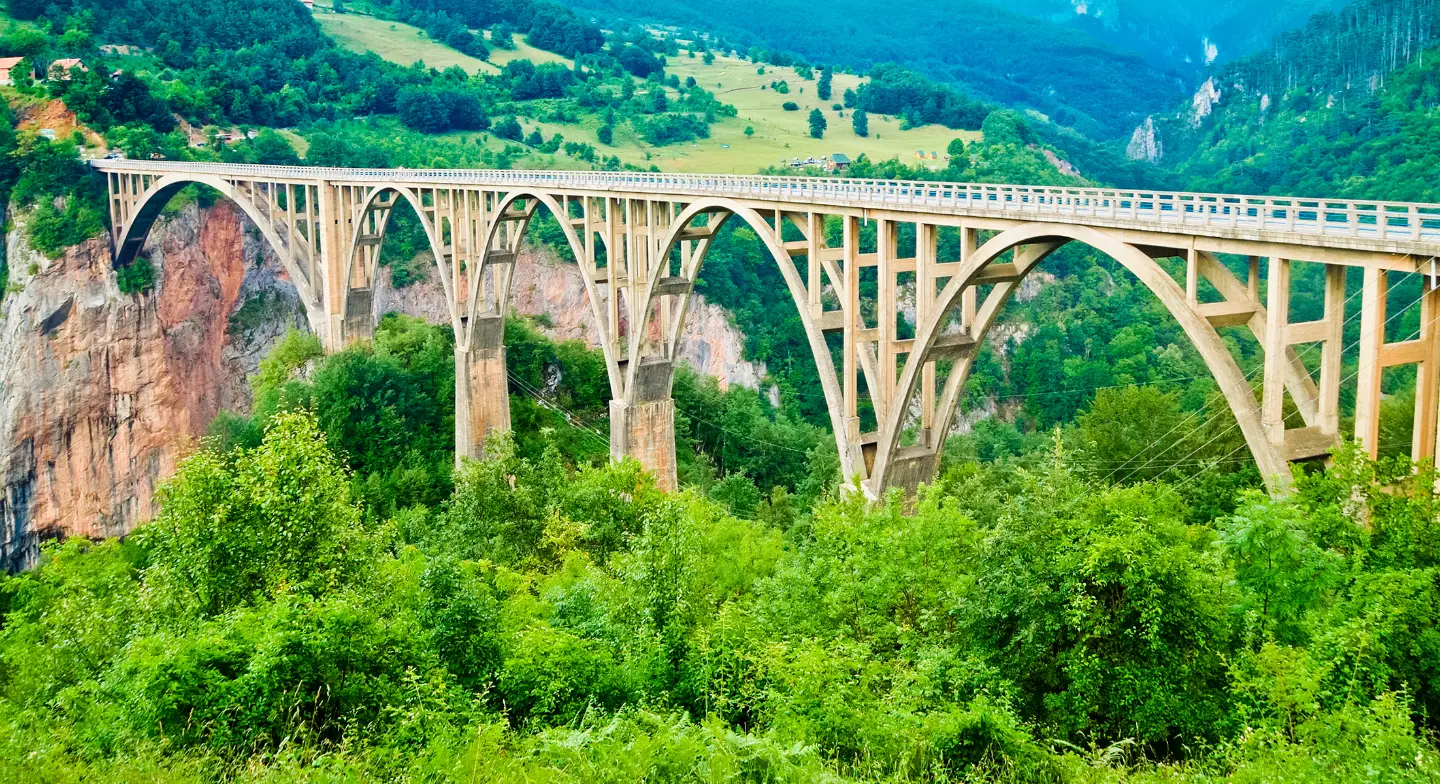
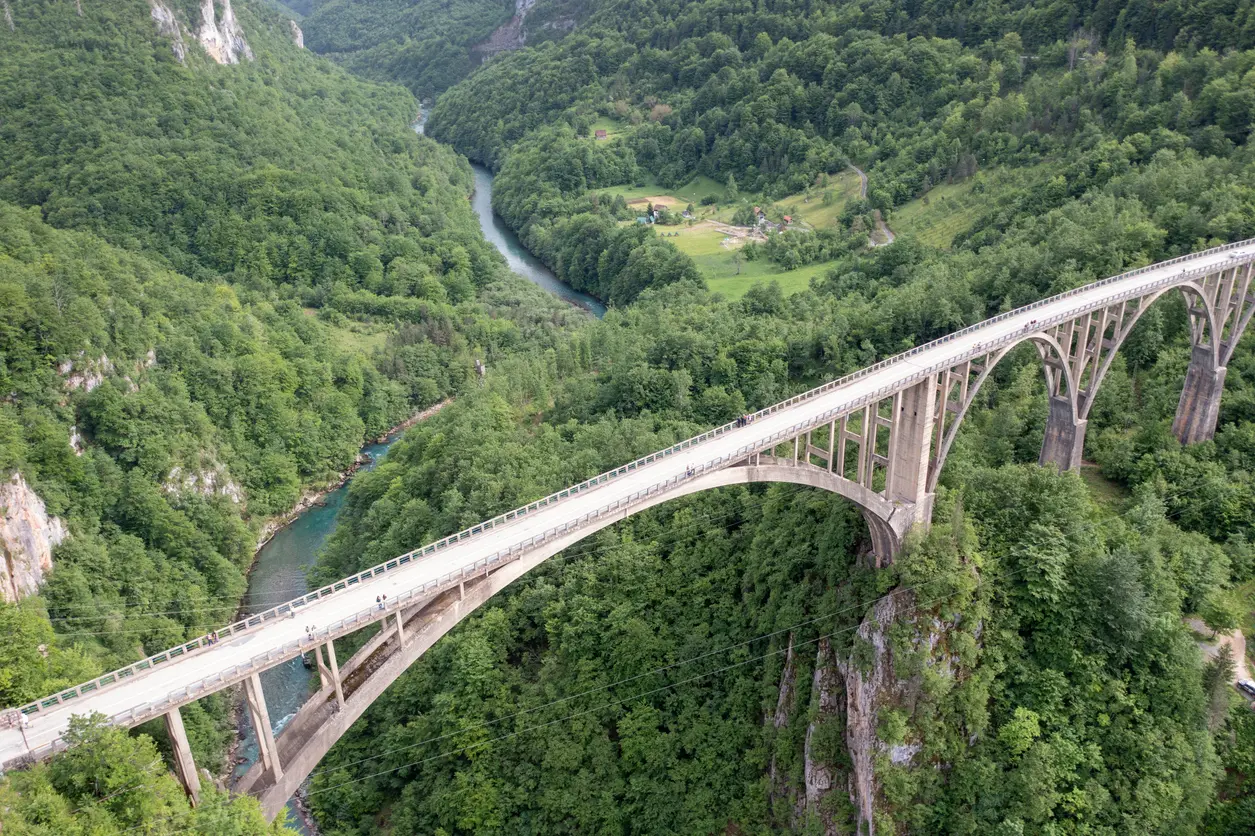
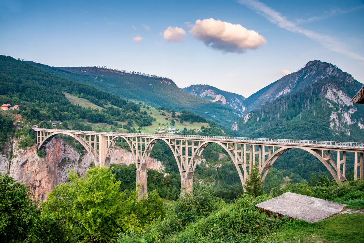
The concrete bridge with five arches was built between 1937 and 1940 to a design by engineer Mijat Trojanović. It is 365 metres long, its largest arch spans 116 metres, and the roadway is 172 metres above the Tara. When it was completed, it was the largest reinforced-concrete arch road bridge in Europe. The bridge links the roads to Žabljak, Pljevlja and Mojkovac, and from its walkway you look straight down into the canyon.
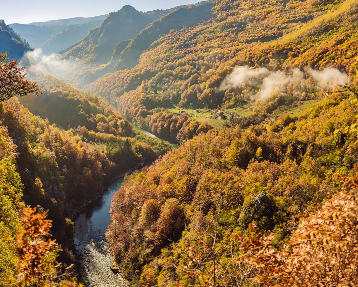
Durmitor National Park gives the depth as about 1,000 metres, and up to 1,300 in places. The Montenegro tourist board quotes a maximum depth of 1,333 metres, between Obzir and Štuoc. The canyon is 78 kilometres long, from the mouth of the Bistrica to Šćepan Polje, and ranks among the deepest in Europe.
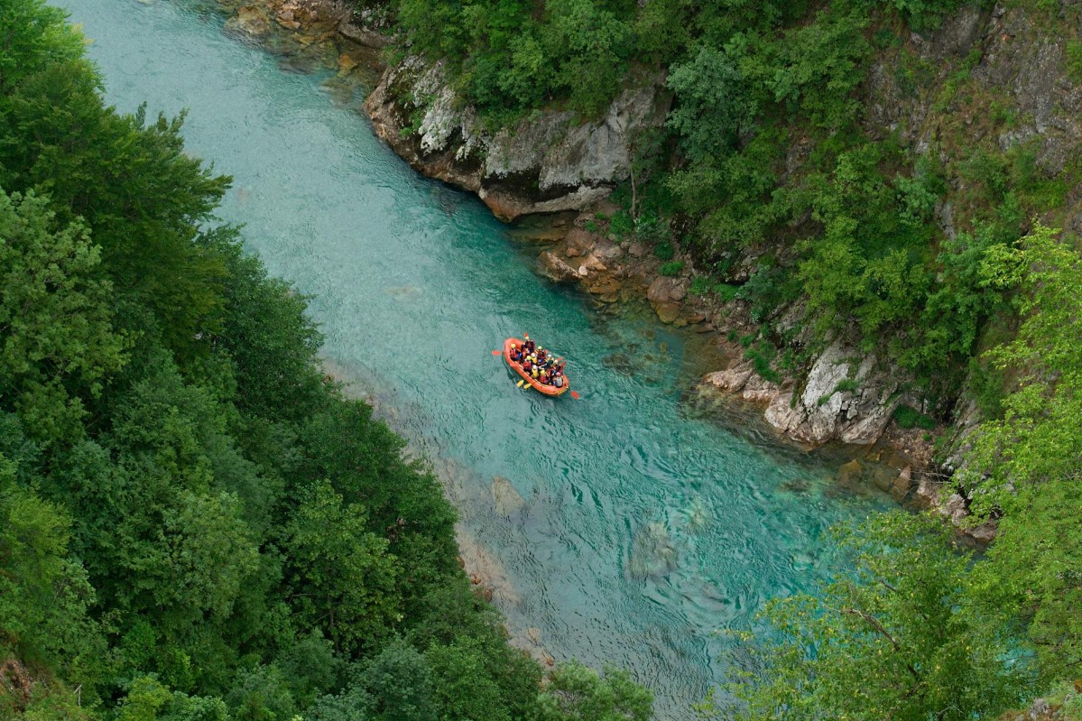
The most common trip is the one-day run from Brštanovica to Šćepan Polje, about 18 kilometres long. The last twenty or so kilometres of the river have 22 rapids, among them the Tepca and Brštanovica rapids, and on the way you pass the Sušica canyon and the Bilovića šige spring. Multi-day trips start below the Đurđevića Tara bridge. Rafting is only done with an operator, with helmet, buoyancy vest and suit.
Explore More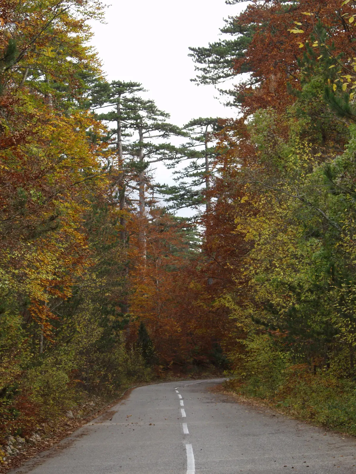
On the road from Mojkovac to the bridge you drive through Crna Poda, a black pine reserve in Durmitor National Park. The trees here grow to more than 40 metres and are on average about 400 years old. The forest can be seen from the road and from the river, on the stretch from the Bistrica towards Splavište.
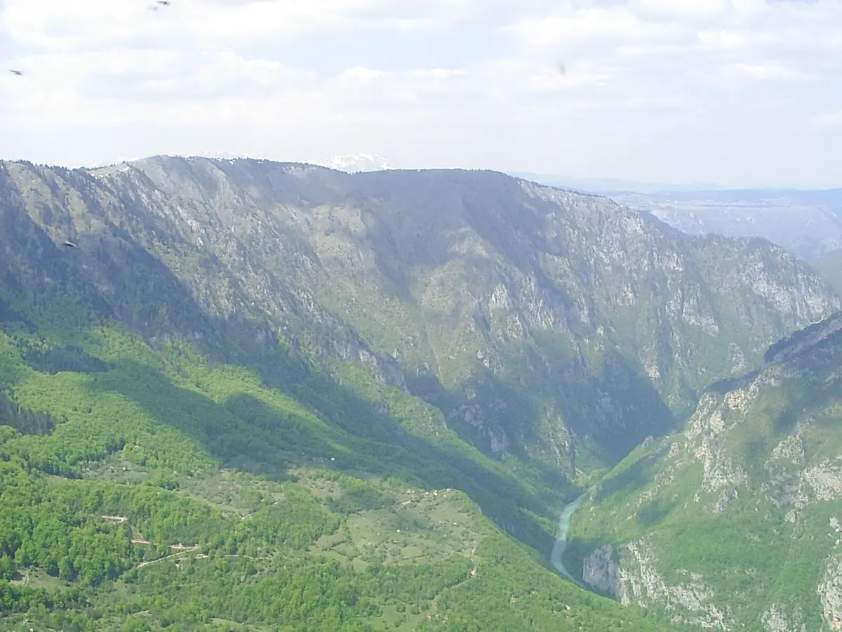
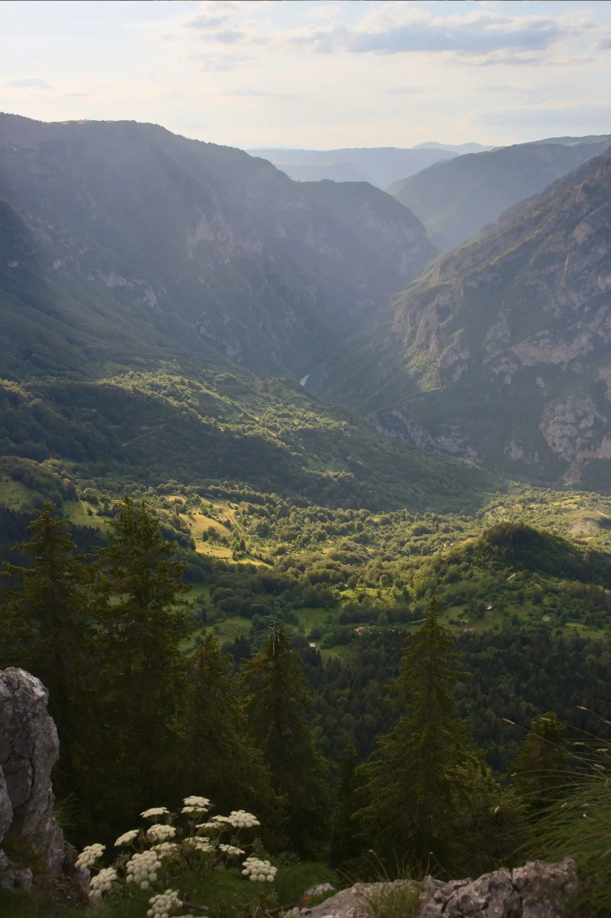
Ćurevac (1,625 m) is a summit on the rim of the canyon above the village of Tepca. From Žabljak, drive along the asphalt road towards Tepca and Nadgora to the car park at the park's toll barrier, then follow a trail of about 1.1 kilometres, allowing about an hour. The path is rocky and narrow in places, and slippery in the rain. From the top you look down on the Tara far below.

The Tara canyon is part of Durmitor National Park, inscribed on the UNESCO World Heritage List in 1980. The whole Tara basin, about 183,000 hectares, has been a biosphere reserve under UNESCO's Man and the Biosphere programme since 1977. Together with the Drina, the river is one of Europe's main habitats of the huchen (Danube salmon).
Explore MoreWhat to do
On the water
A one-day run from Brštanovica to Šćepan Polje or a multi-day trip from below the bridge, always with an operator.
Mountains
A 365-metre bridge 172 metres above the Tara, with the memorial to Lazar Jauković beside it.
Mountains
Two zip lines, 1,050 and 824 metres long, start near the bridge and run more than 150 metres above the canyon.
Mountains
A trail of about 1.1 km to the viewpoint at 1,625 m above Tepca, about an hour's walk.

On the water
After the run: pršut, kajmak, local cheeses and priganice in the camps by the river.
Hiking, walking and cycling routes that start here or pass nearby, with maps and GPX downloads.

A demanding one-way cycling route 398,8 km long, with a total ascent of 9352 m. It passes through Biogradska Gora National Park and Durmitor National Park, past Bijelo Polje, Kolašin, Nikšić and Žabljak.
399 km9,352 m5–8 days
View trailBiking Trail PV04 is a moderate cycling trail 36,3 km long in Durmitor National Park. It is ridden on asphalt/concrete and macadam, with a total ascent of 953 m and descent of 958 m; estimated riding time without breaks is 4 h 20 min.
36.3 km953 m3½–5 h
View trail
Top Biking Trail 4 – ENDLESS LANDSCAPES is a 413.5 km long, very demanding one-way cycling route. It passes through Durmitor National Park, past Žabljak, Kolašin, Podgorica and Danilovgrad, with 8,566 m of elevation gain.
413 km8,566 m5–8 days
View trailBiking Trail PV06 is an easy one-way cycling trail. It runs 13,4 km on gravel, with a total ascent of 279 m and passes two springs.
13.4 km279 m1–1½ h
View trail
A one-way mountain hiking tour from Žabljak to Biogradska gora passes through Durmitor National Park and past lakes and peaks. The trail is 78.8 km long, with a total ascent of 2501 m, and the estimated duration without breaks is 26 h 15 min.
78.8 km2,501 m3–5 days
View trail
Montenegrin Transversal 1 is a very demanding multi-day one-way hiking tour. It is 143.3 km long, with a total ascent of 5436 m and descent of 5187 m, and passes through two national parks.
143 km5,436 m6–9 days
View trailBiking Trail PV05 is an easy one-way cycling trail, 14.5 km long. It has 529 m of ascent and a predominantly asphalt surface, and the nearest town is Pljevlja.
14.5 km529 m1½–2 h
View trailCycling trail PV08 is 30.0 km long and rides in one direction. It has moderate difficulty, 747 m of ascent, and a surface that is 62% asphalt/concrete and 38% gravel.
30.0 km747 m3–4 h
View trailGallery
Plan Your Visit
Phone
+382 40 256 084Website
www.nparkovi.meThe canyon and the bridge are accessible all year. Rafting runs from April to October, booked with an operator.
Crossing the bridge is free. Rafting is paid to the operator and the Durmitor National Park fee separately – check current prices with the operator or the park.
There is parking at the Đurđevića Tara bridge and at the rafting camps; for Ćurevac, park at the national park toll barrier above Tepca.
The bridge and the viewpoint beside it are reached from the road. Rafting and the Ćurevac trail need basic fitness; the trail is rocky and narrow in places.
FAQ
Around here