Travel to Montenegro
Piva Canyon
Canyon – Plužine, Piva Nature Park

Piva Canyon

A road through 57 tunnels, Mratinje Dam and Lake Piva

Overview

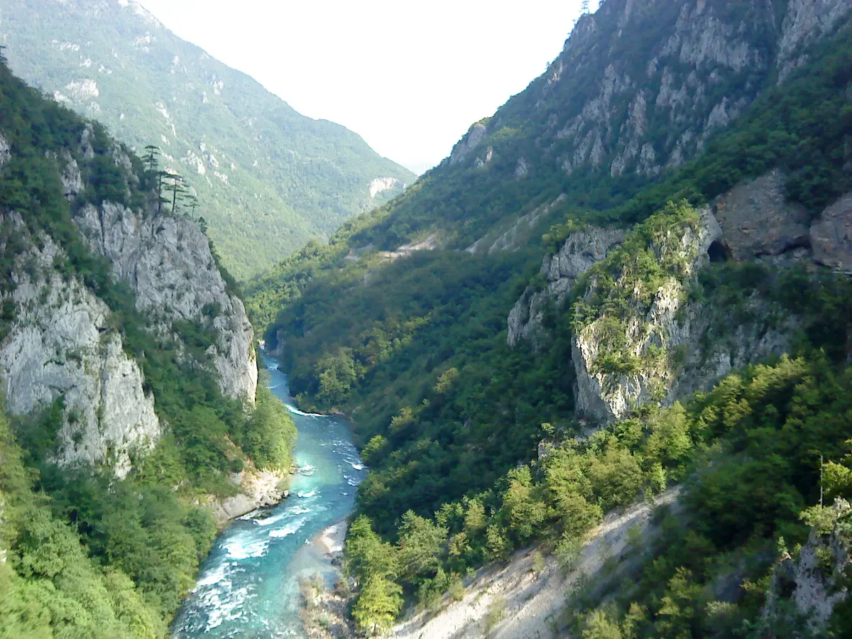
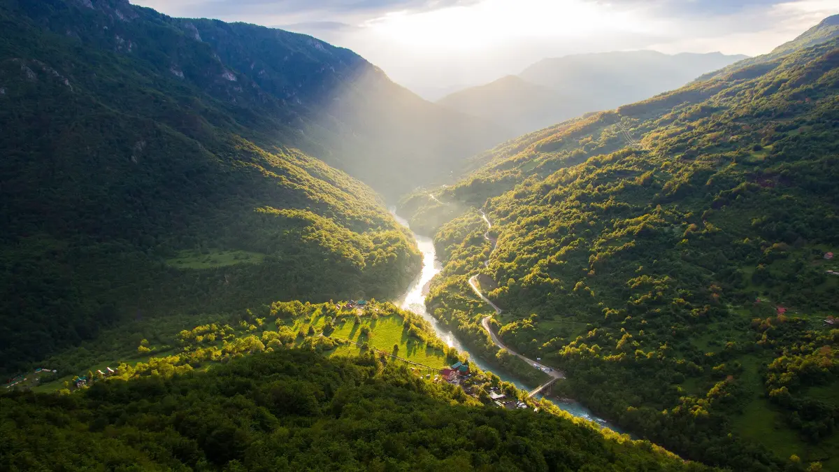
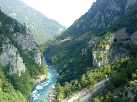
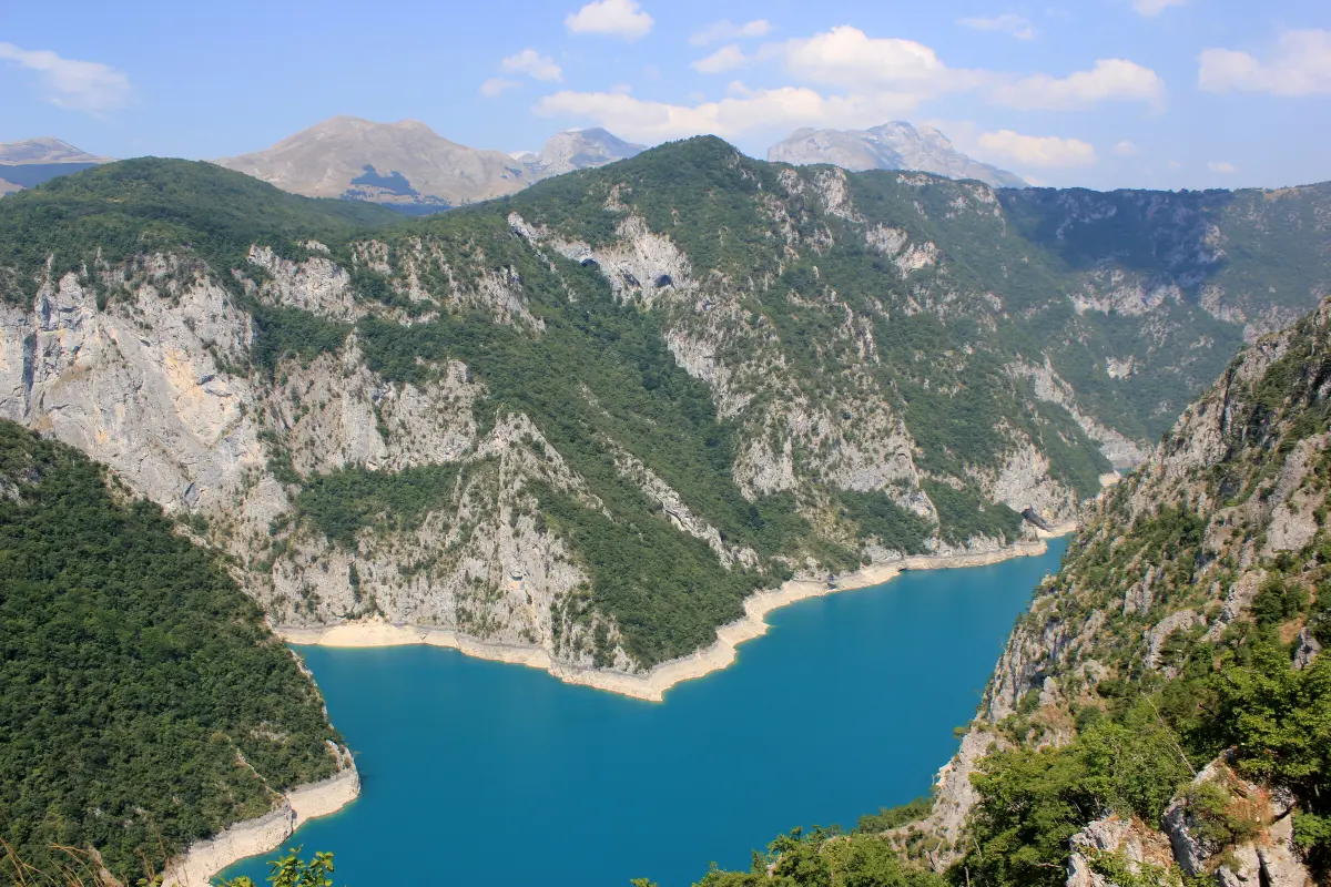
The Piva river has cut a canyon 33 kilometres long and up to 1,200 metres deep between the Bioč, Volujak, Maglić and Pivska Planina mountains.

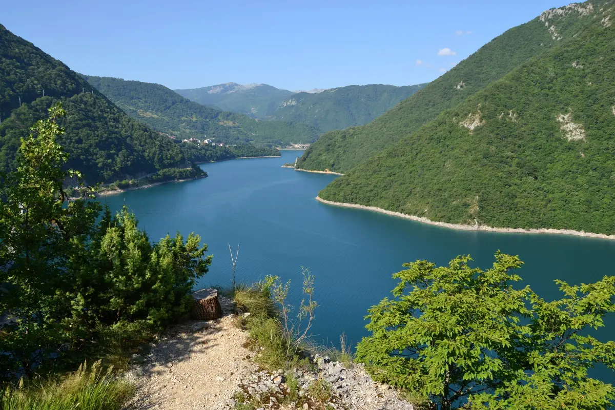
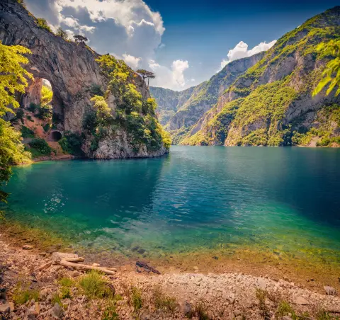
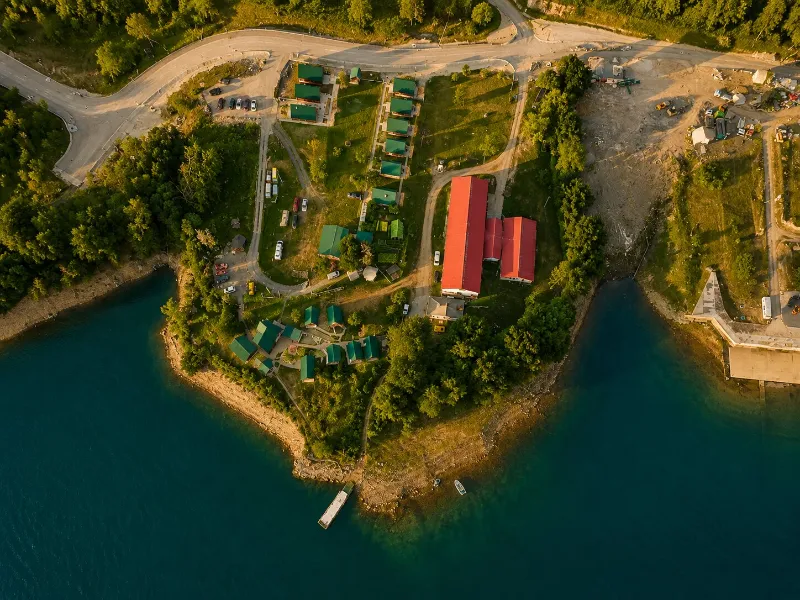
In 1975 the 220-metre Mratinje Dam closed the canyon and created Lake Piva, so most of the canyon is now driven high above turquoise water. The road from Plužine to Šćepan Polje, built in the 1970s for the hydroelectric plant, runs through 57 tunnels cut into the rock, across the top of the dam and on along the river to where the Piva joins the Tara to form the Drina.

  • Canyons
  • Lake Piva
  • Plužine
  • Scenic roads
  • Piva Nature Park
  • Northern Montenegro
Highlights

Discover Piva Canyon

The road through 57 tunnels

The road through 57 tunnels

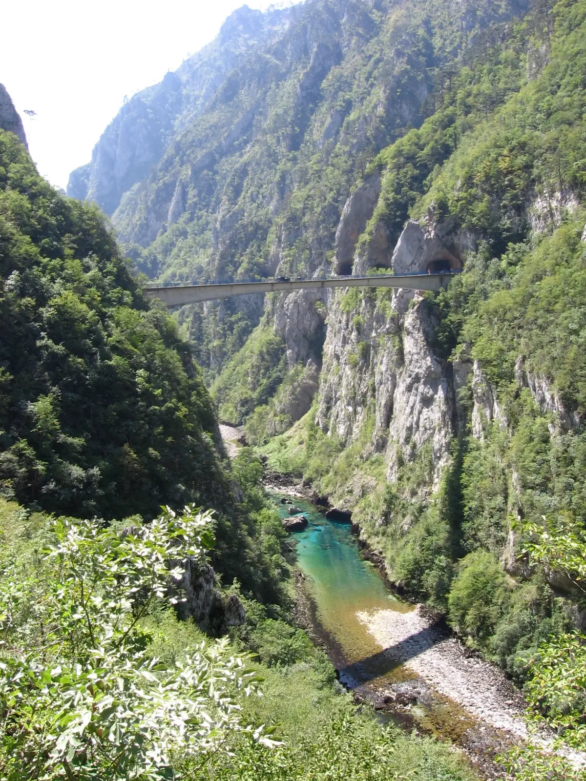
Between Plužine and Šćepan Polje, over 26 kilometres, the road passes through 57 tunnels totalling about 5.7 km. It was built in the 1970s for the Piva hydroelectric plant and cut into the canyon walls: the tunnels are short, narrow and mostly unlit, and in one of them the road even forks towards the village of Duži. The drive needs care, but the whole stretch is one long viewpoint.
Mratinje Dam

Mratinje Dam

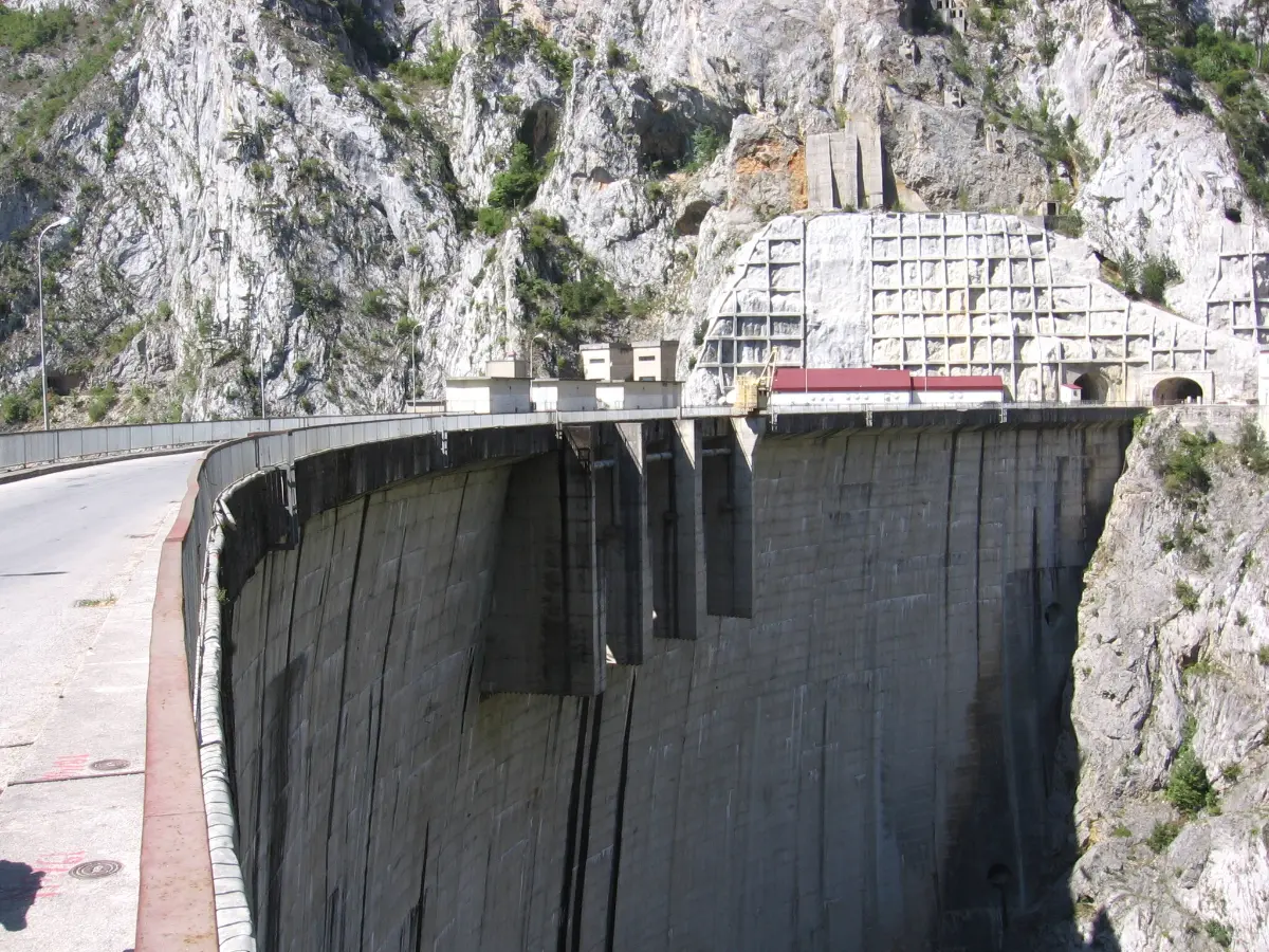
Completed in 1975, the concrete arch dam is 220 metres high and one of the highest in Europe. Its crest is 268 metres long, and about 820,000 m³ of concrete went into it. The road runs across the crest itself: the lake on one side, a drop to the Piva riverbed on the other. There is nowhere to stop on the dam, but just past it and a short tunnel there is a lay-by where you can park.

Lake Piva

Lake Piva

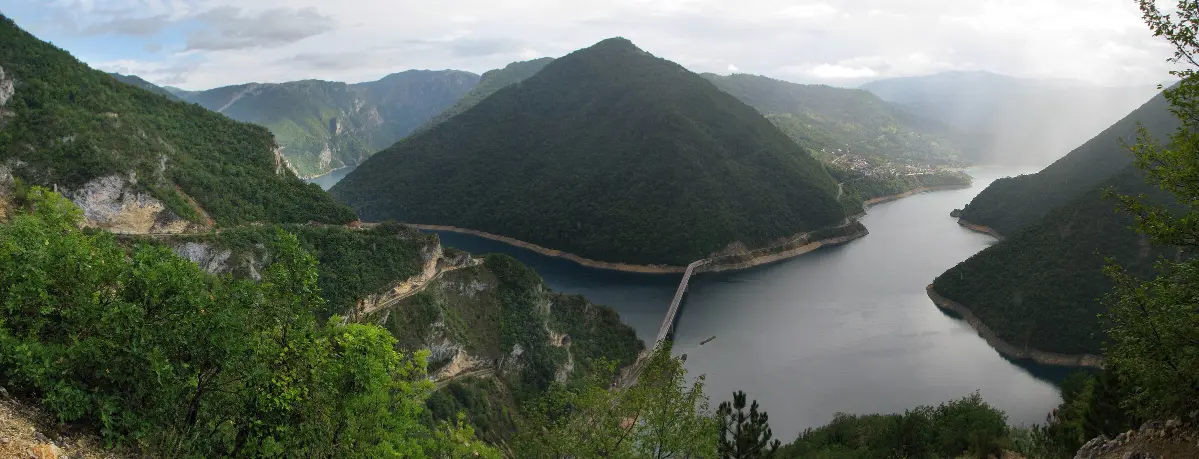
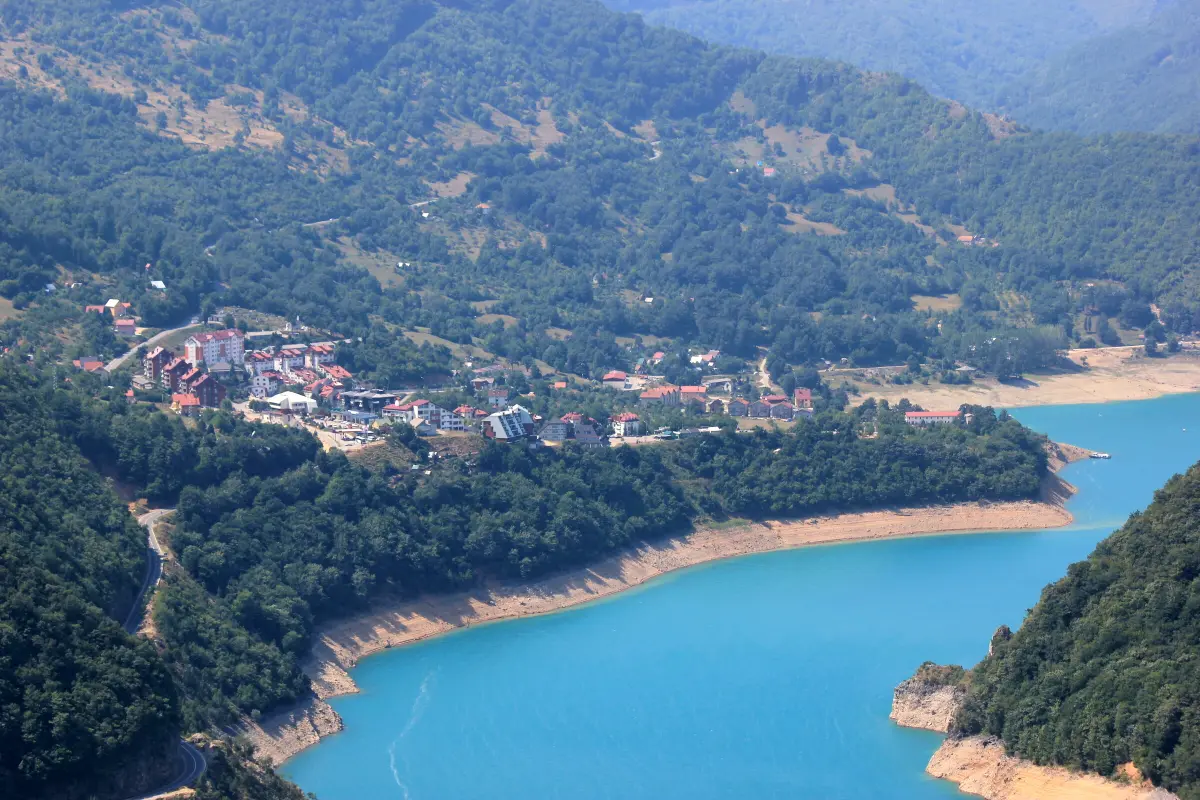
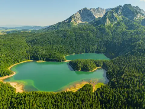
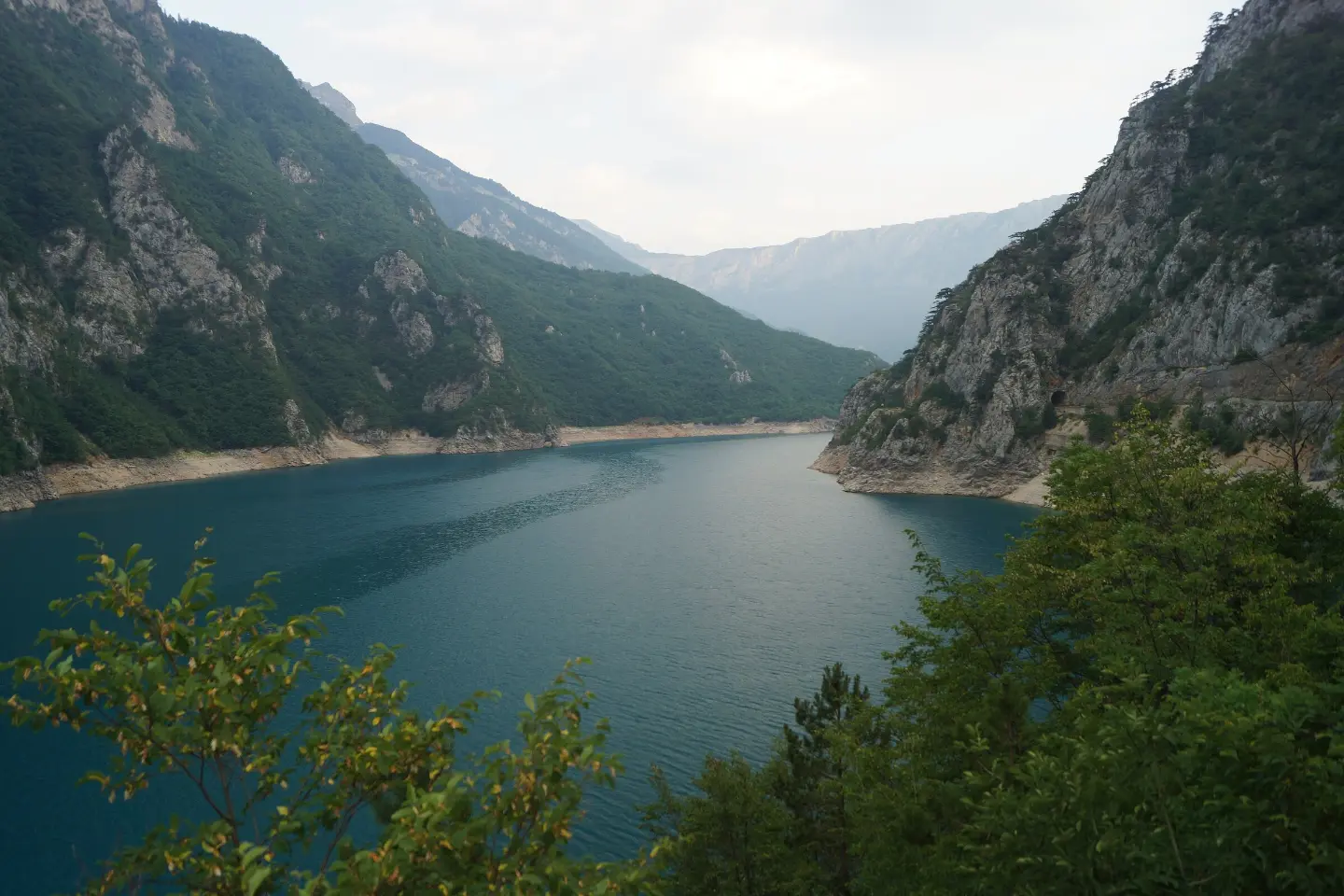
The dam flooded most of the canyon and created Lake Piva: 12.5 km² in area, about 45 km long and up to 188 metres deep, at 675 m above sea level. The turquoise water between steep cliffs is in view almost all the way from Plužine to the dam. The old settlement of Plužine lies at the bottom of the lake.

The canyon below the dam

The canyon below the dam

Downstream of the dam the Piva flows freely again, north through a narrow canyon. The road drops along the river through more tunnels, and in places the walls close in so tightly that the canyon feels like a gorge from the car. You can stop at lay-bys along the road to look down at the river.

Šćepan Polje: where the Drina begins

Šćepan Polje: where the Drina begins

At Šćepan Polje, on the border with Bosnia and Herzegovina, the Piva joins the Tara and together they form the Drina. There is a border crossing here too, so the canyon road is often driven by people heading to Foča and Sarajevo or entering Montenegro from that side.

Piva Monastery

Piva Monastery

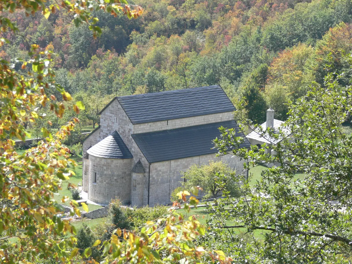
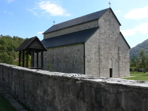
The 16th-century Piva Monastery stood on a site later flooded by the lake. Between 1969 and 1982 it was moved stone by stone, frescoes included, about 3.5 km away to safer ground. It is only a few kilometres from Plužine and easy to combine with a drive through the canyon.

Explore More
What to do

Activities in Piva Canyon

  • Driving the canyon

    Mountains

    Driving the canyon

    26 km from Plužine to Šćepan Polje, through 57 tunnels and across the Mratinje Dam.

  • Viewpoints above the lake

    Viewpoints above the lake

    Šupljača and other Piva Nature Park viewpoints look over the lake and the canyon.

  • Plužine and the lakeshore

    Plužine and the lakeshore

    A walk around the lakeside town, the starting point for the canyon.

Around here

Nearby places

  1. Trnovačko Lake

    Trnovačko Lake

    Lake · 9.8 km

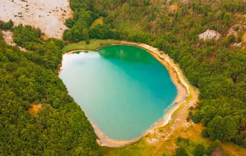
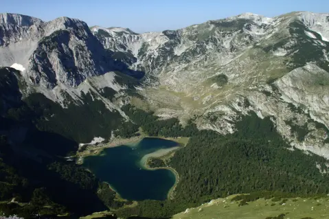
    A heart-shaped glacial lake at 1,517 m elevation, surrounded by the mountains Maglić, Volujak, and Bioč in the municipality of Plužine.

  2. Stabanska Lakes

    Stabanska Lakes

    Lake · 13 km

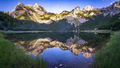
    Malo and Veliko Stabansko Lake at the foot of Mount Volujak – glacial lakes with greenish water rich in trout.

  3. Plužine

    Plužine

    City · 13 km

    A town on the shores of Piva Lake in northwestern Montenegro, surrounded by canyons and the mountains of Durmitor.

  4. Sušičko jezero

    Sušičko jezero

    Lake · 16 km

    Sušičko jezero in Durmitor National Park is unique in that it completely dries up every year during the summer months.

  5. Piva Monastery

    Piva Monastery

    Religious Site · 18 km

    Monastery with the Church of the Dormition of the Most Holy Theotokos, around 1,260 m² of frescoes and a rich treasury, moved stone by stone.

  6. Durmitor National Park

    Durmitor National Park

    National Park · 23 km

    Mountain massif in northwestern Montenegro with 48 peaks, 18 glacial lakes and one of the deepest canyons in Europe.

  7. Crno Jezero

    Crno Jezero

    Lake · 25 km

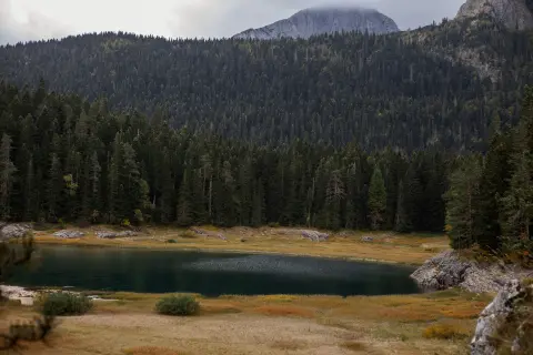
    The largest glacial lake of Durmitor, located 3 km from Žabljak at 1,418 m above sea level, surrounded by dense pine forest.

Tours & trips

Tours that pass this way

These tours pass this way – book directly with the local host.

Plan Your Visit

Weather & Useful Info

When to come

Monthly averages – Plužine.

  • Jan: Air (max) 4 °C
  • Feb: Air (max) 7 °C
  • Mar: Air (max) 8 °C
  • Apr: Air (max) 12 °C
  • May: Air (max) 19 °C
  • Jun: Air (max) 24 °C
  • Jul: Air (max) 27 °C
  • Aug: Air (max) 27 °C
  • Sep: Air (max) 21 °C
  • Oct: Air (max) 18 °C
  • Nov: Air (max) 11 °C
  • Dec: Air (max) 7 °C
Air (max)Best time to visit
Climate and weather – Plužine
It is at its best from late spring to early autumn, when the lake is full and turquoise and the road is dry. Summer brings the most traffic, so mornings are calmer. Autumn colours the forests on the cliffs. In winter, sections may be closed by snow.

Visitor tip

The road is narrow and the tunnels are short and mostly unlit: drive with your headlights on, slowly, and be ready to let oncoming traffic pass. Watch for fallen rocks, especially after rain. Don't stop in the tunnels or on the dam crest – use the lay-bys along the road for photos, such as the one just past the dam. In winter the road is sometimes closed by snow, so check conditions before you set off. If you are continuing into Bosnia and Herzegovina, bring your passport or ID card for the Šćepan Polje border crossing.

Good to know

Opening hours
The road is open all year, but it is sometimes closed by snow in winter – check conditions before you go.
Admission
There is no charge to drive through the canyon.
Parking
At lay-bys along the road and just past the Mratinje Dam; don't stop in the tunnels or on the dam crest.
Accessibility
The canyon is seen from the car and from roadside viewpoints; walking along the tunnel road itself is not advisable because of traffic.

Getting Here

By Plane

The nearest airport is Podgorica, followed by Tivat and Sarajevo. From the airport continue by hire car via Nikšić and Plužine.

By Car

From Podgorica via Nikšić to Plužine, then along the main road towards Šćepan Polje through the canyon (26 km to the border). From Žabljak you reach Plužine via Trsa or the Sedlo pass. From Bosnia and Herzegovina you enter through the Šćepan Polje border crossing.

By Bus

Buses between Podgorica, Nikšić and Plužine, and services towards Foča and Sarajevo, pass through the canyon, but they don't stop at viewpoints. A car is better for sightseeing.

Open in Google Maps
Day plan

Suggested Itineraries

Half a day: from Plužine through the canyon to Šćepan Polje

  1. Day 1 · Plužine, Mratinje Dam, Šćepan Polje

    Lake, dam and tunnels

    In the morning visit Piva Monastery, a few kilometres from Plužine, then walk down to the lakeshore in town. Head out on the main road towards Šćepan Polje: it follows the lake high above the water and passes through a string of short tunnels. Cross the crest of the Mratinje Dam and stop at the lay-by just past it to look back at the dam and the canyon. Continue down the canyon along the Piva to Šćepan Polje, where the Piva and the Tara meet to form the Drina, then return the same way or carry on across the border.
FAQ

Frequently Asked Questions

According to the road company Crna Gora put, there are 57 tunnels between Plužine and Šćepan Polje, 5.7 km in total. Some guides say 56 – the difference depends on what is counted as a separate tunnel.

The road is paved but narrow, with unlit tunnels and unprotected rock slopes in places. Drive slowly with your headlights on and don't stop in the tunnels. In winter the road is sometimes closed by snow.

You drive across the dam, but there is no parking on the crest itself. Just past the dam and a short tunnel there is a lay-by where you can leave the car and walk back.

No. It was created in 1975 when the Mratinje Dam closed the Piva canyon. It is up to 188 m deep, and the old settlement of Plužine lies under its water.

The whole road from Plužine to the dam overlooks the lake. Piva Nature Park highlights the Kruška, Šupljača, Babina Greda and Sumorova Gora viewpoints; Šupljača is beside the Plužine – Trsa road and looks over the lake and Plužine.

At Šćepan Polje, on the border with Bosnia and Herzegovina, the Piva joins the Tara and together they form the Drina. The Tara canyon begins to the east of there.