Travel to Montenegro
Lake Skadar and the Crmnica wine road: an audio drive
Free audio guide

Lake Skadar and the Crmnica wine roadAn audio drive

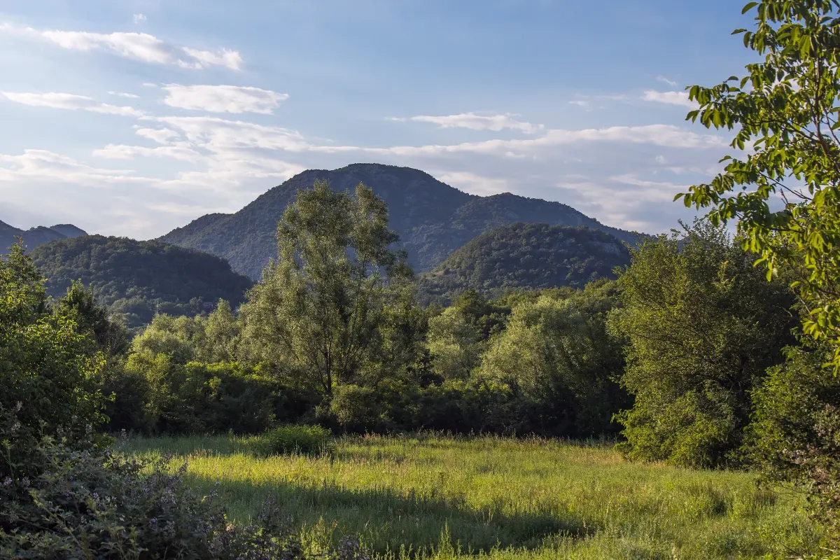
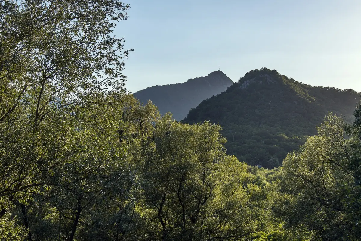
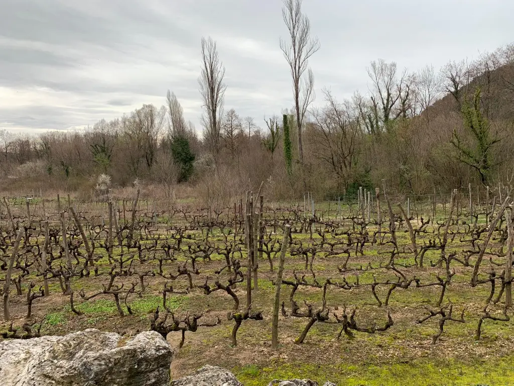
From Virpazar through the wine villages of Crmnica to Rijeka Crnojevića, Pavlova Strana and Karuč

  • Free · no app needed
  • 2 languagesME · EN
  • Easy walk
by car
180 min
route
⁨53.8 km⁩
stops
12
of audio
17 min
Overview

A self-guided audio drive through Crmnica, the cradle of vranac, and along the old road above Lake Skadar: Virpazar and Besac Fortress, the monastery at Brčeli, the mill village of Poseljani, Rijeka Crnojevića and Danilo's bridge, the Pavlova Strana viewpoint, the wine villages of the Riječka nahija and Karuč. Twelve stops, about fifty-four kilometres, with the story of vranac and kratošija and the family wineries along the way.

How it works

  1. Download, then press start

    Save the tour over Wi-Fi before you set off – mountain roads lose signal. Choose “Driving” and connect the phone to the car or use headphones.

  2. Drive at your own pace

    Each stop starts by itself as you approach it. If one is still playing, the next waits until it ends – nothing is cut off.

  3. Hands on the wheel

    Big buttons, the screen stays on, and the steering-wheel or headphone buttons play, pause and skip.

Route

The drive on the map

The tour starts at Virpazar, centre by the bridge. Tap a number to play that stop.

Stop by stop

12 stops on the way

Listen, or read the full narration of every stop below.

Before you start

Welcome

Welcome to the audio drive Lake Skadar and the Crmnica wine road. We start in Virpazar, go through the wine villages of Crmnica, then follow the old road above the lake to Rijeka Crnojevića, the Pavlova Strana viewpoint and the fishing village of Karuč. The main route is about fifty-four kilometres. Without stops it takes about two hours of driving; with stops and a tasting, plan on a full day. Godinje and Limljani are short detours you can skip. The stories play by themselves as you approach each stop. If you are driving, leave the phone alone. The lake roads are narrow and winding, so only stop in the pull-outs and car parks we mention. And the most important thing: this is a wine road. In Montenegro the legal limit for drivers is zero point three grams of alcohol per litre of blood, and zero for young and novice drivers. Agree on who drives, and let the driver take their tasting home in a bottle. The wineries are family homes, so call them the day before.
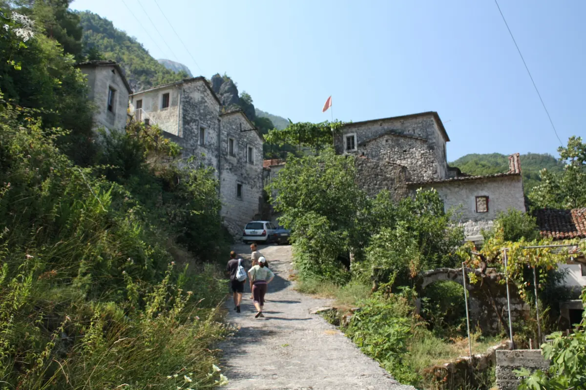
  1. Virpazar and Besac Fortress1
    Stop 11:19

    Virpazar and Besac Fortress

    You are in Virpazar, where the Crmnica river flows into Lake Skadar. The name itself contains the word pazar, a market: this is where the Crmnica valley met the lake. Above the village stands Besac Fortress. Most sources say the Ottomans built it at the end of the fifteenth century, after the fall of Zeta, to control the lake. Montenegrins took it at the beginning of the eighteenth century, and in the Second World War the Italians used it as a prison. A footpath leads up to it from the village. On the rock in the centre is a monument from nineteen sixty-three. It remembers the thirteenth of July, nineteen forty-one, when insurgents from Godinje, Seoca, Boljevići, Krnjice and Virpazar attacked the Italian garrison here and took it, on the first day of the Thirteenth of July Uprising. Virpazar also had Montenegro's first railway. A narrow-gauge line from Bar opened in nineteen-oh-eight and closed in nineteen fifty-nine. Today boats leave the harbour for trips on the lake, and parking in the centre is free. At the end of winter the village holds the Wine and Bleak Festival, when Crmnica winemakers pour their vranac at stands along the street.

    On to the next stop (⁨2.6 km⁩): If you are going to Godinje, take the lake road towards Ostros for about four kilometres. If you are skipping it, take the main road towards Petrovac, into the Crmnica valley.

  2. Godinje, the village above the lake2
    Stop 21:17Optional

    Godinje, the village above the lake

    Ahead of you is Godinje, an old village on the slope above the lake. The houses are built tight against each other with passages running through them, so you could once walk from the first house to the last without stepping into the open. Local tradition says this was protection during Ottoman raids. For centuries the village was home to the Leković and Nikač clans, and men from Godinje were among the insurgents who attacked Virpazar in nineteen forty-one. Godinje is also linked with the Balšić dynasty. Balša the Third stayed here during his wars with Venice in the early fifteenth century. This is a wine village too. Garnet Winery belongs to the Leković family. Miško and Maja, the thirteenth generation, make vranac and chardonnay inside the national park, and tastings are held on a terrace beside the oldest house in the village, from April to November, by reservation only. Below the village, on a small island in the lake, you can see Grmožur Fortress. The Ottomans built it in eighteen forty-three, and it later served as a prison. The story goes that only prisoners who could not swim were sent there. The village is best seen on foot. Leave the car where it does not block the narrow road.

    On to the next stop (⁨4.1 km⁩): Go back the same way to Virpazar. For Limljani take the old road towards Bar; for the main route take the main road towards Petrovac.

  3. Boljevići and Limljani: the road on the old railway3
    Stop 31:14Optional

    Boljevići and Limljani: the road on the old railway

    This road from Virpazar towards Bar has an unusual past. It follows the bed of the old narrow-gauge railway from Bar to Virpazar. Construction began in nineteen-oh-five, trains ran until nineteen fifty-nine, and then the line was turned into a road. That is why the gradient is gentle and the bends are as wide as a train needs. You have passed through Boljevići. Its people, too, were among the insurgents who attacked the Italian garrison in Virpazar on the thirteenth of July, nineteen forty-one. Limljani is a village about two hundred and twenty metres above the sea. Here the Klisić family grows about four hectares of vines: vranac, kratošija, cabernet sauvignon, Italian muscat and the native lisičina. They offer tastings, meals made mostly from their own produce, cooking classes and two rooms. In season guests can join the pruning, the harvest in September and October, and the rakija-making in October. Around the lake and in Crmnica farmers also grow the Crmnica onion, a mild, sweet red onion that Slow Food lists on its Ark of Taste. From seed to bulb it takes three years.

    On to the next stop (⁨6 km⁩): Go back the same way to Virpazar, about twelve kilometres, and take the main road towards Petrovac, into the Crmnica valley.

  4. Crmnica, the cradle of vranac4
    Stop 41:26

    Crmnica, the cradle of vranac

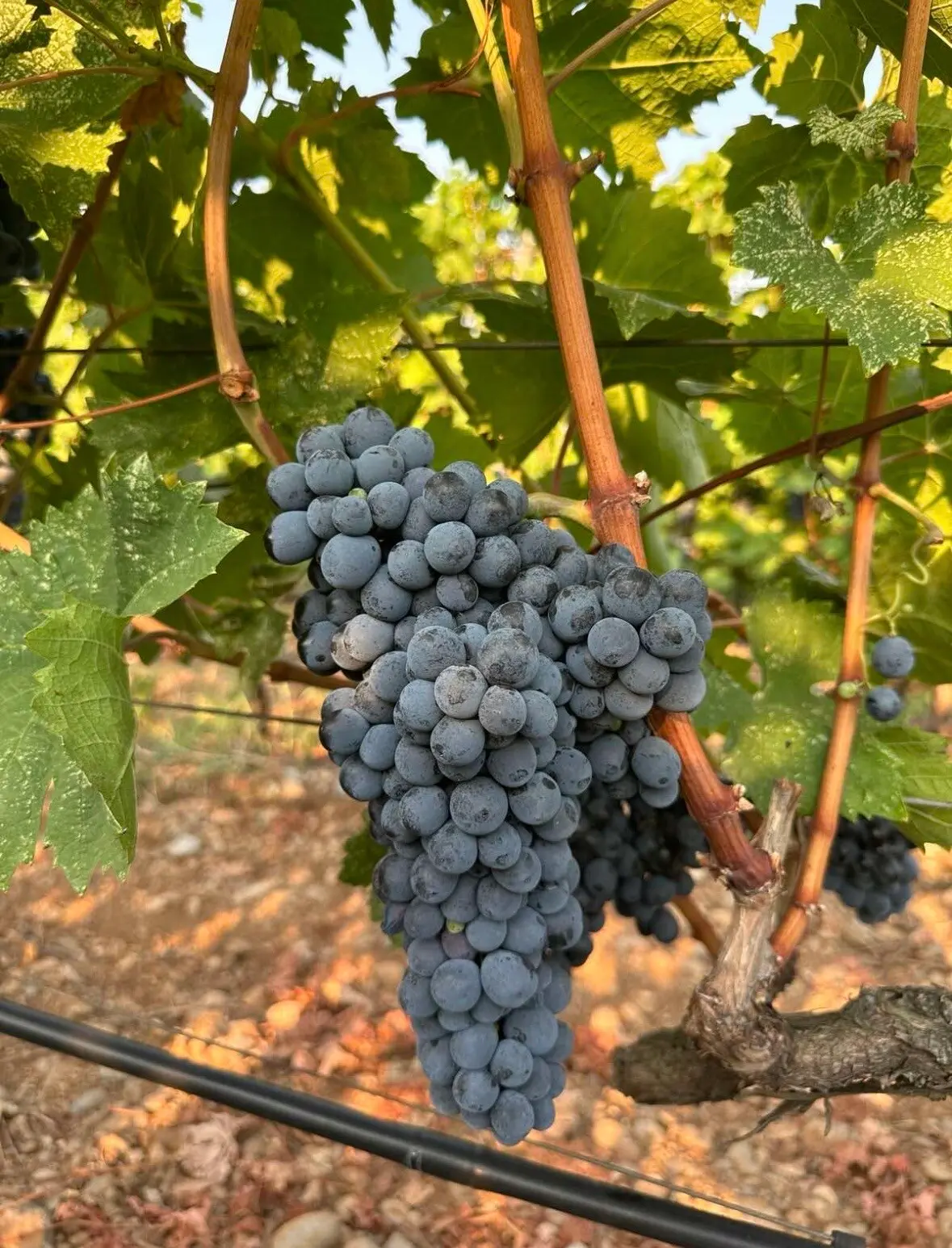
    You are entering Crmnica, the valley that runs down from the coastal mountains to Virpazar. This is where vranac comes from, Montenegro's own black grape and red wine. It was first described by Mitar Plamenac in eighteen ninety-one. Today we know its parents too. A genetic study published in twenty twenty showed that vranac is the offspring of kratošija and duljenga. Kratošija is an old variety from this coast, the same grape Americans call zinfandel and Italians call primitivo. Duljenga is a rare local variety. Vranac now covers about half of Montenegro's vineyards. Much of it grows on large plantations near Podgorica, but in Crmnica it is still a family affair: almost every village has its cellars, and many houses pour their own wine at their own table. The harvest begins in mid-September and runs through October, and Virpazar marks its start with a grape festival in September. A moment ago you passed Virpazar railway station. That is where the Mašanović family has its cellar; they have made wine for more than ten generations. They blend vranac with marselan, cabernet and kratošija, and serve it at tastings with pršut, cheese and marinated carp. Book at least a day ahead. You will pass the cellar again on the way back.

    On to the next stop (⁨5 km⁩): Carry on along the main road through Sotonići. After about five kilometres a road branches off to the right for Donji Brčeli; the monastery is in the village.

  5. Brčeli: the monastery and Šćepan Mali5
    Stop 51:23

    Brčeli: the monastery and Šćepan Mali

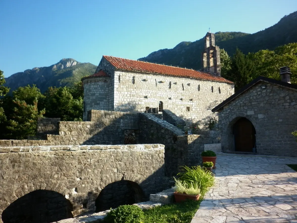
    In Donji Brčeli stands the monastery of Saint Nicholas. It dates from the fifteenth century, and its founding is attributed to Jelena Balšić. Prince Nikola restored it in eighteen sixty-one. This church is the burial place of Šćepan Mali, one of the strangest figures in Montenegrin history. He was a newcomer of unknown origin who claimed to be the Russian tsar Peter the Third, and from seventeen sixty-seven until his death in seventeen seventy-three he ruled Montenegro. Beneath the church floor is a vaulted room which is believed to have served as a dungeon in his time. Brčeli is also a wine village. The Kopitović family has lived here since the fifteenth century, and their house cellar is more than three hundred years old. They make six wines, and one of the reds is called Šćepan Mali. Tastings are held in the family house with home cooking, and need to be booked. Higher up, in Bukovik, the Rajković family runs Buk Winery, with vineyards between two hundred and seventy and seven hundred metres. And a little further on, in Građani, Lipovac Winery keeps finds of amphorae from the third century before Christ and a cellar dug ten metres underground.

    On to the next stop (⁨6.5 km⁩): Turn around in a safe place and drive back along the main road to Virpazar, about nine kilometres. In Virpazar, right after the bridge, turn left onto the narrow road towards Rijeka Crnojevića.

  6. Above Lake Skadar6
    Stop 61:21

    Above Lake Skadar

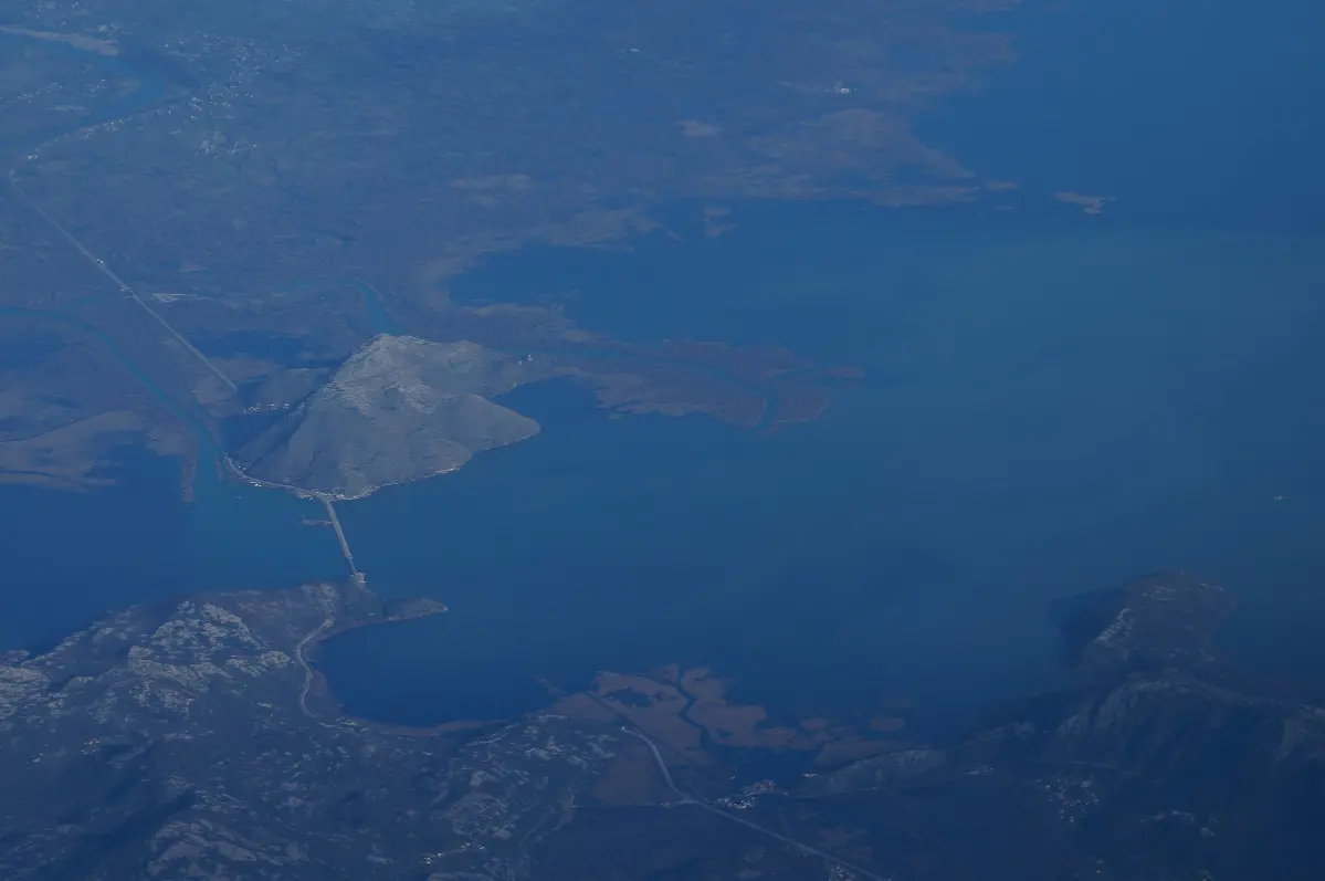
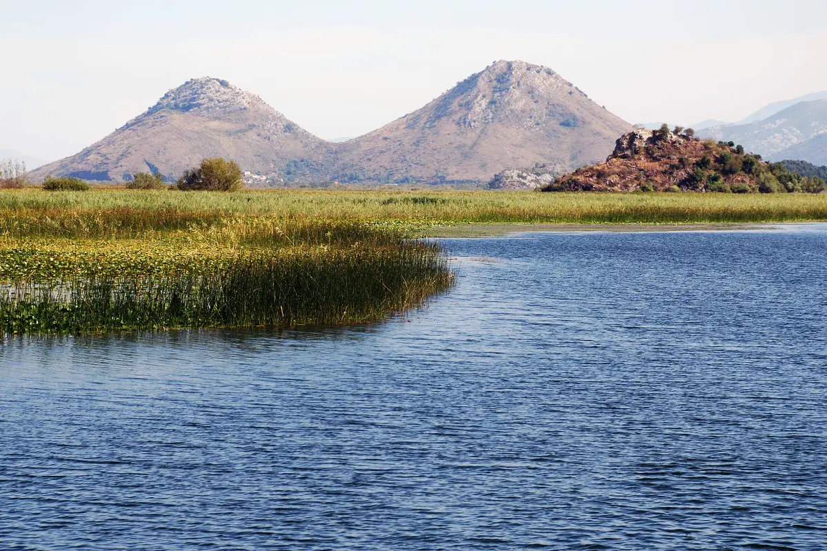
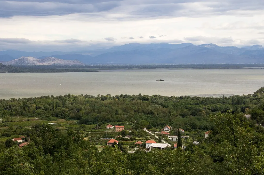
    You are now on the old road between Virpazar and Rijeka Crnojevića, once a caravan route. Below you is Lake Skadar, the largest lake in the Balkans, which Montenegro shares with Albania. In summer it covers about three hundred and seventy square kilometres, and in winter it spreads to as much as five hundred and forty. The Montenegrin part has been a national park since nineteen eighty-three, and the lake is on the Ramsar list of wetlands of international importance. Around two hundred and eighty bird species have been recorded here. The best known is the Dalmatian pelican, which keeps some of its last colonies in Europe on this lake. To the east, at Vranjina, the road and railway to Podgorica cross the lake. That is also where Lesendro Fortress stands, which the Ottomans took from Njegoš in eighteen forty-three. In summer much of the shore is covered in white and yellow water lilies. Fish have always fed these villages, and the best known is the ukljeva, a small silver bleak that lives only in the basins of Lake Skadar and Lake Ohrid. It is now protected and may only be caught from November to mid-March. The road is narrow, with few places to pass. If you want a photo, stop only in a pull-out, never on a bend.

    On to the next stop (⁨6 km⁩): Carry on for about nine kilometres through Kruševica and Komarno. The Poseljani stop is by a small pull-out next to a roadside monument.

  7. Poseljani, the village of mills7
    Stop 71:17

    Poseljani, the village of mills

    Below the road, in a steep cove running down to the lake, lies Poseljani. This was once an important place. The stream that falls into the lake here drove some fifteen mills, and grain from the villages on both sides of the hill was ground here. People came to the village by land and by boat. When the mills were no longer needed, the village emptied almost completely. All that is left of the mills are stone walls covered in ivy. In recent years some families have come back, for good or for weekends. The water is still here. The biggest waterfall is at the top of the village, and further down there are smaller cascades and little stone bridges. In spring and after rain the stream is at its strongest. If you want to walk down, a stone path starts by the road and is not well marked. The descent is steep, so wear good shoes and remember that you will be climbing back up. If you are just passing, enjoy the view and drive on. Caravans once travelled this road between Crmnica and Rijeka Crnojevića. Today it is one of the most beautiful roads along the lake, but it is slow: count on about forty kilometres an hour.

    On to the next stop (⁨4.4 km⁩): Carry on for about seven and a half kilometres. The road climbs through Riječani and opens a view over the valley of Rijeka Crnojevića.

  8. The valley of the Crnojevićs8
    Stop 81:07

    The valley of the Crnojevićs

    Ahead of you opens the valley of a river named after a family, the Crnojevićs, who ruled Zeta in the fifteenth century. Ivan Crnojević ruled from fourteen sixty-five to fourteen ninety. His capital was Žabljak, where the Morača river enters the lake. When the Ottomans took Žabljak in fourteen seventy-eight, Ivan withdrew here, to Obod above the river, which he had fortified a few years earlier. Some years later he moved on up to Cetinje and built a monastery there. His son Đurađ founded a printing house, which in fourteen ninety-four produced the Octoechos, the first book printed in Cyrillic among the South Slavs. Most historians place the press in Cetinje, while local tradition links it with Obod, above the village you are now descending to. The river itself is only about twelve kilometres long. It rises from under a cave in Obod hill, not far from the village, and flows into Lake Skadar, whose water reaches the Adriatic through the Bojana river. The road now winds down in hairpins. Drive slowly; you can park in the village.

    On to the next stop (⁨2.2 km⁩): Drive down about three kilometres to Rijeka Crnojevića, park in the village and walk to the old bridge.

  9. Rijeka Crnojevića and Danilo's bridge9
    Stop 91:16

    Rijeka Crnojevića and Danilo's bridge

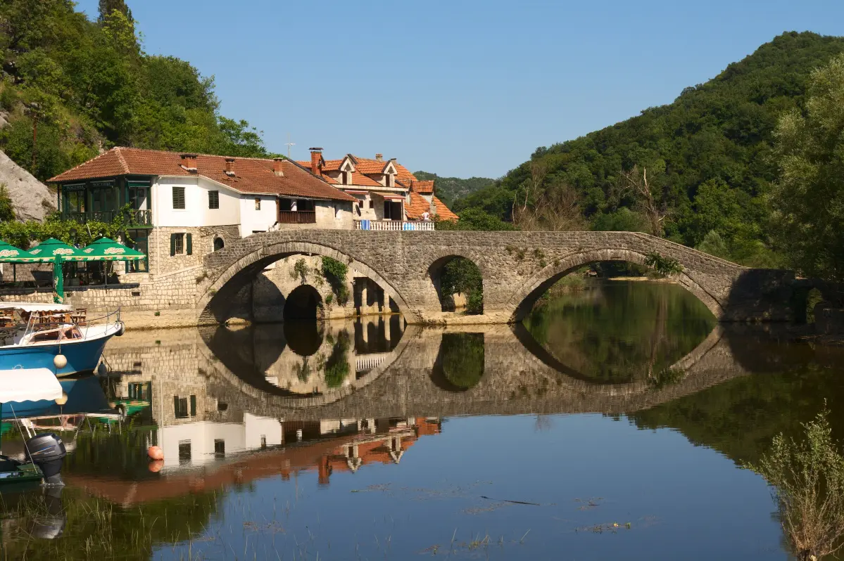
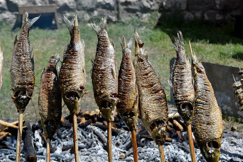
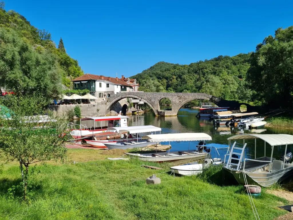
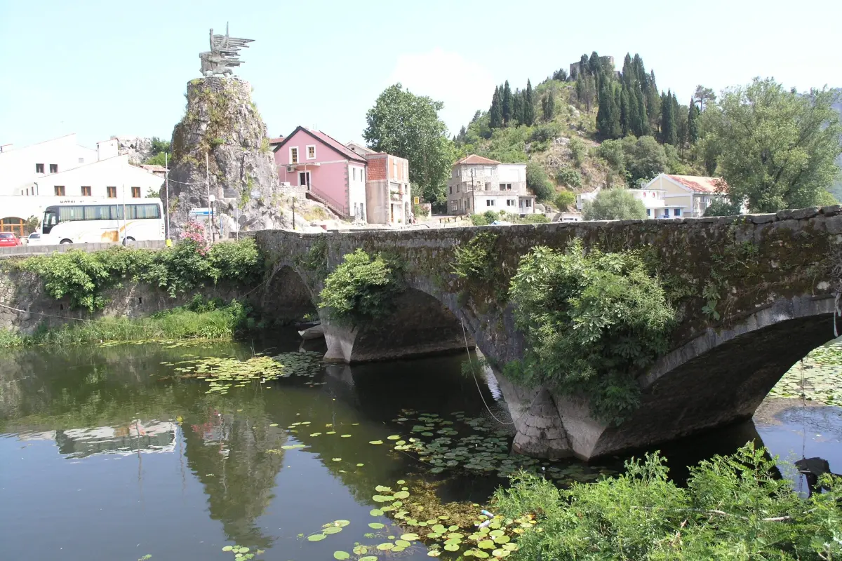
    Welcome to Rijeka Crnojevića. The arched stone bridge was built by Prince Danilo in eighteen fifty-three, in memory of his father Stanko Petrović. It replaced a wooden bridge put up earlier by Petar the Second Petrović Njegoš. Beside the bridge, on the left bank, Danilo also built a house known as the Mostina. The oldest surviving building in the village is the house of Saint Peter of Cetinje. In the nineteenth and early twentieth century this was Montenegro's largest port and trading centre. Dried ukljeva was traded here, and it was sought after on Italian tables too. In the early twentieth century a factory called Marica made mother-of-pearl essence from fish scales. Today it is a quiet village with a few dozen residents and riverside restaurants known for smoked carp and fish soup. The carp is salted and smoked over pomegranate or willow wood, which turns the flesh red. It goes with a glass of Crmnica vranac, but only for those who are not driving. Boats also leave Rijeka Crnojevića down the river to the lake, to Karuč and Dodoši.

    On to the next stop (⁨1.9 km⁩): Cross the new bridge and take the road uphill towards Podgorica. After about four kilometres comes the Pavlova Strana viewpoint, with a small pull-out for a few cars.

  10. Pavlova Strana viewpoint10
    Stop 101:03

    Pavlova Strana viewpoint

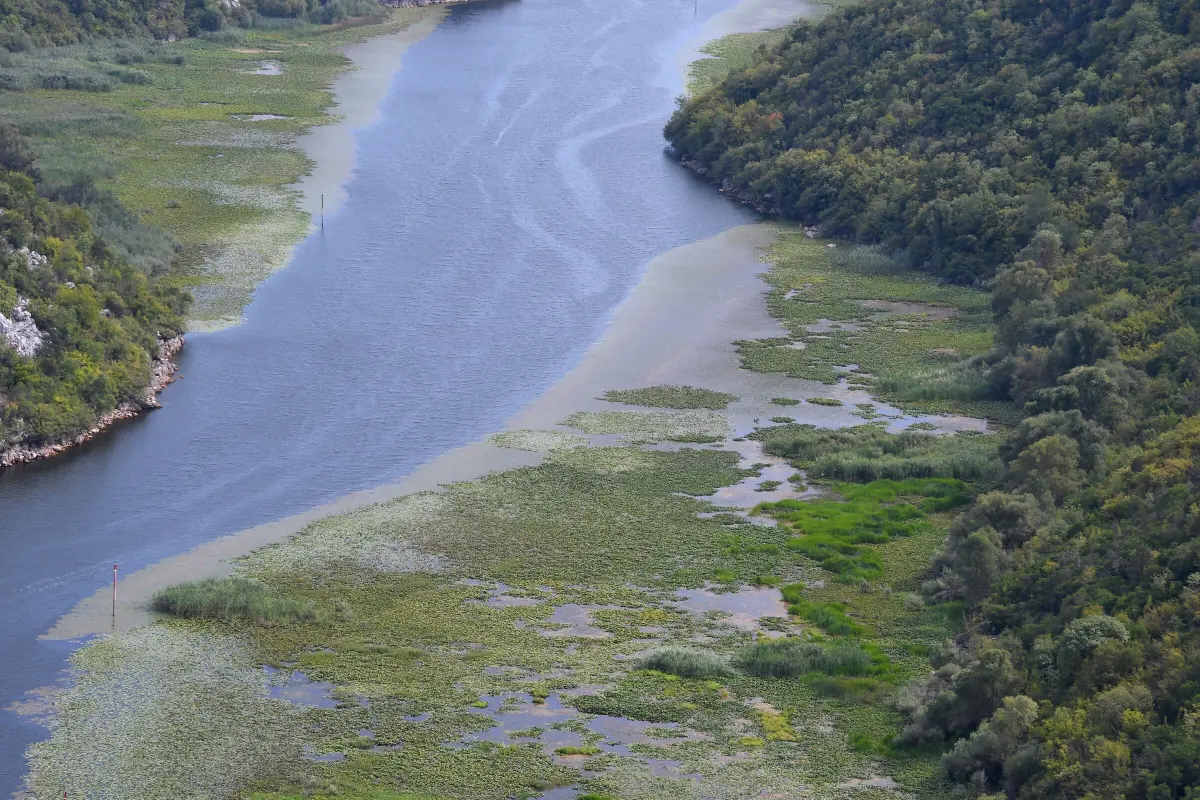
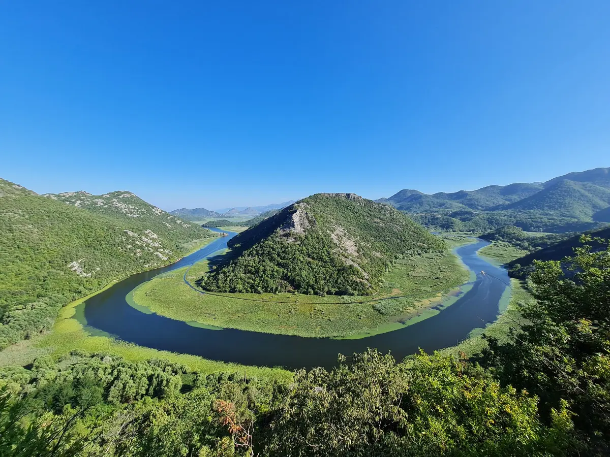
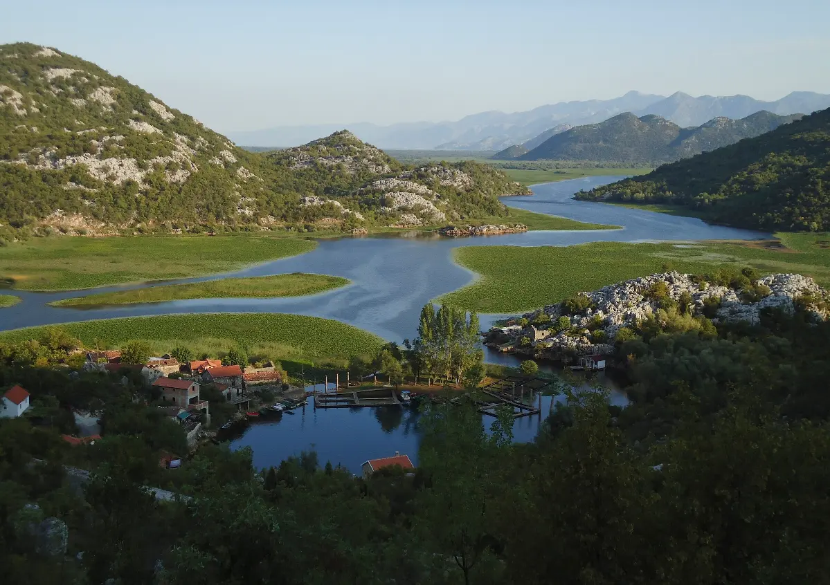
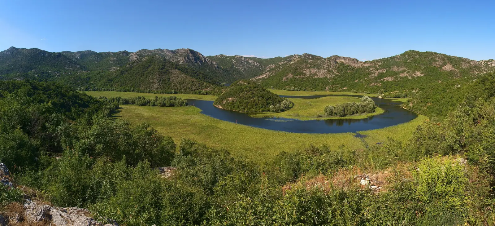
    If there is room, pull into the small lay-by at the viewpoint. Do not stop on the road itself. This is Pavlova Strana, which means Pavle's slope. Below you the river Rijeka Crnojevića makes an almost complete loop around a green hill, and then fades into the lake through reeds and water lilies. This scene is one of the best-known photographs of Montenegro, and you will see it on postcards, calendars and guidebooks. Here water and land take turns. In summer the plain around the river is green, and when the lake rises in winter, the water spreads across it. The same view is different in every season. The best light is in the morning and late afternoon, when it is also cooler. At midday the sun is high and the landscape looks flatter. The hills around you belong to the Riječka nahija, the old district around Rijeka Crnojevića. On terraces facing the sun and the lake, vranac and kratošija are grown here. Our next stop is in their wine villages.

    On to the next stop (⁨2.9 km⁩): Pull out carefully and carry on for about four kilometres towards Rvaši.

  11. Drušići and Rvaši: the wine of the Riječka nahija11
    Stop 111:17

    Drušići and Rvaši: the wine of the Riječka nahija

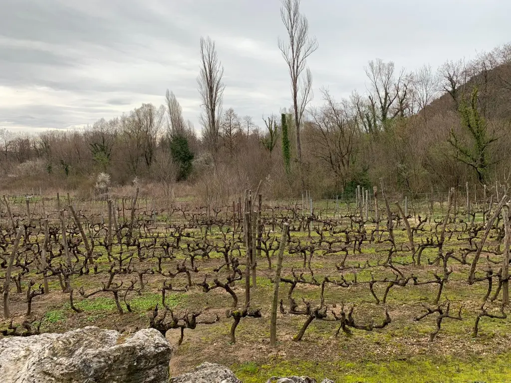
    You are driving through the Riječka nahija, the villages above Rijeka Crnojevića and the lake. The vineyards here are on terraces, and the cellars are small and family-run. Drušići is considered the best-known wine village of the area. Locals say the name comes from an old Illyrian word for grape. The Janković family has about four thousand vines here, which give some three thousand litres of wine and seven hundred and fifty litres of rakija a year. In Rvaši, in the hamlet of Suvodoli, the Šofranac family runs Mrkan Winery, with about three thousand vines on terraces. Their red is made from kratošija and vranac, and the tasting room looks over the vineyard and the village. At both wineries guests can join the harvest in August and September. On the other side of the valley are two more households: Rakčević in Smokovci, in a century-old family house, and Vukmirović in Gornji Ceklin, with a cellar dug into the ground. Here kratošija is poured as a wine in its own right more often than elsewhere. Try it, but if you are driving, ask your host to pack a bottle for later.

    On to the next stop (⁨1.8 km⁩): Follow the signs for Karuč and the national park. The last three kilometres are narrow and steep; it is best to park above the village and walk down.

  12. Karuč, Dodoši and Žabljak Crnojevića12
    Stop 121:24

    Karuč, Dodoši and Žabljak Crnojevića

    The road drops down to Karuč, a small fishing settlement on the north-western shore of the lake. It grew out of temporary fishermen's huts, because the bleak gathered in great numbers at the Karuč Eye, an underwater spring in the cove. The water from the spring stays cold and clear even in summer. Above the cove are the ruins of the winter residence of Bishop Petar the First, built in eighteen-oh-eight, where he spent the winters for the mild climate. About a kilometre from the spring, some eleven metres down, lies the wreck of the steamer Skenderbeg, sunk on the twelfth of February, nineteen forty-two. Divers can only visit it with a licensed operator. The car park at the bottom is small. If you left the car above, the walk down takes about five minutes. Before Karuč a narrow road branches off to Dodoši, an old, tightly built fishing village on a headland. In winter the lake surrounds it on almost every side. South-east of here, at the mouth of the Morača, stands the fortress of Žabljak Crnojevića, once Ivan Crnojević's capital. The Ottomans took it in fourteen seventy-eight, and it returned to Montenegro in eighteen seventy-eight. By car you reach it from the Podgorica side, and in summer also by boat. From Karuč and Rijeka Crnojevića local boats run trips on the lake. It is the best way to see the water lilies and the birds, and then the driver can have a glass too.

At the end

Farewell

This is where our drive ends. From Karuč, head back up to the main road. Podgorica is about twenty-two kilometres away, Cetinje about twenty-four. On the way to Podgorica you pass through the Lješanska nahija, where the Bogojević family in Staniseljići also welcomes visitors by appointment. On our website you will find pages for every winery we mentioned, with contacts, along with our page on Crmnica vranac, the map of wine tours, the fish of Lake Skadar and the Wine and Bleak Festival in Virpazar at the end of winter. If you are staying in Cetinje or Kotor tonight, try our audio walks through those towns too. Thank you for driving with us, and safe travels.

Good to know

Before you set off

Every word as text

The full narration of each stop is on this page and in the player, with the spoken sentence highlighted – for noisy streets and for deaf and hard-of-hearing visitors.

Works with the screen locked

Once you have pressed play, the narration keeps going with the screen off; use the lock-screen or headphone buttons for pause and next.

Your location stays on your phone

Location mode is optional and works only while this page is on screen. We never receive or store where you are.

Works offline

Download the tour before you go and it plays without mobile data.

Practical notes

Start: Virpazar, centre by the bridge over the Crmnica (free parking in the centre). Route: Virpazar → Crmnica (Orahovo, Sotonići, Donji Brčeli) and back → the old lake road via Komarno and Poseljani → Rijeka Crnojevića → Pavlova Strana → Rvaši → Karuč. About 54 km, about 2 h of driving without stops (the lake road is slow, about 40 km/h). End: Karuč; from there Podgorica is about 22 km, Cetinje about 24 km. Optional detours: Godinje +8 km (there and back), Limljani +24 km (there and back). Duration: half a day without tastings; a full day with a tasting, lunch and a boat trip. Best time: April–November (most wineries open, mostly by appointment); harvest from mid-September through October; water lilies in summer; the best light at Pavlova Strana is in the morning and late afternoon. Road: between Virpazar and Rijeka Crnojevića and down to Karuč the road is narrow and winding, with few passing places; difficult for large vehicles. Room for only a few cars at Pavlova Strana; small car park in Karuč, better to park above and walk down (about 5 min). Alcohol: the legal limit for drivers is 0.3 g/kg (0.3‰), 0 for young and novice drivers. Choose a designated driver; buy wine to take away. Wineries: family homes, call a day ahead; contacts are on the winery pages on our website. Tickets: none for the drive; tastings and boat trips are paid on site. Fishing in the national park needs a permit. Walking: short walks in Virpazar (path up to Besac Fortress), Godinje, Poseljani (steep stone path) and Karuč.

Audio guides

More audio guides

Narration: AI-generated voice from our editors' scripts · Map © OpenStreetMap contributors, OpenFreeMap. Map data and sources →

Zora

Your Montenegro travel guide

Hi, I'm Zora

Ask me about places, beaches, food, events or a trip plan — in any language.