Driving through Platije
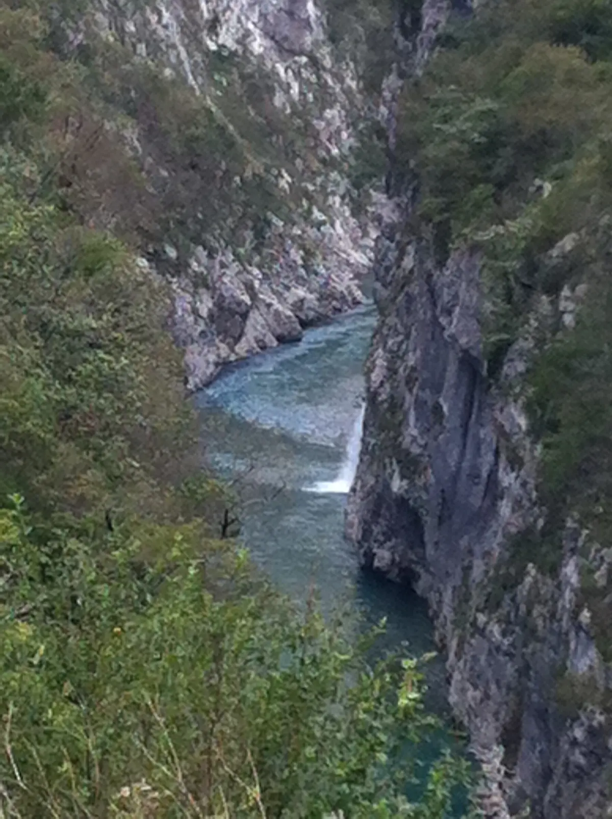
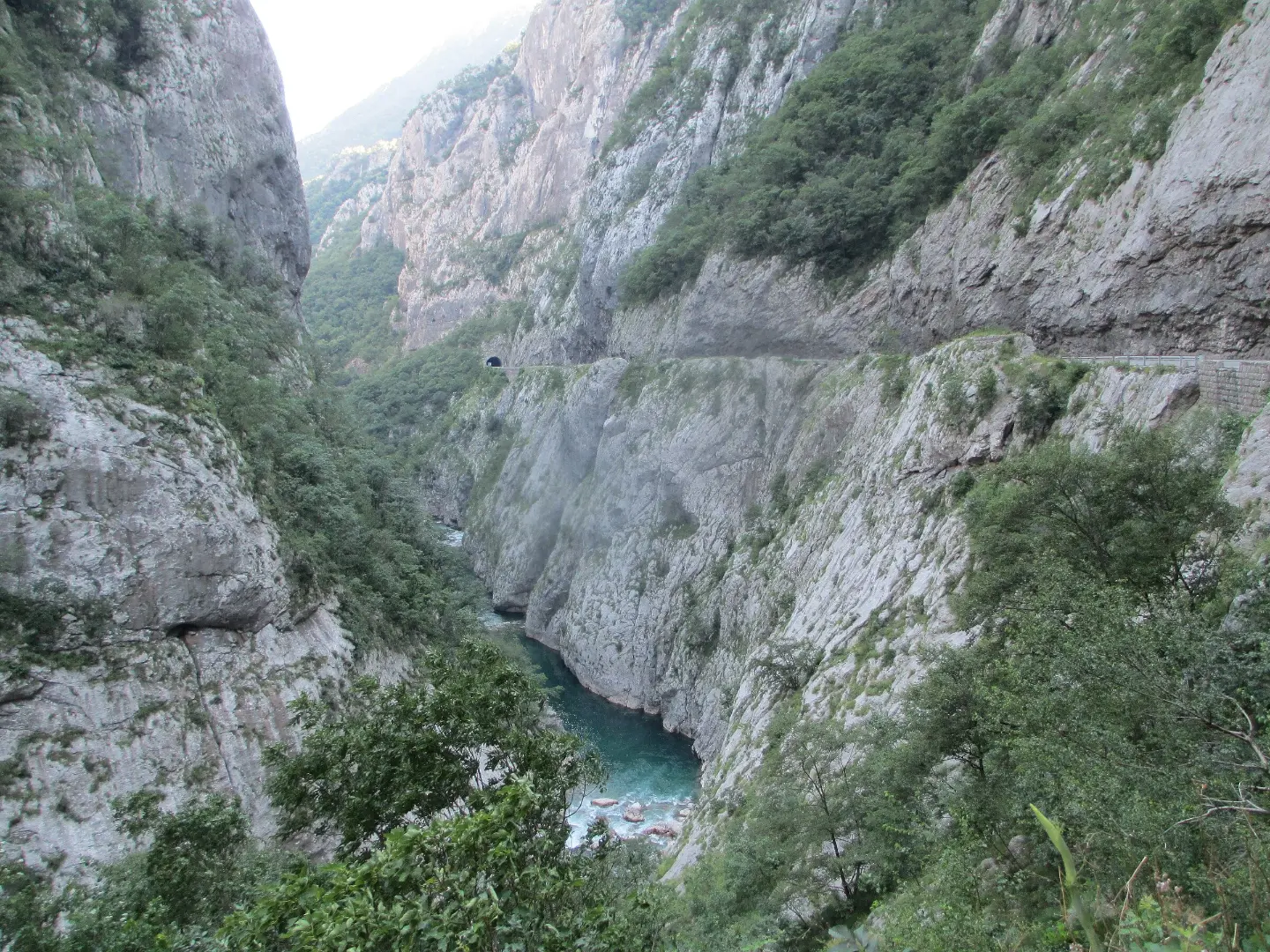
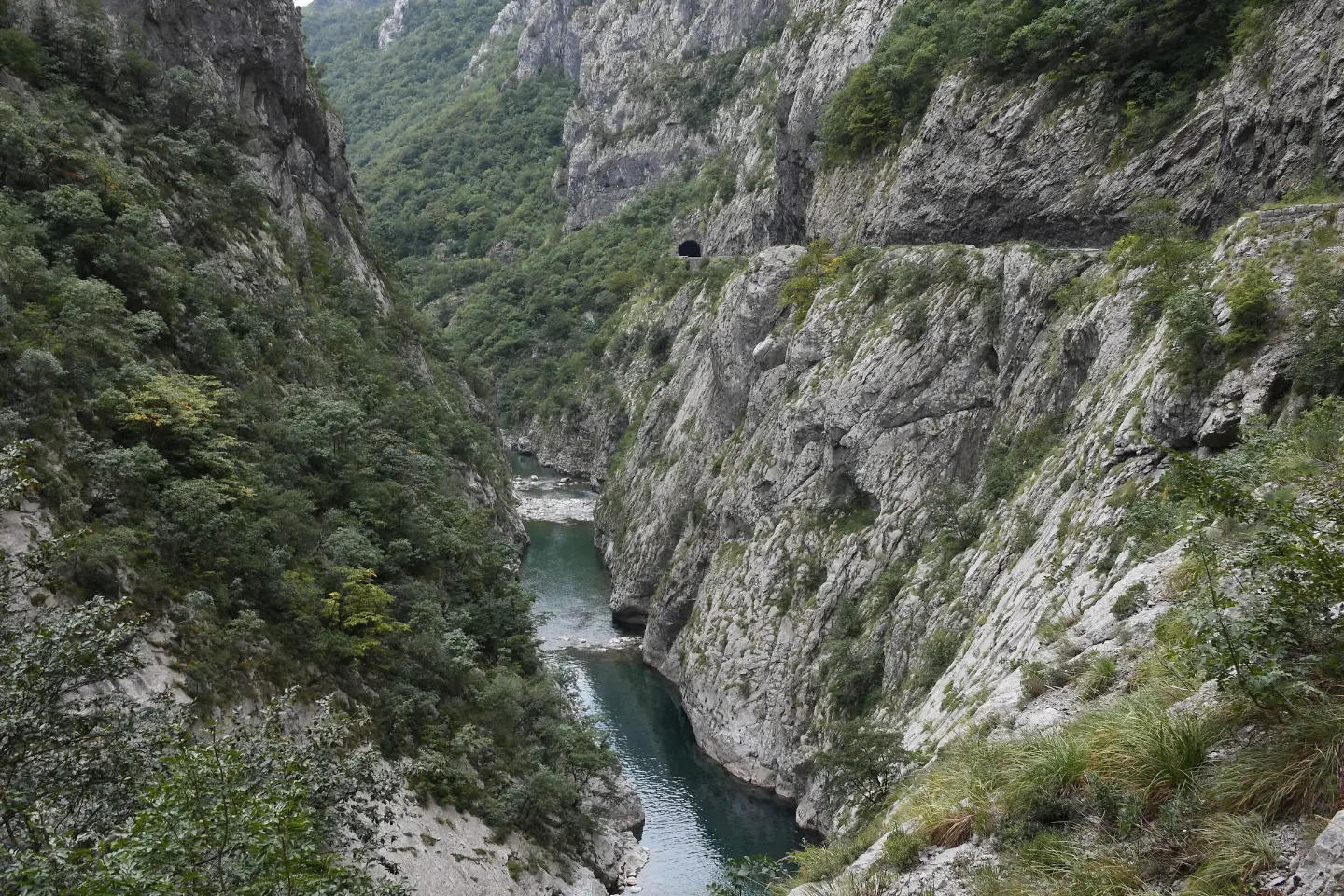
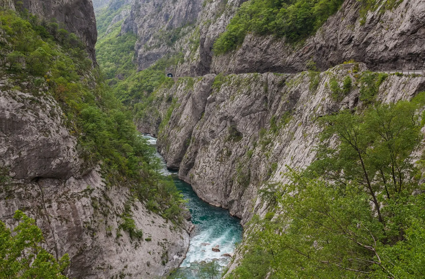
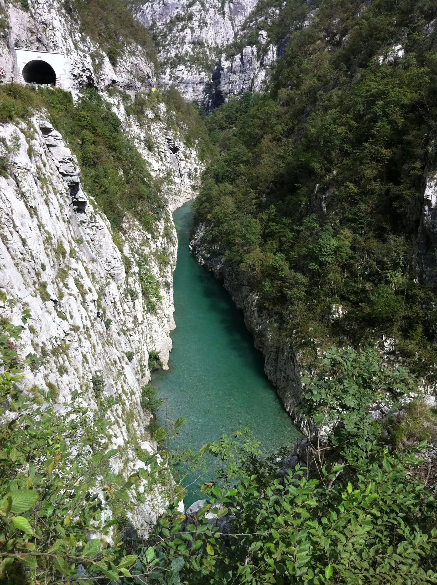
The old Podgorica – Kolašin road through the narrowest part of the canyon, with short tunnels and views of the river.
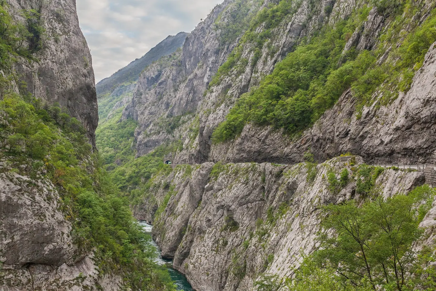
Platije and the old Podgorica – Kolašin road
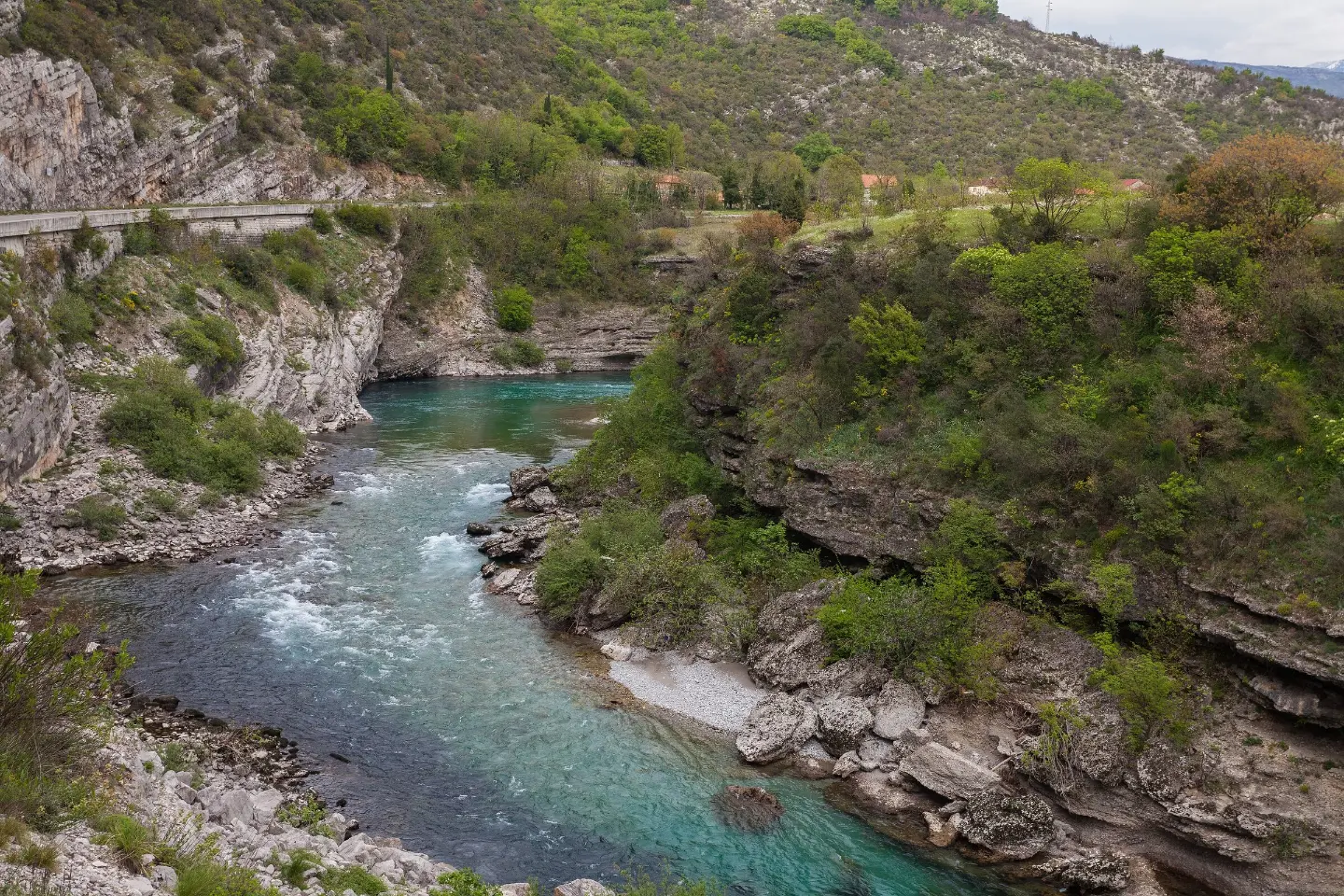
The Morača rises below the Morača mountains in Kolašin municipality and flows south to Lake Skadar.
On its way to Podgorica it has cut a canyon followed by the old Podgorica – Kolašin main road, carved into the cliffs with a series of short tunnels. The narrowest part of the canyon is called Platije. Along the canyon are Morača Monastery, from 1252, and the mouth of the Mrtvica, whose canyon has a walking trail. Since 2022 most traffic heading north uses the new motorway, so the old road through the canyon is quieter for those who want to see it.
Highlights
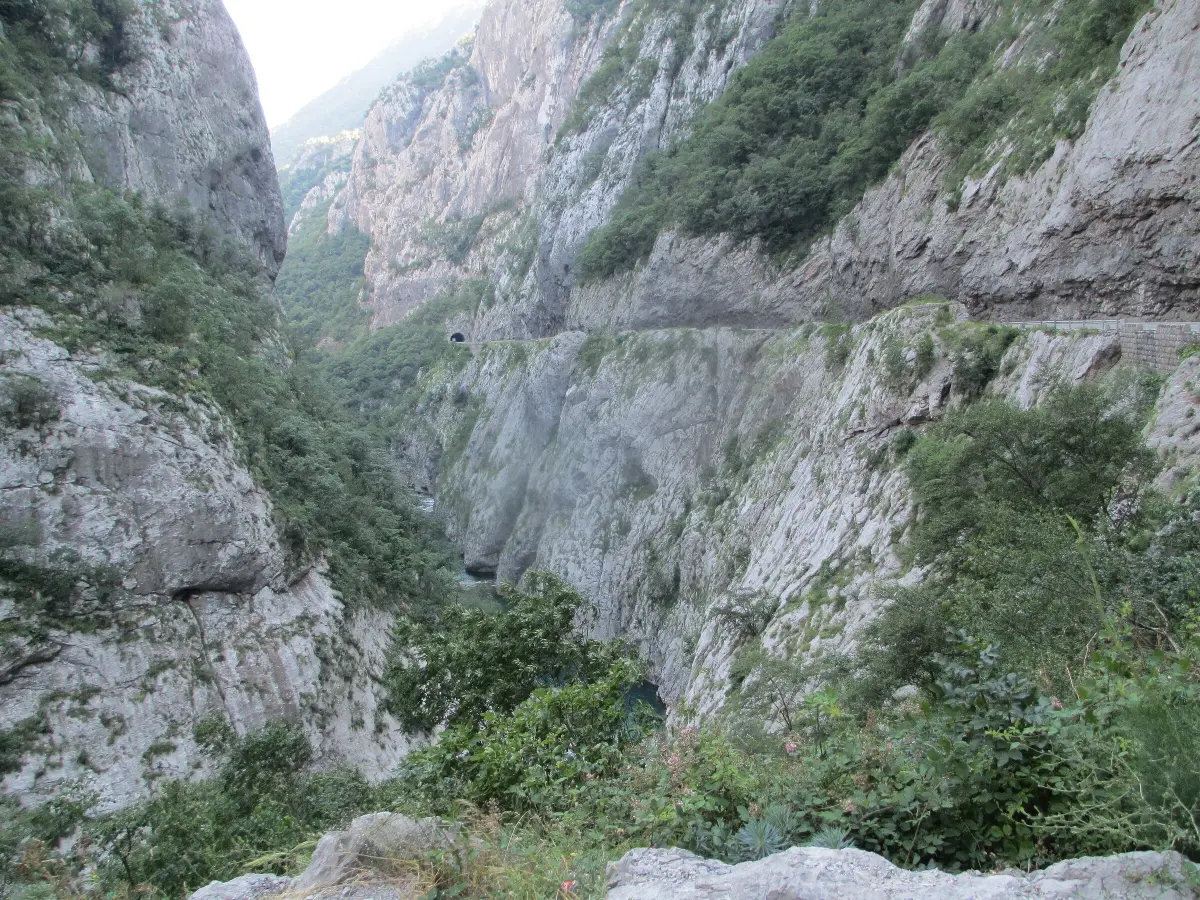
Platije is the narrowest part of the Morača canyon, between Podgorica and Međuriječje. The river runs far below the road between steep limestone cliffs, and in places the road is cut into the rock itself. The Platije gorge is also cited as the stretch of the Morača with the greatest hydropower potential.
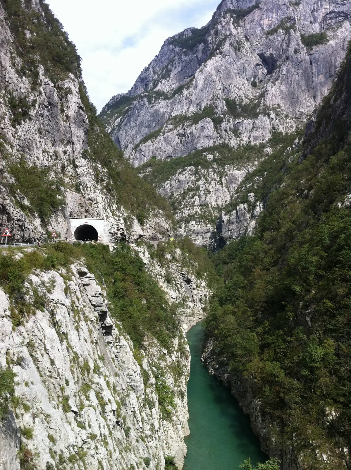
The Podgorica – Kolašin main road was for years the main link between the coast and the north. It squeezes through the canyon along the cliffs and through a series of short tunnels, and guides to Montenegro's scenic roads single out exactly this stretch. The road is narrow and winding: drive slowly and stop only in lay-bys.
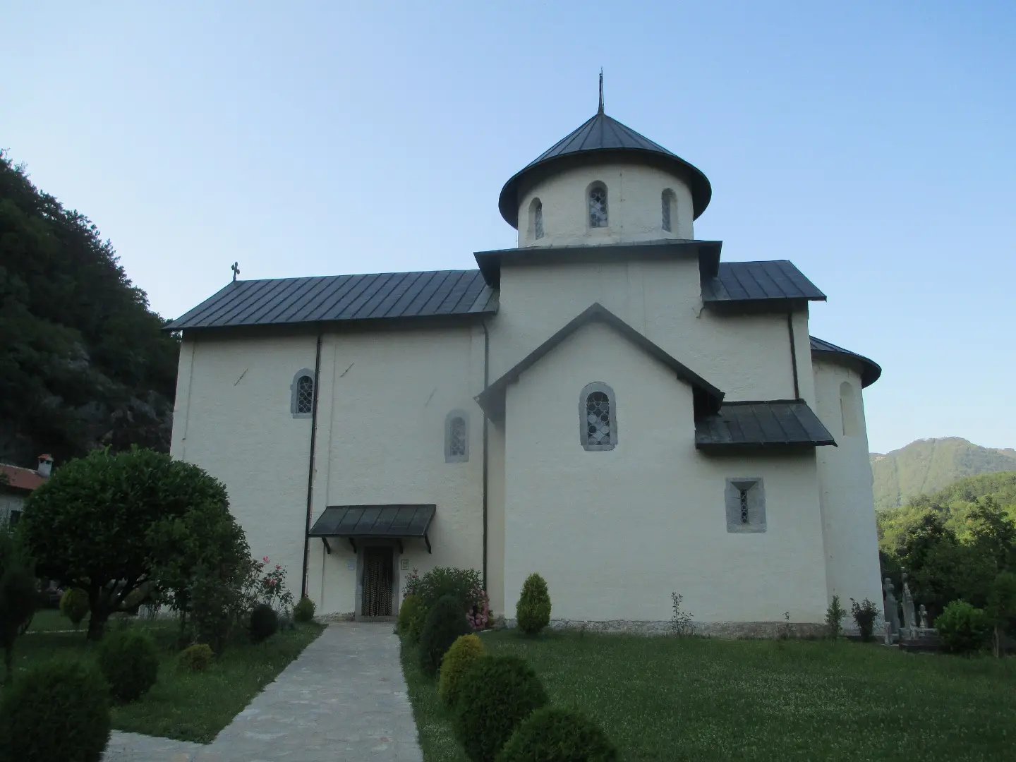
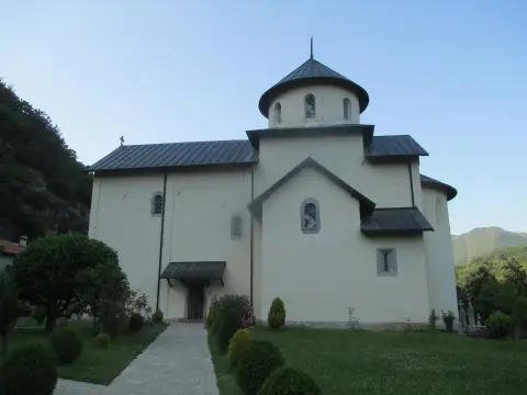
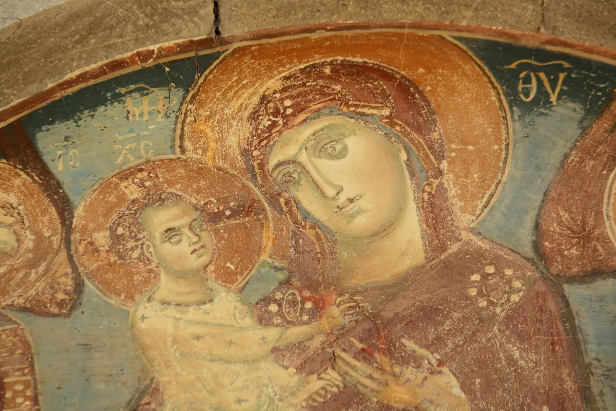
Where the canyon widens, on the right bank of the river, stands Morača Monastery, founded in 1252 by Prince Stefan, son of Vukan Nemanjić. It is known for its frescoes, and below the monastery the Svetigora waterfall drops into the Morača. The monastery is right beside the road, a natural place for a break.
Explore More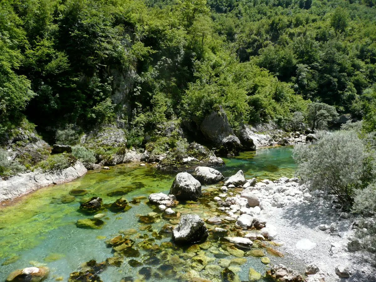
At Međuriječje the Mrtvica flows into the Morača. Its canyon, with cliffs 600 to 700 metres high, is followed by a walking trail about 6.6 kilometres long, over bridges and through a passage cut into the rock in 1973. The canyon cannot be seen from the main road; the trail starts at a bridge below the road.
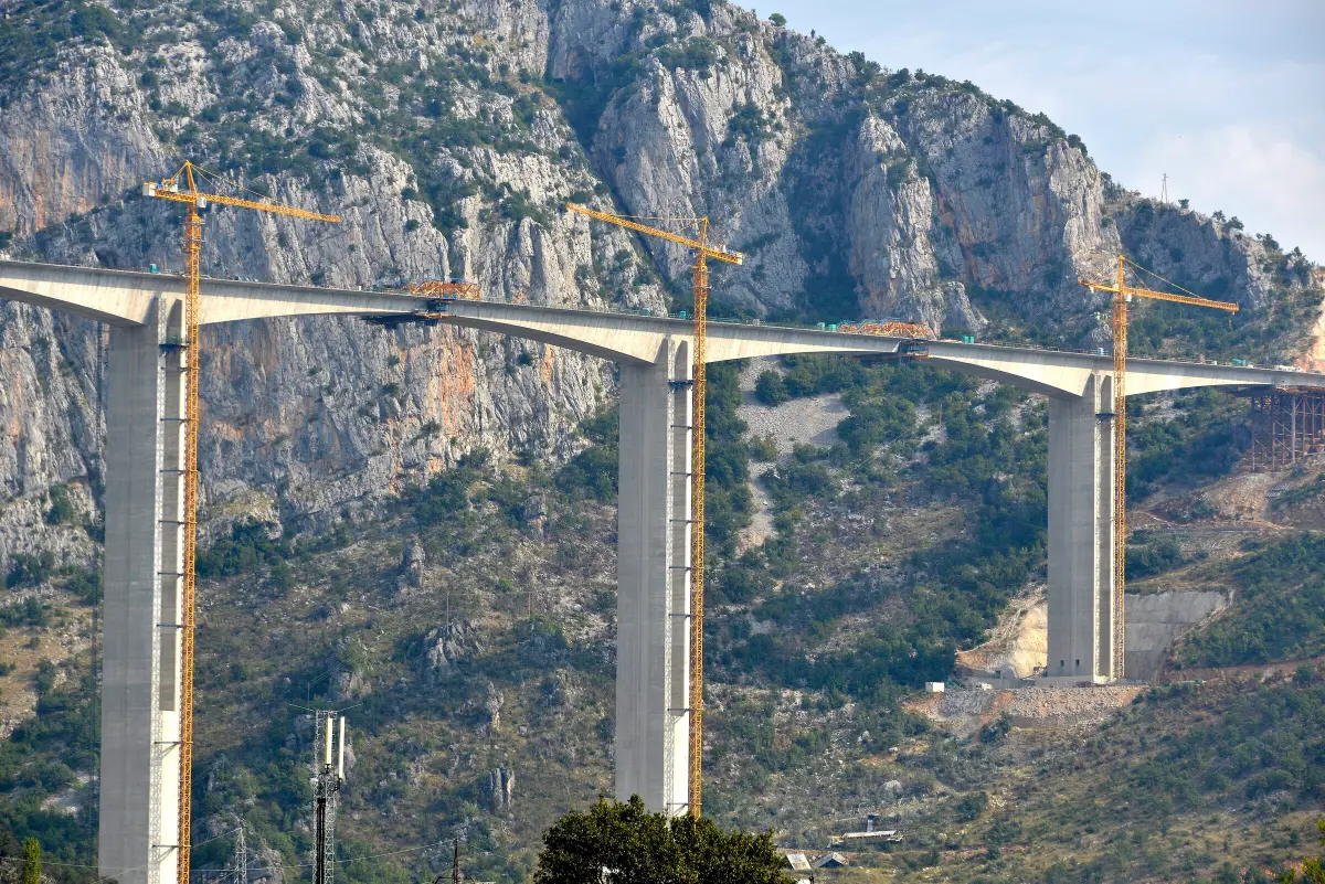
Since 13 July 2022, traffic to the north can also use the Smokovac – Mateševo motorway section, 41 kilometres long, with 20 bridges and 16 tunnels. Its most demanding structure is the Moračica bridge, 960 metres long, which crosses the Morača canyon. By motorway Mateševo is about 25 minutes away; on the old road through the canyon it takes about an hour and a half.
What to do
The old Podgorica – Kolašin road through the narrowest part of the canyon, with short tunnels and views of the river.
Mountains
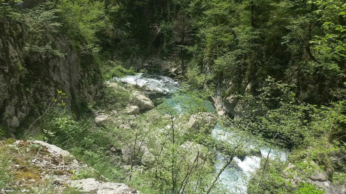
A trail of about 6.6 km from Međuriječje, over bridges and through a passage cut into the rock.
Culture
A monastery from 1252 with frescoes and the Svetigora waterfall, right beside the road.
Hiking, walking and cycling routes that start here or pass nearby, with maps and GPX downloads.

Top Biking Trail 1 – SALTY AND SWEET is a very demanding one-way cycling route 406.3 km long. It passes by Perast and Dobrota and through Lovćen National Park and Durmitor National Park.
406 km10,191 m6–8 days
View trail
A demanding one-way cycling route 398,8 km long, with a total ascent of 9352 m. It passes through Biogradska Gora National Park and Durmitor National Park, past Bijelo Polje, Kolašin, Nikšić and Žabljak.
399 km9,352 m5–8 days
View trail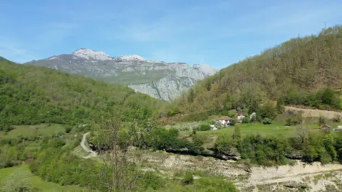
The hiking trail from Kruševački Potok to Međuriječje is 18.2 km long with a total ascent of 1,233 m. It is intended for experienced hikers and passes near the peaks Sijevik (1,147 m) and Papratnjak (1,062 m), a spring, and a viewpoint.
18.2 km1,233 m6½–9 h
View trail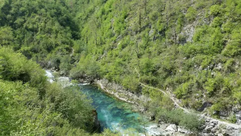
A 13.0 km trail leads from high terrain (1582 m) down to the valley (235 m), passing a mountain hut, springs, viewpoints, and a waterfall. It is intended for experienced hikers due to its length, difficult terrain, and a total descent of 1368 m.
13.0 km25 m4–5½ h
View trail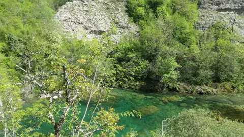
A short hiking trail of 0.9 km with a moderate ascent of 48 m. It is marked and leads partly along asphalt and partly along an earth path; along the way there is a mountain hut and camp.
0.9 km48 m15–25 min
View trail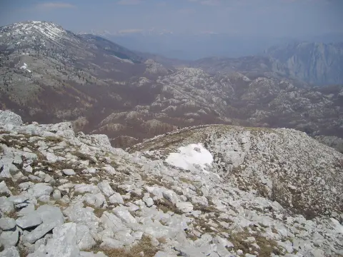
A multi-day mountain hiking route from Spuž to Poljana, 44.2 km long, with 463 m of ascent and 1992 m of descent. It is estimated at 13 h 50 min without breaks and is intended for experienced hikers.
44.2 km463 m2–3 days
View trail
Danielov put is a demanding one-way hiking trail: 12.1 km, 976 m of ascent and 395 m of descent, with an estimated duration of 5 h 35 min. The trail is marked and leads past a viewpoint, waterfalls, and a spring.
12.1 km976 m4½–6½ h
View trailEasy hiking trail 2.9 km long with total ascent of 124 m and descent of 81 m. It passes by a camp at 1393 m a.s.l. and a spring at 1450 m a.s.l., and is completed in about 1 h without breaks.
2.9 km124 m50–70 min
View trailGallery
Plan Your Visit
The canyon and the old road are open all year; in winter check road conditions.
There is no ticket for the canyon. The Smokovac – Mateševo motorway is tolled; the old road is not.
There are small lay-bys along the road for short stops; parking is at Morača Monastery and at the bridge over the Mrtvica in Međuriječje.
The canyon is seen from the car. The Mrtvica trail is rocky, with bridges, and needs comfortable shoes.
FAQ
Around here