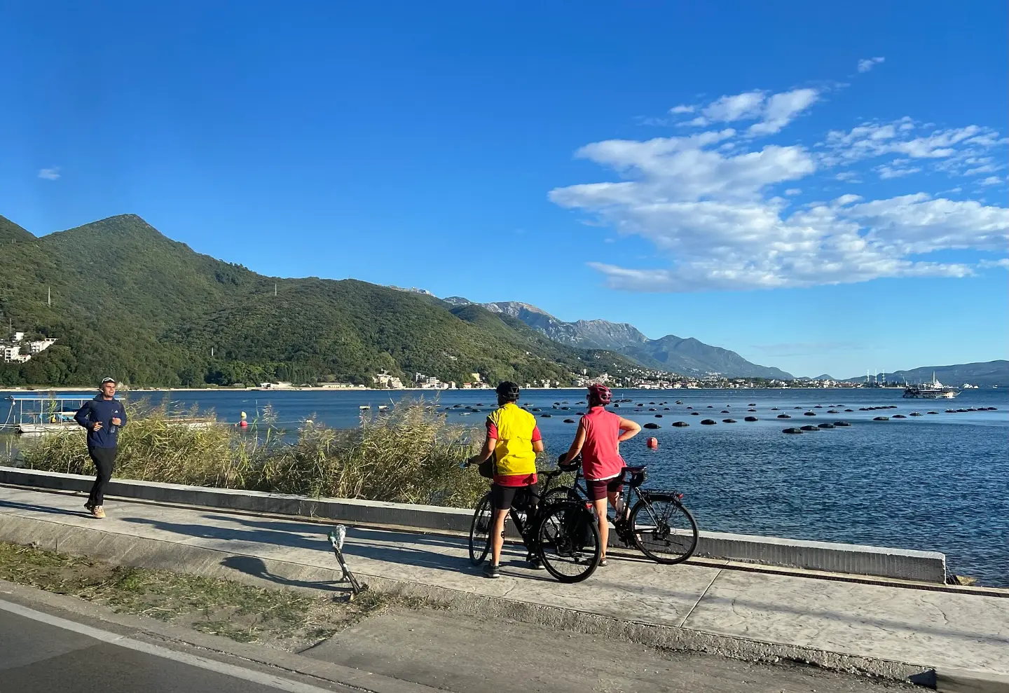
Road climbs, gravel tracks and long-distance routes from the coast to the mountains.
Ride the Adriatic coast, the serpentines above Kotor or the high plateaus of the north. Every route shows distance, climbing and riding time.

399 km↑ 9,352 m5–8 days
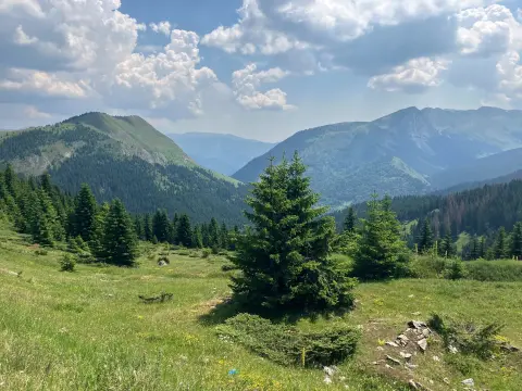
61.3 km↑ 1,755 m6½–9 h
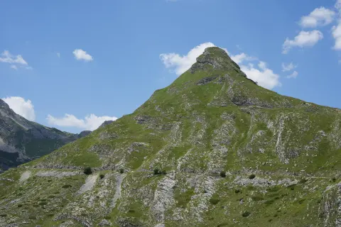
81.6 km↑ 2,135 m8–11½ h
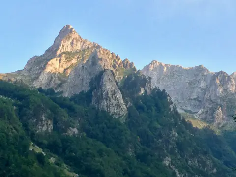
8.8 km↑ 279 m60–85 min
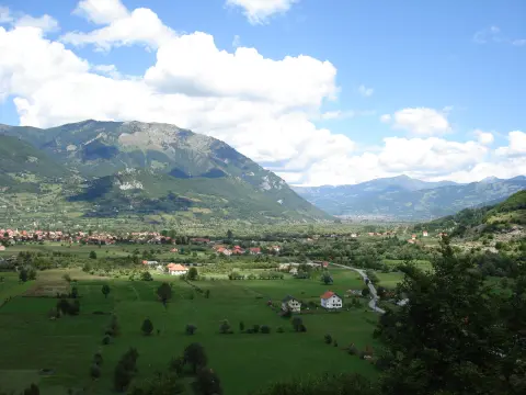
12.8 km↑ 73 m50–70 min
Loop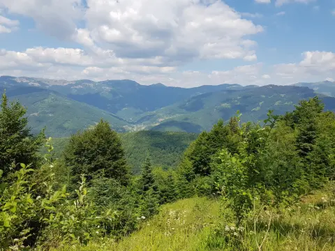
20.1 km↑ 1,064 m3–4 h
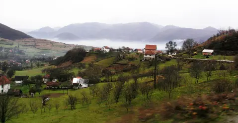
22.2 km↑ 359 m1½–2 h
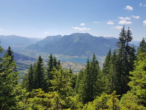
29.7 km↑ 951 m2½–3½ h
Loop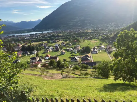
38.4 km↑ 1,440 m4½–6½ h
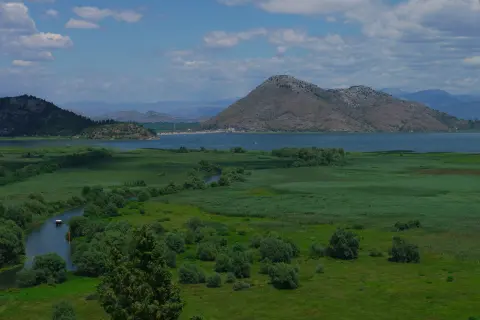
41.5 km↑ 870 m3–4 h
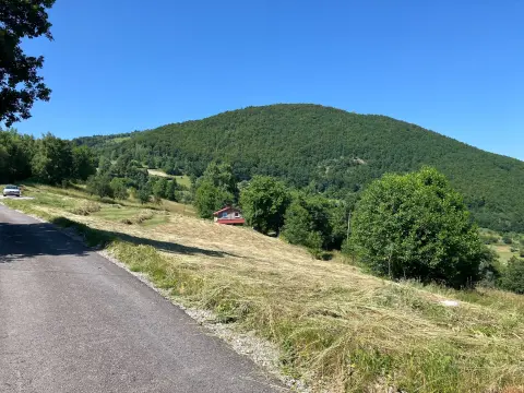
44.2 km↑ 1,794 m5½–8 h
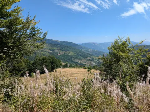
44.2 km↑ 1,188 m3½–5 h
Loop
84.6 km↑ 1,878 m8–11½ h
13.9 km↑ 160 m65–90 min
28.2 km↑ 879 m3–4½ h
28.6 km↑ 619 m2½–4 h
30.0 km↑ 747 m3–4 h
36.3 km↑ 953 m3½–5 h
36.9 km↑ 757 m2½–3½ h
19.4 km↑ 332 m1½–2½ h
Map and data sources
Routes come from OpenStreetMap and are checked by our editors; distances, ascent and times are calculated from the line and the Copernicus elevation model. Download all routes (GeoJSON, ODbL)

Ask about Montenegro
Ask me about destinations, restaurants or activities.
