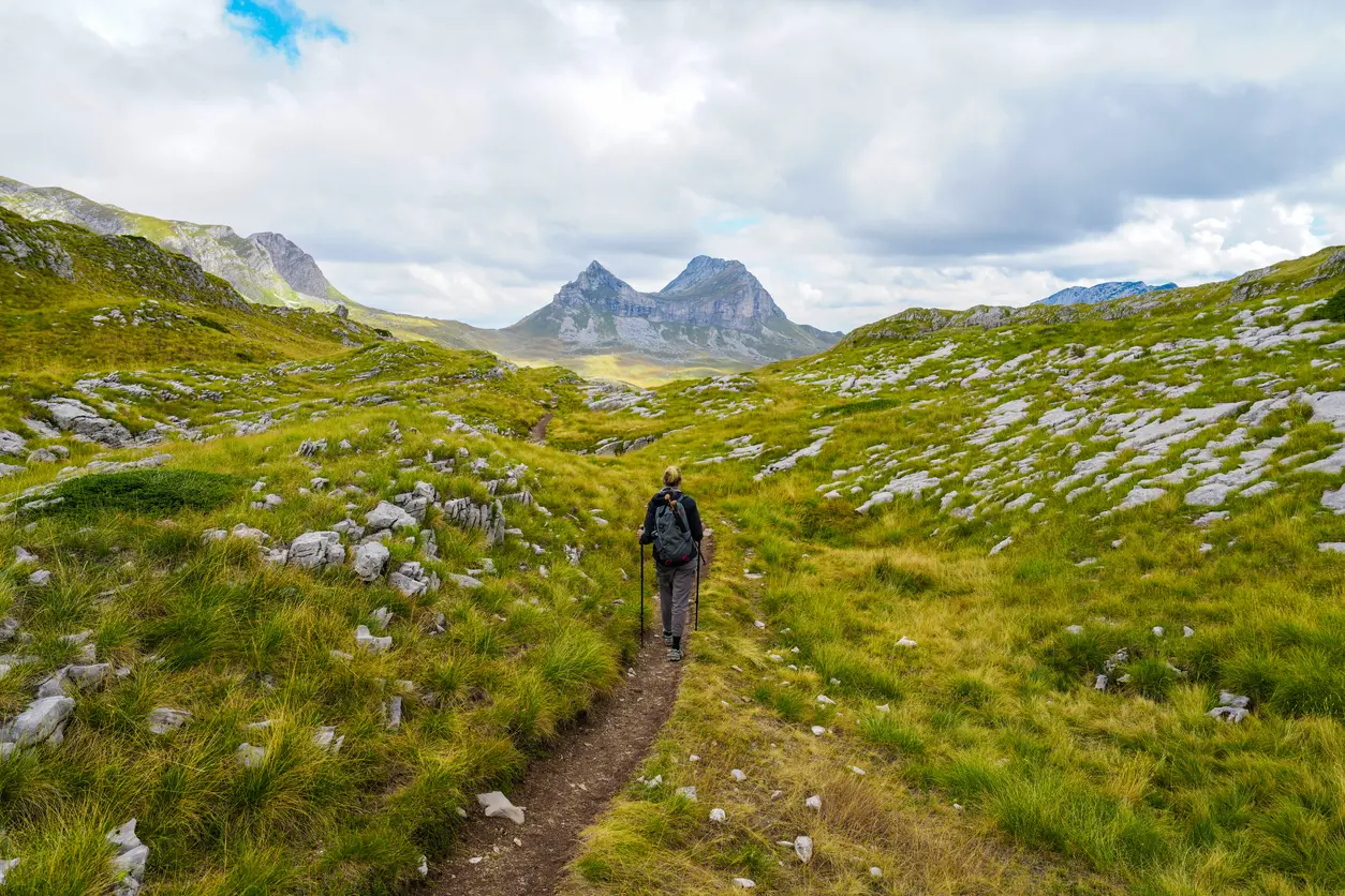
Mountain hikes, coastal walks and cycling routes, each with a map, an elevation profile and a GPX download.
From the peaks of Durmitor and Prokletije to old mule tracks above the Bay of Kotor: filter by activity, difficulty, length and area, and open any trail for its map and profile.
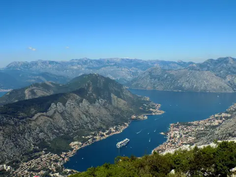
Cycling · Kotor · Lovćen National Park
The old road from Kotor to Njeguši climbs through 25 serpentines along the Lovćen slopes to Krstac Pass (about 940 m), with viewpoints over the Bay of Kotor and Tivat Bay. It is part of the panoramic route “Sea and Heights” and regional road R-1, and can be driven by car and bicycle, with a lot of caution.
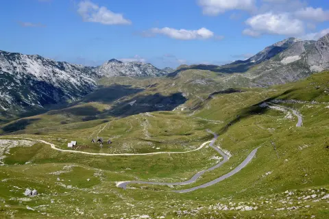
Cycling · Žabljak · Durmitor National Park
The Durmitor Ring is the official panoramic road marked as No. 2: a circular asphalt route around the Durmitor massif starting and ending in Žabljak, officially 76 km long. It runs along the edge of the Tara Canyon, through the Sušica Canyon and the villages of the Piva Mountain, over the passes below Štuoc (1,952 m) and Sedlo (1,907 m). It is suitable for driving and cycling.
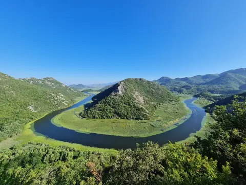
Cycling · Podgorica · Lake Skadar
A circular route from Podgorica: via the main road to Virpazar, then along the old, narrow road through the villages above Lake Skadar to Rijeka Crnojevića, and back via Pavlova strana along the Cetinje – Podgorica main road. The old road is alternative route 3b of the “Sea and Heights” panoramic road and part of cycling routes TT5 and EuroVelo 8.
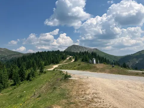
Hiking
A one-way hiking trail from Čakor Pass to Žljeb is 52.1 km long and covers 3,118 m of ascent. It is intended for experienced hikers (SAC T5) and offers peaks, passes, huts and springs.
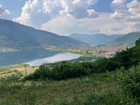
Hiking · Hridsko Lake · Prokletije National Park
The circular hiking trail in Prokletije National Park is 180.8 km long. With 9,342 m of total ascent and a highest point at 2,267 m above sea level, it is intended for experienced hikers.
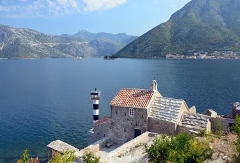
Cycling · Rose, Luštica · Lake Skadar
EuroVelo 8 – Mediterranean Route – Montenegro Section is a cycling route 195.0 km long from Njivice to Sukobin. It runs on asphalt, has 3,259 m of ascent and passes through the coastal area, Lovćen National Park and Lake Skadar.
Hiking · Šiško Lake · Biogradska Gora National Park
The trail from Biogradsko Lake to the Laništa katun and the Bogavac huts is about 3.7 km long (the sign in the park says 3.8 km). Forest roads and paths lead to the katun on the Bjelasica pass, on the border of Biogradska Gora National Park.
Cycling · Šiško Lake · Biogradska Gora National Park
The 6.26 km cycling trail of Biogradska Gora National Park leads from Biogradsko Lake (1,094 m) along a gravel road through old-growth forest, over nine switchbacks, to the katun Dolovi Lalevića at 1,685 m. It is moderately difficult, and the park arranged and marked it in 2025.
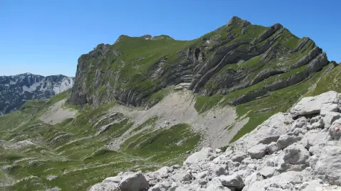
Hiking · Crno Jezero · Durmitor National Park
One-way hiking tour from Velika Previja to Bolj is 5.8 km long. With 331 m of total ascent and 484 m of descent, it is demanding and passes through Durmitor National Park.
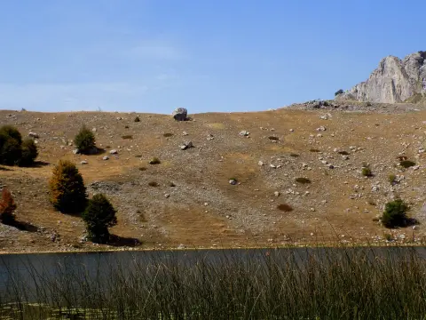
Hiking · Bukumirsko jezero
Official hiking trail no. 603 of the National Network of Mountain Trails leads from Bukumir Lake over a pass to the peaks Surdup and Štitan. The tour is very demanding and intended for experienced hikers.
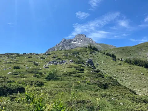
Hiking
The one-way hiking trail from Štavna to Pajkov Vir is 8.2 km long. With 347 m of ascent and 332 m of descent, it mostly follows a dirt and forest trail, with springs and camps along the route.
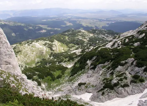
Hiking · Crno Jezero · Durmitor National Park
The 8.9 km long trail leads from Ivan Do to Gornja Ališnica through Durmitor National Park. With a total ascent of 1244 m and a duration of about 6 h 20 min, it is intended for experienced hikers.
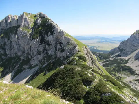
Hiking · Crno Jezero · Durmitor National Park
A one-way hiking tour from Crno jezero to Lokvice, 9.6 km long with a total ascent of 933 m. It leads through Durmitor National Park, past the Točak spring, an alpine bivouac, and viewpoints.
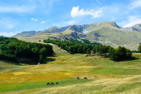
Hiking · Žabljak · Durmitor National Park
A challenging one-way hiking tour in Durmitor National Park. Trail no. 120 leads from Žabljak over Panalj and Šljeme to the Milošev tok peak at 2,426 m, with 1,090 m of ascent.
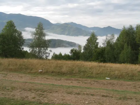
Hiking · Mojkovac
The trail of 11.3 km leads from Krstac to Vrioca with a total ascent of 616 m. It is demanding and intended for experienced hikers who want a long, varied walk through the mountain terrain above Mojkovac.
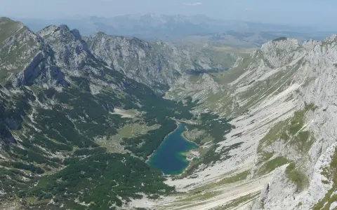
Hiking · Crno Jezero · Durmitor National Park
The hiking trail from Žabljak to Šarban via Bobotov kuk is 11.7 km long, with a total ascent of 1090 m and descent of 831 m. It passes through Durmitor National Park and takes approximately 6 h 45 min without breaks.
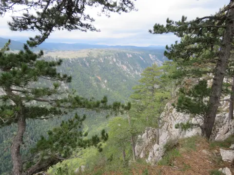
Hiking · Crno Jezero · Durmitor National Park
A demanding one-way hiking tour 12.8 km long with a total ascent of 982 m. The trail connects Black Lake and the Škrčka Lakes via the Mlinski Potok valley, Zmijinje Lake and Ališnica.
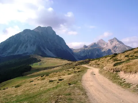
Hiking · Andrijevica
Hiking trail no. 306 of the National Mountain Trail Network leads from Andrijevica to Čelo Koma (1,816 m above sea level) in the heart of Komovi. The trail length is 15.2 km with an ascent of 1,082 m.
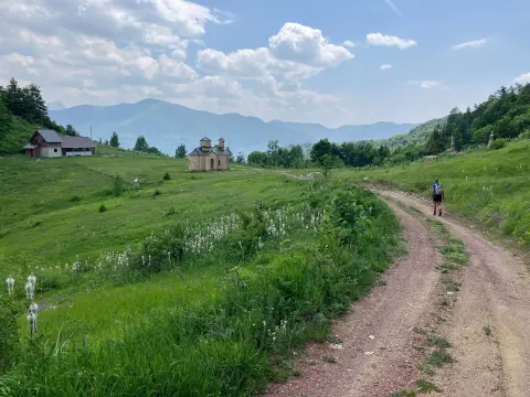
Hiking · Kolašin
The hiking trail from Mateševo via Ključ to Krivi Do is 15.3 km long. It has 949 m of total ascent, the highest point at 1791 m above sea level, and takes about 5 h 40 min without breaks.
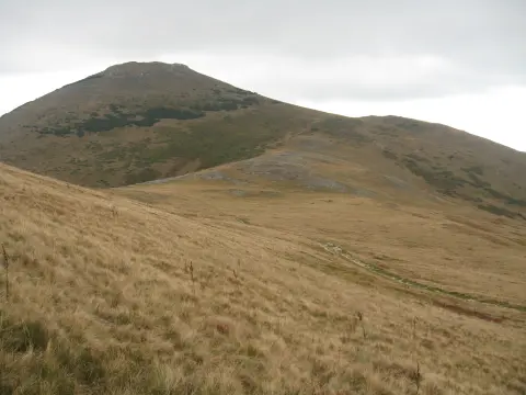
Hiking · Bijelo Polje · Biogradska Gora National Park
The Ribarevine – Šiško jezero trail is 17.3 km long and runs in one direction. It passes through Biogradska gora National Park to Šiško jezero, with a total ascent of 1,380 m and a duration of approximately 7 hours and 20 minutes without breaks.
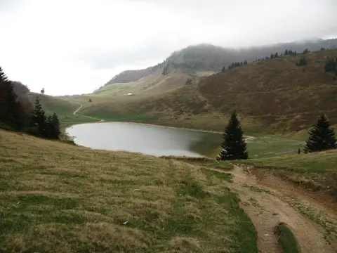
Hiking · Berane · Biogradska Gora National Park
The Berane – Šiško jezero hiking trail runs one way through Biogradska gora National Park. The length is 22.7 km, total ascent 1426 m, and estimated duration without breaks 8 h 30 min; the trail is very demanding and intended for experienced hikers.
Hiking · Berane
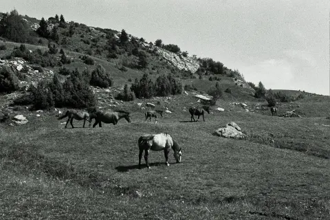
A very demanding one-way hiking trail: 22.8 km, 1330 m of ascent and 751 m of descent, with the highest point at 1857 m a.s.l. It starts near Berane and passes by peaks and water fountains.
Hiking · Bijelo Polje · Biogradska Gora National Park
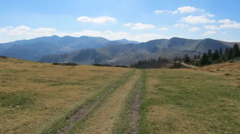
The trail from Ravna Rijeka to Šiško jezero is 22.8 km long with an ascent of 1540 m. It passes through Biogradska gora National Park, past the Cmiljača mountain hut and the Turijak summit, and is intended for experienced hikers.
Hiking · Kolašin · Biogradska Gora National Park
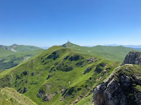
The hiking tour from Kolašin to Crna Glava is 22.9 km long with a total ascent of 1513 m. It passes through Biogradska Gora National Park, alongside lakes and peaks.
Routes come from OpenStreetMap and are checked by our editors; distances, ascent and times are calculated from the line and the Copernicus elevation model. Map and data sources →

