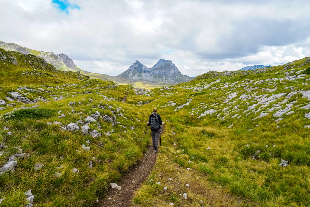
Mountain hikes, coastal walks and cycling routes, each with a map, an elevation profile and a GPX download.
From the peaks of Durmitor and Prokletije to old mule tracks above the Bay of Kotor: filter by activity, difficulty, length and area, and open any trail for its map and profile.
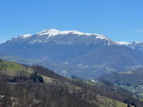
A one-way hiking trail from Čakor Pass to Žljeb is 52.1 km long and covers 3,118 m of ascent. It is intended for experienced hikers (SAC T5) and offers peaks, passes, huts and springs.
52.1 km3,118 m3–4 days
View trail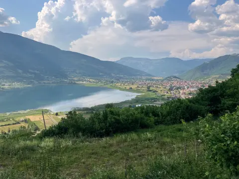
The circular hiking trail in Prokletije National Park is 180.8 km long. With 9,342 m of total ascent and a highest point at 2,267 m above sea level, it is intended for experienced hikers.
181 km9,342 m9–12 daysLoop
View trail
EuroVelo 8 – Mediterranean Route – Montenegro Section is a cycling route 195.0 km long from Njivice to Sukobin. It runs on asphalt, has 3,259 m of ascent and passes through the coastal area, Lovćen National Park and Lake Skadar.
195 km3,259 m2–3 days
View trail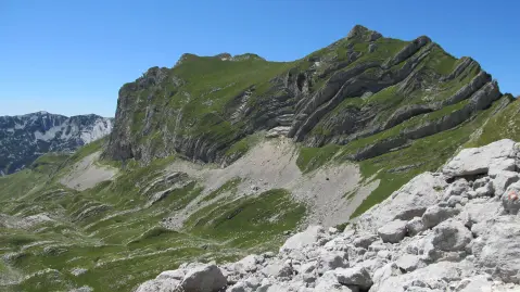
One-way hiking tour from Velika Previja to Bolj is 5.8 km long. With 331 m of total ascent and 484 m of descent, it is demanding and passes through Durmitor National Park.
5.8 km331 m2½–3½ h
View trail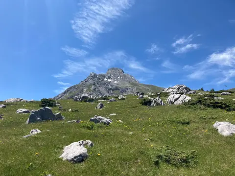
The one-way hiking trail from Štavna to Pajkov Vir is 8.2 km long. With 347 m of ascent and 332 m of descent, it mostly follows a dirt and forest trail, with springs and camps along the route.
8.2 km347 m2½–3½ h
View trail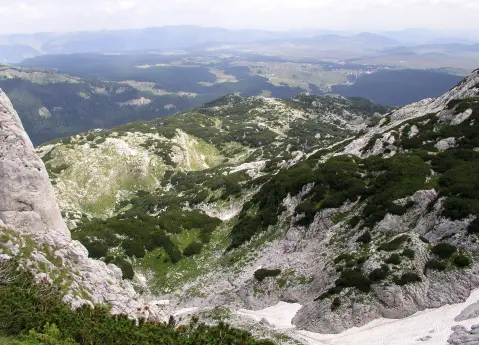
The trail, 8.9 km long, leads from Ivan Do to Gornja Ališnica through Durmitor National Park. With a total ascent of 1244 m and a duration of approximately 6 h 20 min, it is intended for experienced hikers.
8.9 km1,244 m5½–7½ h
View trail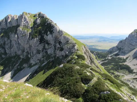
A one-way hiking tour from Crno jezero to Lokvice, 9.6 km long with a total ascent of 933 m. It leads through Durmitor National Park, past the Točak spring, an alpine bivouac, and viewpoints.
9.6 km933 m4½–6½ h
View trail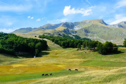
The Žabljak – Šljeme trail is 10.3 km long, with an ascent of 143 m and a descent of 1078 m. It passes through Durmitor National Park and takes about 3 h 55 min.
10.3 km143 m3½–4½ h
View trail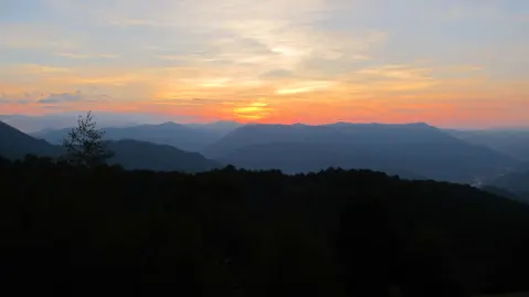
The trail of 11.3 km leads from Krstac to Vrioca with a total ascent of 616 m. It is demanding and intended for experienced hikers who want a long, varied walk through the mountain terrain above Mojkovac.
11.3 km616 m3½–5 h
View trail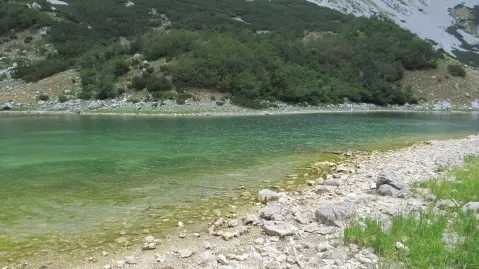
A trail of 11.6 km leads from the Škrka Mountain Lodge to the Škrčka Lakes through Durmitor National Park. The trail is demanding, with a total ascent of 542 m and descent of 821 m, passing several mountain springs and offering a beautiful viewpoint.
11.6 km542 m4–6 h
View trail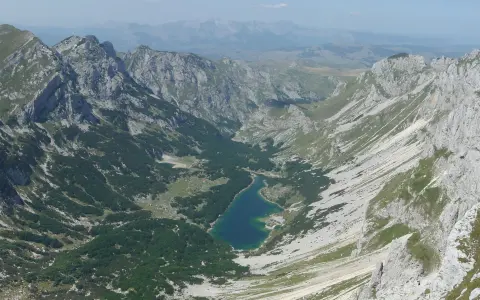
The hiking trail from Žabljak to Šarban via Bobotov kuk is 11.7 km long, with a total ascent of 1090 m and descent of 831 m. It passes through Durmitor National Park and takes approximately 6 h 45 min without breaks.
11.7 km1,090 m5½–8 h
View trail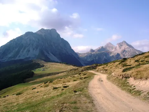
The challenging one-way mountain hike from Andrijevica to Komovi is 14.6 km long, with a total ascent of 1061 m and descent of 68 m, and an estimated duration without breaks of 5 h 30 min. It leads from 783 m a.s.l. to 1780 m a.s.l., past Mali krš, Dubačke glave and a mountain hut.
14.6 km1,061 m4½–6½ h
View trail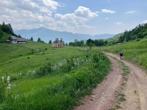
The hiking trail from Mateševo via Ključ to Krivi Do is 15.3 km long. It has 949 m of total ascent, the highest point at 1791 m above sea level, and takes about 5 h 40 min without breaks.
15.3 km949 m5–7 h
View trail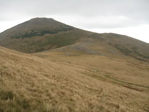
The Ribarevine – Šiško jezero trail is 17.3 km long and runs in one direction. It passes through Biogradska gora National Park to Šiško jezero, with a total ascent of 1,380 m and a duration of approximately 7 hours and 20 minutes without breaks.
17.3 km1,380 m6–9 h
View trail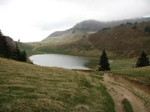
The Berane – Šiško jezero hiking trail runs one way through Biogradska gora National Park. The length is 22.7 km, total ascent 1426 m, and estimated duration without breaks 8 h 30 min; the trail is very demanding and intended for experienced hikers.
22.7 km1,426 m7–10 h
View trail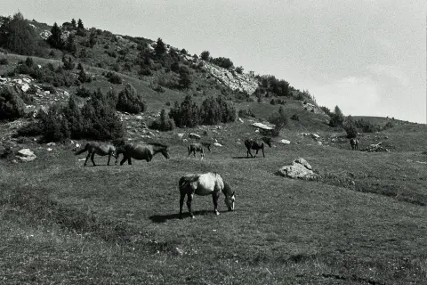
A very demanding one-way hiking trail: 22.8 km, 1330 m of ascent and 751 m of descent, with the highest point at 1857 m a.s.l. It starts near Berane and passes by peaks and water fountains.
22.8 km1,330 m7½–10½ h
View trail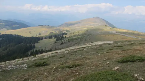
The trail from Ravna Rijeka to Šiško jezero is 22.8 km long with an ascent of 1540 m. It passes through Biogradska gora National Park, past the Cmiljača mountain hut and the Turijak summit, and is intended for experienced hikers.
22.8 km1,540 m7½–10½ h
View trail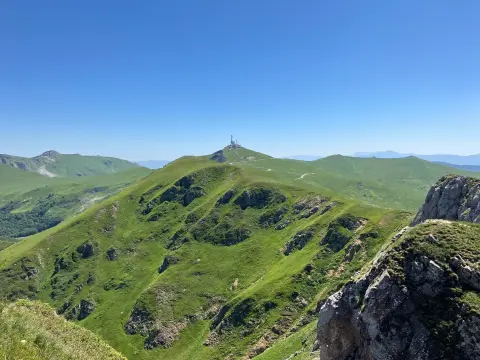
The hiking tour from Kolašin to Crna Glava is 22.9 km long with a total ascent of 1513 m. It passes through Biogradska Gora National Park, alongside lakes and peaks.
22.9 km1,513 m7½–10½ h
View trail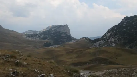
A very demanding hiking tour of 23.5 km in Durmitor National Park. It leads from Šarban via Škrka to Nedajno, with an ascent of 1394 m and the highest point at 2109 m above sea level.
23.5 km1,394 m8½–12 h
View trail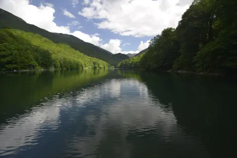
The hiking trail from Radigojna to Kraljevo kolo is 24,0 km long, with a total ascent of 978 m and descent of 1070 m. The estimated duration without breaks is 8 h 40 min, and the surface is mostly macadam, with asphalt and forest sections.
24.0 km978 m7½–10½ h
View trail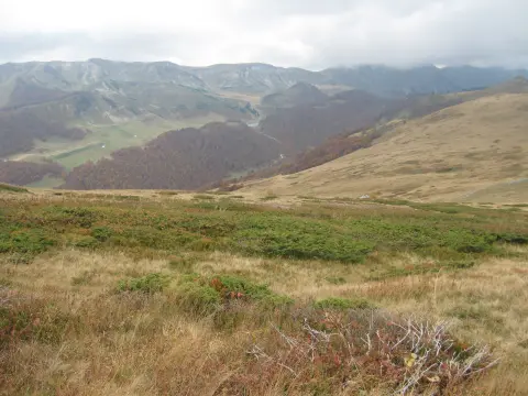
The Brzava – Šiško Lake hiking trail is 26.3 km long and leads through Biogradska Gora National Park. With 1589 m of ascent and the highest point at 2011 m above sea level, it is intended for experienced hikers.
26.3 km1,589 m8½–11½ h
View trail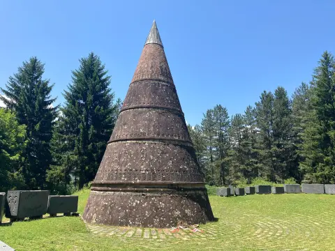
A 27.2 km tour leads from Berane to Bogaje (Rožaje) with a total ascent of 1216 m. It passes a series of mountain peaks and is intended for experienced hikers.
27.2 km1,216 m8–11½ h
View trail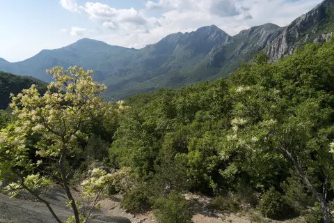
A multi-day tour of 30.2 km leading from Lunje to the Sutorman pass, following red-and-white markings through forest and gravel road sections. The total ascent is 1,491 m, and the tour is intended for experienced hikers.
30.2 km1,491 m2–3 days
View trail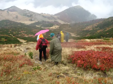
Length 32.9 km with a total ascent of 1691 m and a descent of 1225 m. A very demanding one-way tour through Biogradska Gora National Park, starting near Mojkovac.
32.9 km1,691 m2–3 days
View trailRoutes come from OpenStreetMap and are checked by our editors; distances, ascent and times are calculated from the line and the Copernicus elevation model. Map and data sources →

Ask about Montenegro
Ask me about destinations, restaurants or activities.
